Theux Communal Cemetery
- Country Belgium
- Total identified casualties 31 Find these casualties
- Region Liege
- Identified casualties from First World War
- GPS Coordinates Latitude: 50.53621, Longitude: 5.80394
Location information
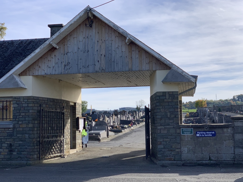
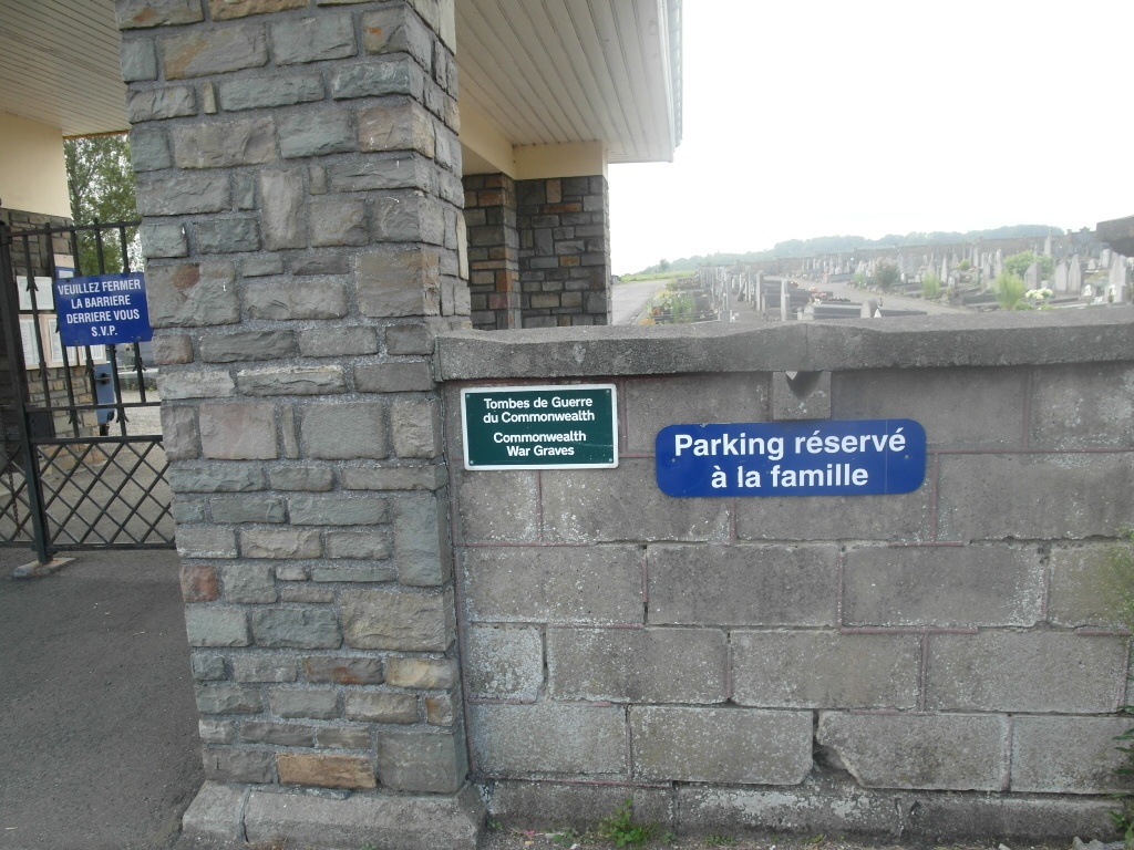
The village of Theux is located south-west of the town of Verviers on the N62. From the motorway E40 which runs between Brussel and Aachen turn off at the junction with the E42 and follow the E42 direction Verviers. Turn off the E42 at junction 8 and onto the N657 direction Theux and follow this road to the junction with the N690. In the village centre turn right by the town hall into Rue De La Chaussee to the junction with the N62. Turn right direction Louveigne along Rue Tillot, the cemetery is along on the left after the sharp left hand bend. The graves are located along the right hand side of the cemetery half way along.
History information
The 36th Clearing Station was posted in the village of Theux from December 1918 to January 1919, and the 61st from January to April 1919.
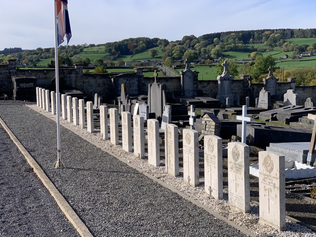
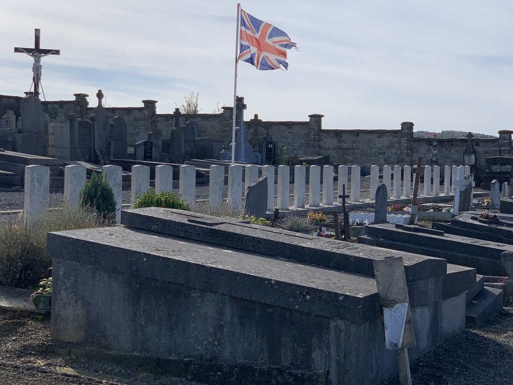
Theux Communal Cemetery contains 31 Commonwealth burials of the First World War.