Frameries Communal Cemetery
- Country Belgium
- Total identified casualties 28 Find these casualties
- Region Hainaut
- Identified casualties from First World War
- GPS Coordinates Latitude: 50.4129, Longitude: 3.90666
Location information
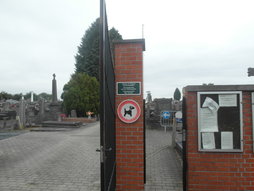
The village of Frameries is located south-west of Mons off the R5 ring. From the E19 motorway turn off at junction 24a and onto the ring R5. Follow the ring to the junction with the N544, turn right onto the N544 direction Frameries. Follow the N544 into Frameries and at the first turning on the left turn left into rue Sainte-Philomene. Take the first turning left into rue Donaire, cross the railway and the cemetery is along here on the left. The graves are located in the Belgian Military area in plots 9 and 39.
History information
The 9th Infantry Brigade fought their way through the streets of Frameries on 24 August 1914. The village remained in German hands until retaken by the Canadian Corps at the end of the war.
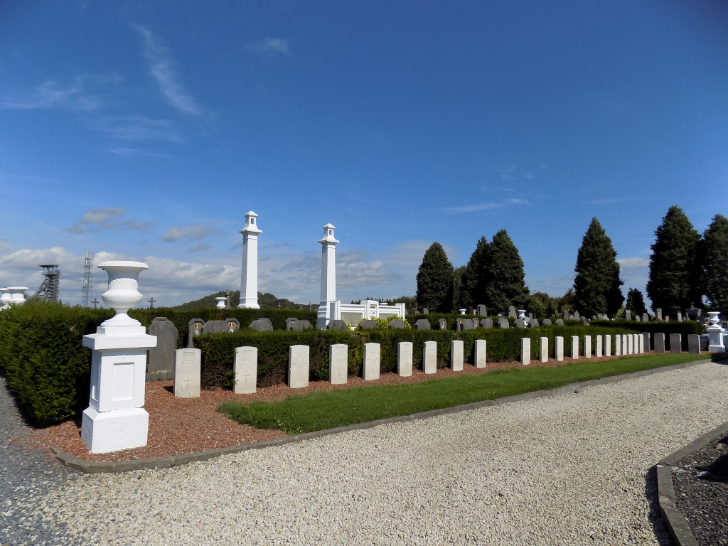
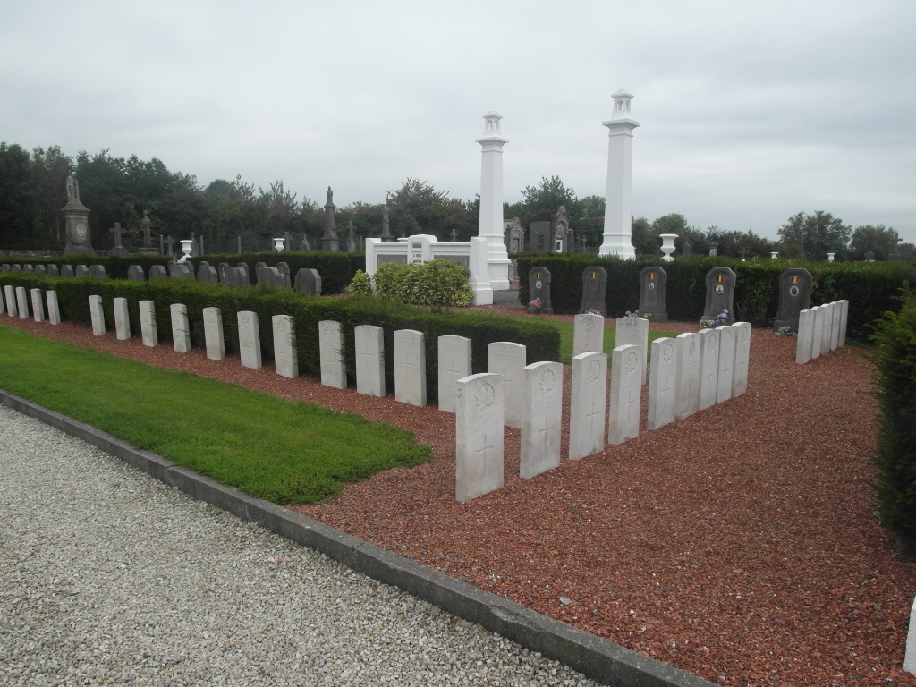
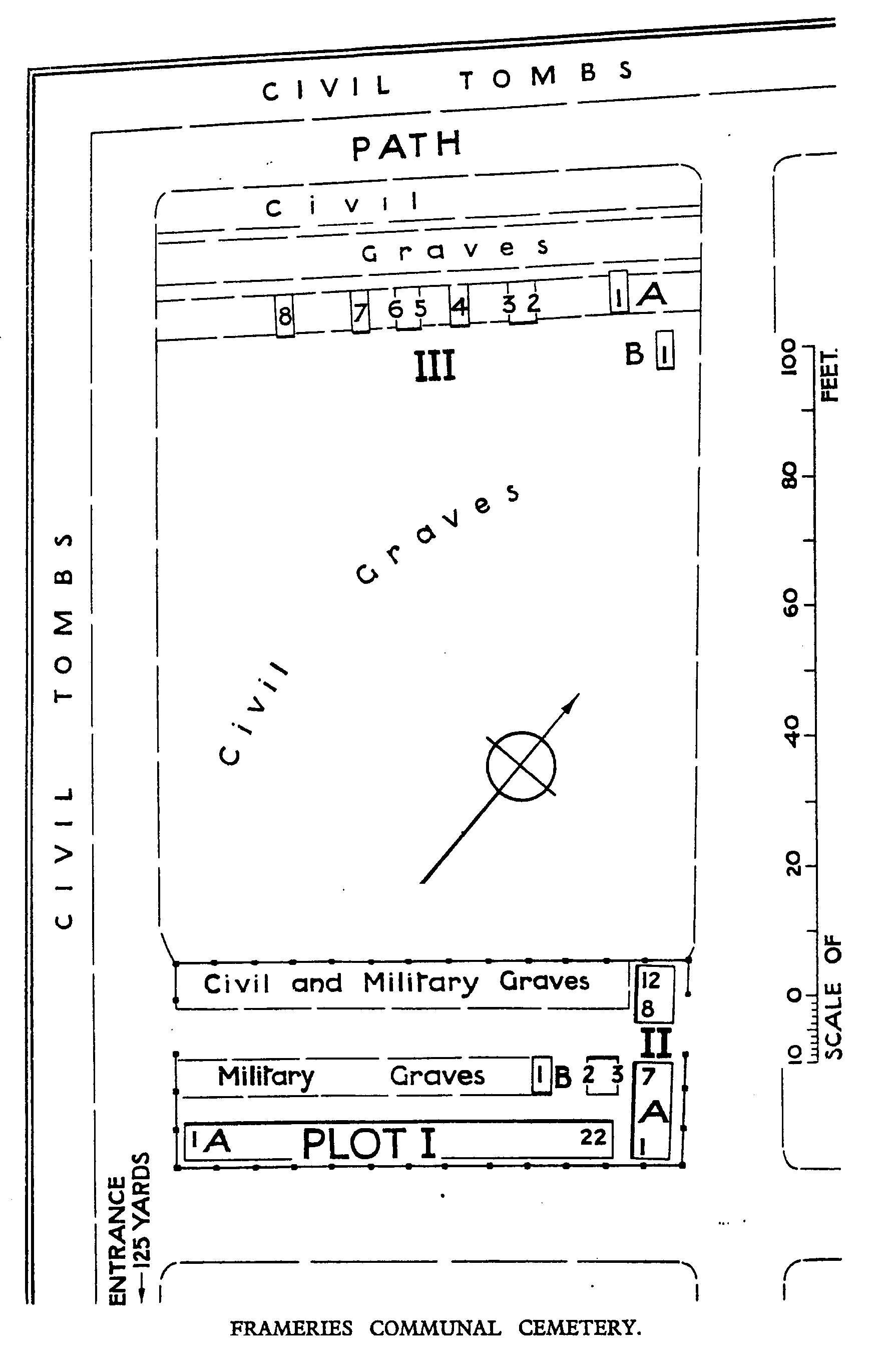
The North-West part of the Communal Cemetery contains three small Plots of British graves. In Plot 1 are the graves of 69 soldiers from the United Kingdom who fell in August 1914, and who belonged mainly to the 3rd Division and largely to the 1st Lincolns; these graves, with one exception, were brought into the cemetery after the Armistice. In Plot II are nine United Kingdom burials and eight Canadian, of 1914 and 1918; five of these were brought in. Plot III contains nine burials of 1914.
The cemetery now contains 95 Commonwealth burials of the First World War, 67 of which are unidentified.