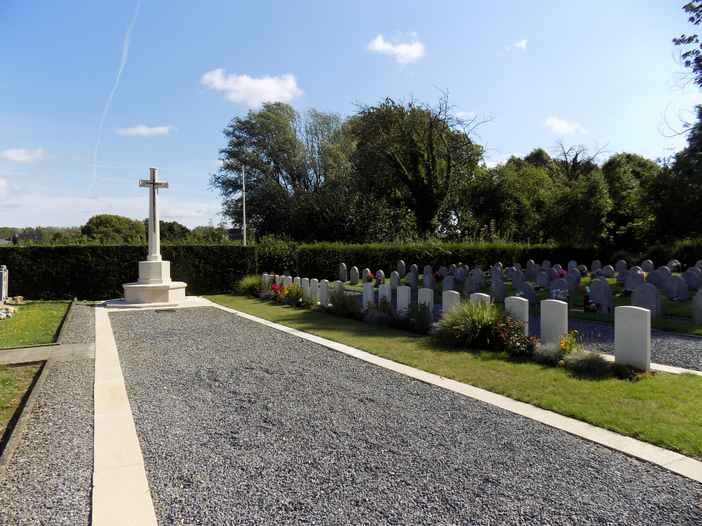
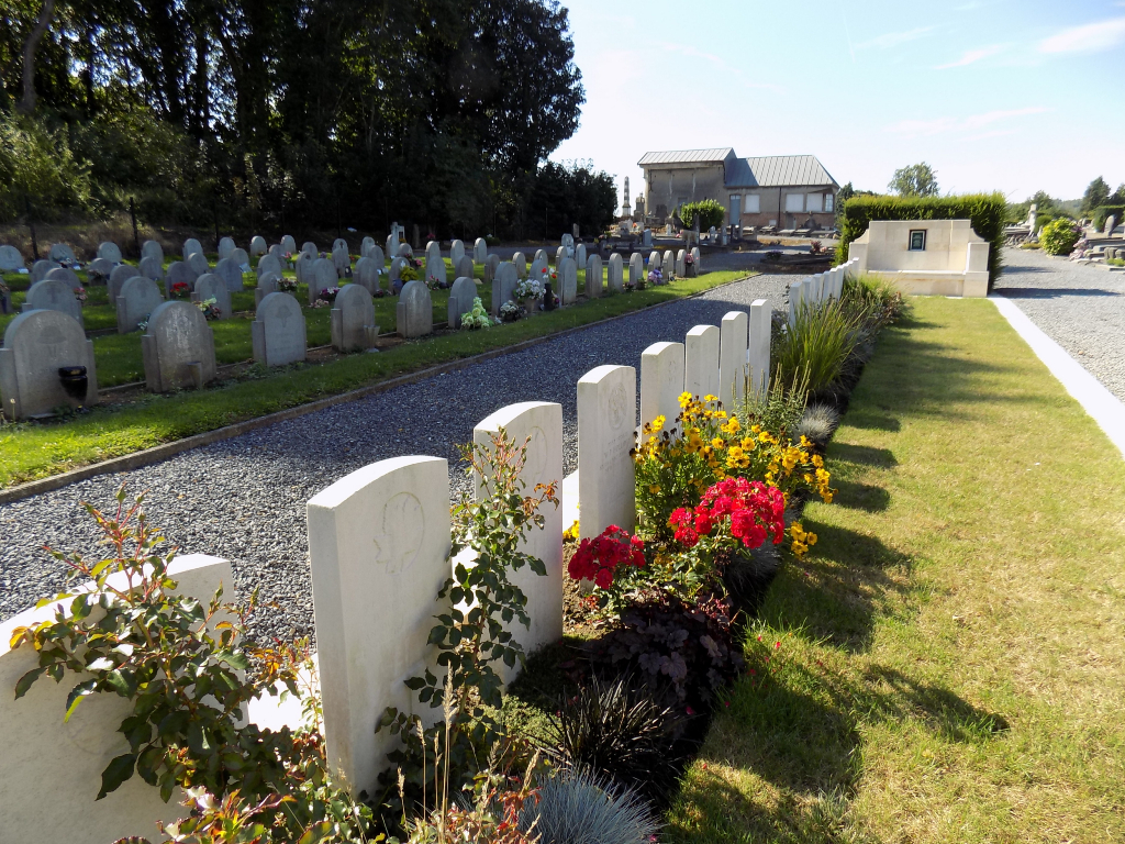
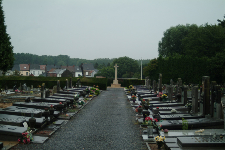
Cuesmes Communal Cemetery
- Country Belgium
- Total identified casualties 9 Find these casualties
- Region Hainaut
- Identified casualties from First World War
- GPS Coordinates Latitude: 50.43432, Longitude: 3.92127
Location information
Cuesmes Communal Cemetery is located 2 km west of Mons. From the R50 Mons ring road the N6 leads southwards towards Maubeuge. 700 metres along the N6 Avenue General De Gaulle lies the right hand turning onto the N544 chaussee de Cuesmes. 2 km along the N544 lies the village of Cuesmes. On reaching the village the cemetery is located 300 metres beyond the village square on the right hand side of the rue de Frameries.
Visiting information
Visitors should note that this site is restricted to normal cemetery opening hours.
Wheelchair access is possible via main entrance.For further information regarding wheelchair access, please contact our Enquiries Section on enquiries@cwgc.org or 01628 507200.
History information
Cuesmes Communal Cemetery contains 47 Commonwealth burials of the First World War, 38 of which are unidentified. They date from August 1914 and October-December 1918, and in most cases they were brought into the cemetery after the Armistice.