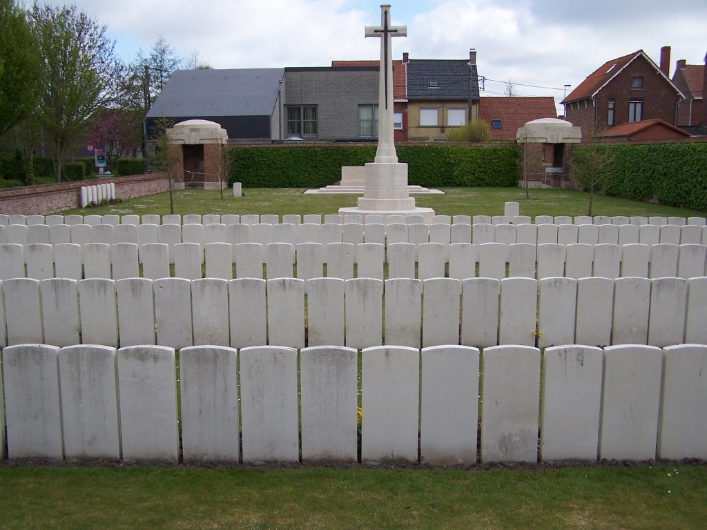
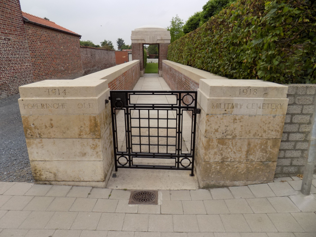
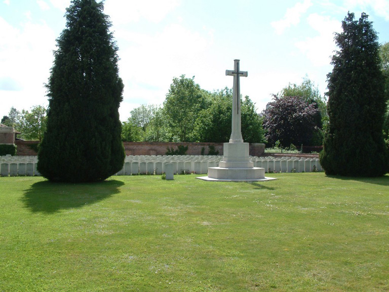
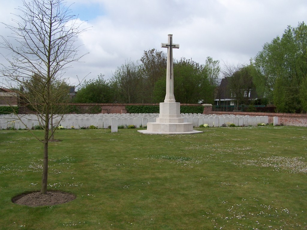
Poperinghe Old Military Cemetery
- Country Belgium
- Total identified casualties 430 Find these casualties
- Region West-Vlaanderen
- Identified casualties from First World War
- GPS Coordinates Latitude: 50.85077, Longitude: 2.72831
Restoration Works
We are currently carrying out necessary restoration works at this cemetery. Due to natural weathering and attaching creepers, we have seen damage to the brick masonry. As a consequence, the boundary walls, entrance and tool shed will be fully restored and/or reconstructed where necessary.
To preserve the integrity of the site, the natural stone is recycled and re-used as much as possible. Only quality materials, such as Boom bricks and lime mortars are used. The introduction of a non-invasive climbing plant will be introduced to avoid future damage to the walls.
This restoration is funded by the Commonwealth War Graves Commission with a premium from Flemish Government.
Find out more about the CWGC restoration philosophy here.
The works will be carried out by Bouw Bentein and managed by Buro 56 Architecten.
For more details please contact us at enquiries@cwgc.org.
PLEASE NOTE
As from May 2024 some graves will be temporarily inaccessible for the public due to restoration works on the nearby cemetery wall.

Please contact enquiries@cwgc.org for questions or feedback.
Location information
Poperinghe Old Military Cemetery is located 10.5 Kms west of Ieper town centre, in the town of Poperinge itself. From Ieper, Poperinge is reached via N308. From Ieper town centre the Poperingseweg (N308), is reached via Elverdingsestraat then directly over two small roundabouts in the J.Capronstraat. The Poperingseweg is a continuation of the J.Capronstraat and begins after a prominent railway level crossing. On reaching the town of Poperinge the left hand turning from the N308 leads onto the R33 Poperinge ring road. 1 Km along the N33 lies the right hand turning onto Deken De Bolan. The cemetery is located 200 metres from the ring road level with the junction with Polenlaan, on the right hand side of the road.
Visiting information
Wheelchair access is possible to the cemetery with some difficulty. For further information regarding wheelchair access, please contact our Enquiries Section on telephone number 01628 507200.
History information
The town of Poperinghe (now Poperinge) was of great importance during the First World War because, although occasionally bombed or bombarded at long range, it was the nearest place to Ypres (now Ieper) which was both considerable in size and reasonably safe. It was at first a centre for Casualty Clearing Stations, but by 1916 it became necessary to move these units further back and field ambulances took their places.
The earliest Commonwealth graves in the town are in the communal cemetery, which was used from October 1914 to March 1915. The Old Military Cemetery was made in the course of the First Battle of Ypres and was closed, so far as Commonwealth burials are concerned, at the beginning of May 1915. The New Military Cemetery was established in June 1915.
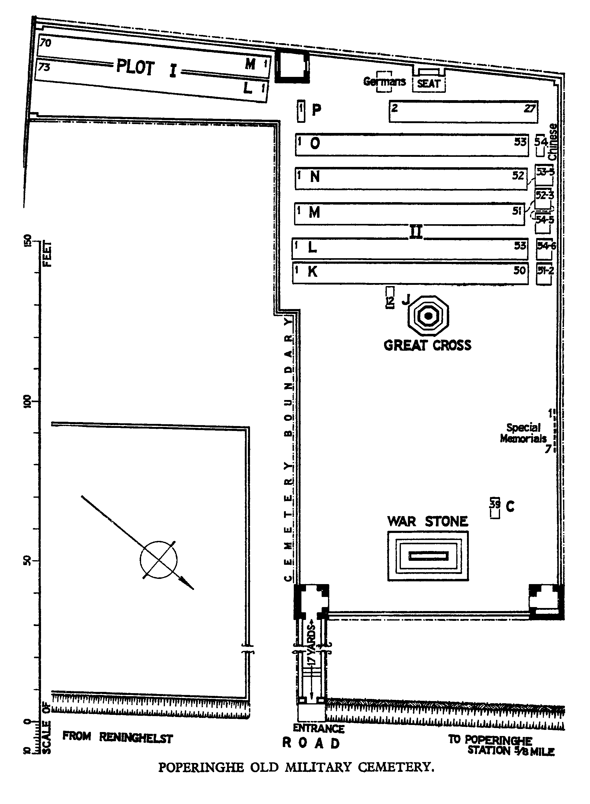
The Old Military Cemetery contains 450 Commonwealth burials and commemorations of the First World War. 24 of the burials are unidentified but there are special memorials to seven casualties known or believed to be buried among them.
The graves of about 800 French and Belgian soldiers and nearly 500 civilians were removed from the cemetery after the Armistice. For the most part, the civilians died in an epidemic of typhoid at the end of 1914, and were buried from an emergency hospital housed in a neighbouring chateau.
The cemetery was designed by Sir Reginald Blomfield.