Wielsbeke Communal Cemetery
- Country Belgium
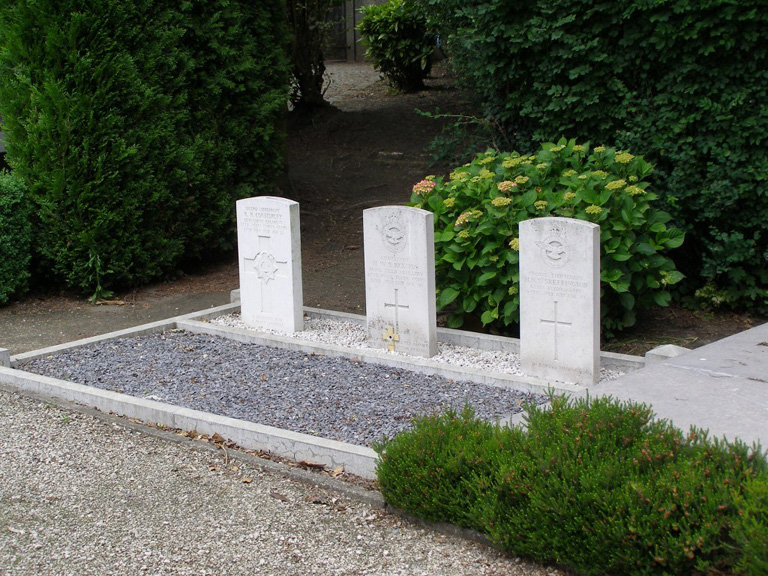
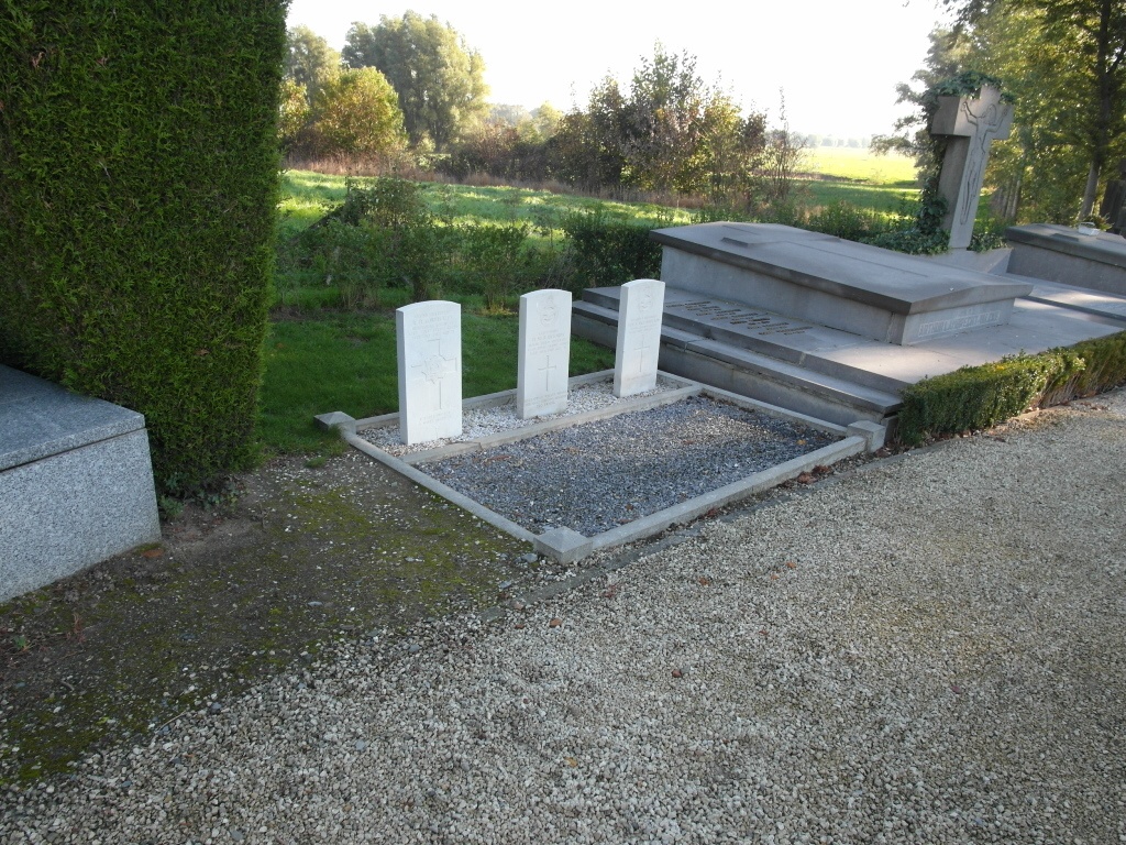
- Total identified casualties 3 Find these casualties
- Region West-Vlaanderen
- Identified casualties from First World War
- GPS Coordinates Latitude: 50.90524, Longitude: 3.37888
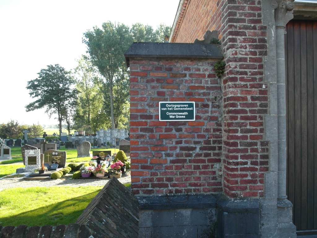
Location information
The village of Wielsbeke is located east of the town of Ingelmunster off the N357 road which runs between Roeselare (Roulers) and Waregem. Driving from Ingelmunster go through the village of Oostrozebeke and follow the N357 to Wielsbeke. Follow the N357 which becomes Rijksweg straight through the village until it bends sharp left. At the bend turn right into Stationstraat and then immediately left into Dertiende Liniestraat. The cemetery is on the left about 100m from the junction. To locate the war graves enter the cemetery through the left hand gate and follow the path for approximately 50 meters to where the graves will be found on the left hand side of the path.
History information
Wielsbeke Communal Cemetery contains three Commonwealth burials of the First World War.