Haynecourt British Cemetery
- Country France
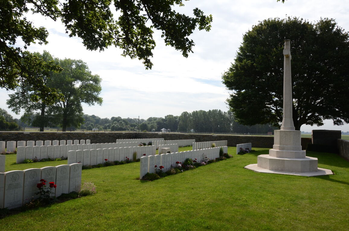
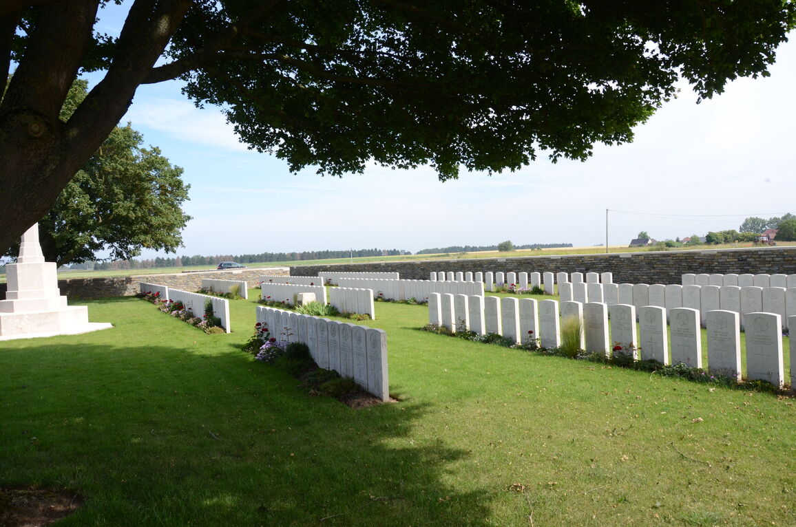
- Total identified casualties 282 Find these casualties
- Region Nord
- Identified casualties from First World War
- GPS Coordinates Latitude: 50.20914, Longitude: 3.15369
Location information
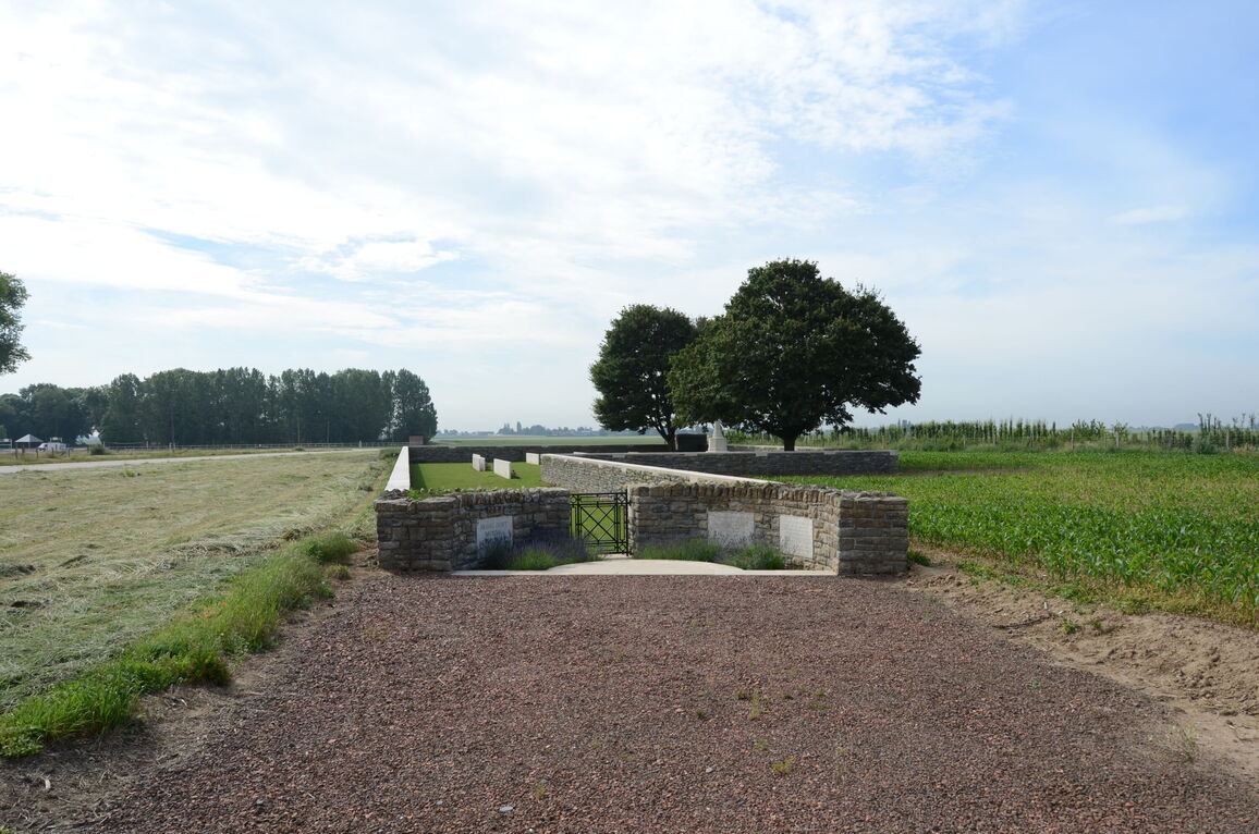
Haynecourt is a village in the Department of the Nord approximately 6 kilometres north-west of Cambrai and 1 kilometre north of the main Arras to Cambrai road (D939). On the D939 between the villages of Marquion and Raillencourt the Cemetery is signposted at the intersection of the D939 and the D16E Bourlon to Haynecourt road. Following signposts the road should be followed towards Haynecourt, then to the left after another 100 metres. This road leads into Haynecourt and the cemetery is to be found just outside the village.
Visiting information
Wheelchair access to the cemetery is possible with some difficulty. For further information regarding wheelchair access, please contact our Enquiries Section on telephone number 01628 507200.
History information
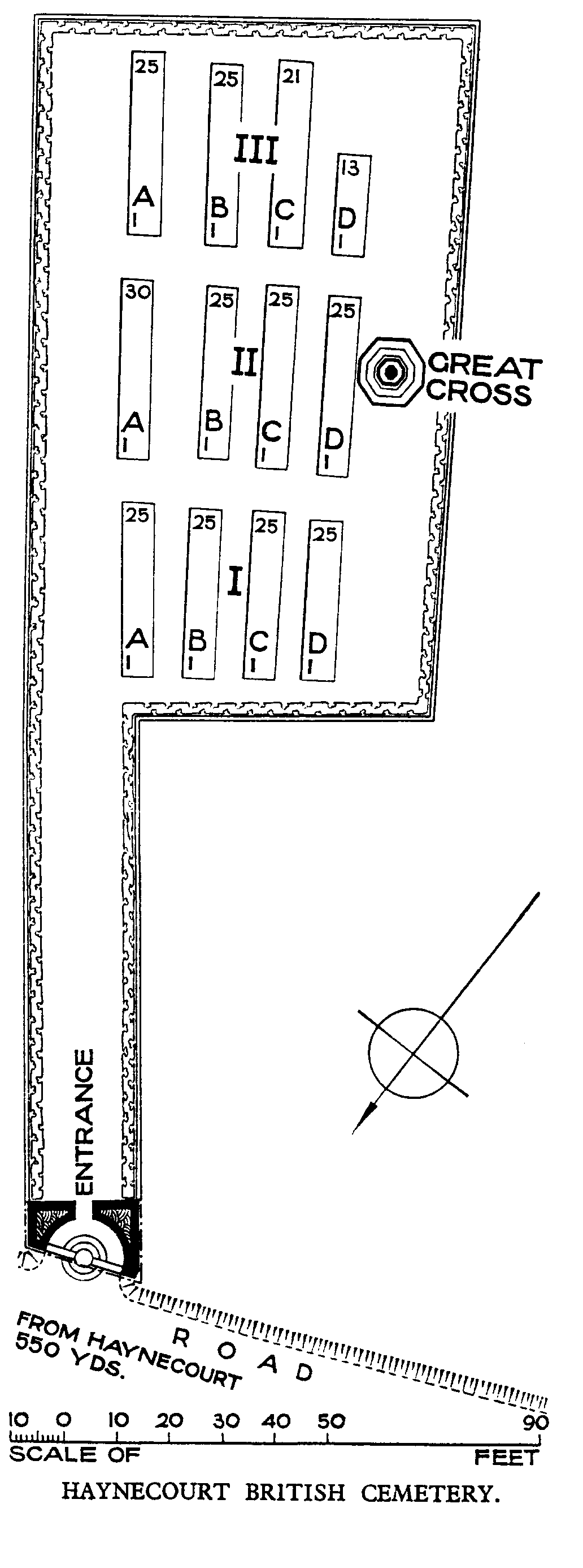
The Allied advance in the Battle of Cambrai in 1917 did not reach this district and it was not until September 1918 that the villages of Haynecourt, Sailly and Cantimpre fell into Allied hands. The "Marcoing Line," one of the German defence systems before Cambrai, ran from Marcoing northward through Sailly, to the west of Cantimpre and the east of Haynecourt. On 27 September 1918, the 1st Canadian and 11th Divisions took Haynecourt; and on the next day Sailly was taken. Two cemeteries were made by units which took part in the advance. Haynecourt British Cemetery contains 289 First World War burials, eight of them unidentified. The cemetery was designed by W H Cowlishaw.