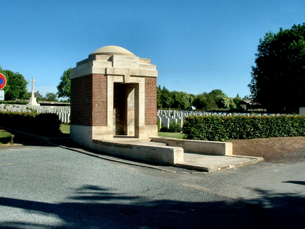
Roclincourt Military Cemetery
- Country France
- Total identified casualties 886 Find these casualties
- Region Pas de Calais
- Identified casualties from First World War
- GPS Coordinates Latitude: 50.32469, Longitude: 2.78525
Location information
Roclincourt is a village a little to the east of the road from Arras to Lens. Take the N17 from Arras until the junction of this road and the D60 (first CWGC sign here). Travel along the D60 into Roclincourt village, for approximately one kilometre, to a right turn (direction St Nicholas). Take this road for approximately 175 metres to a lane on the right. The cemetery lies 100 metres away at the foot of this lane.
History information
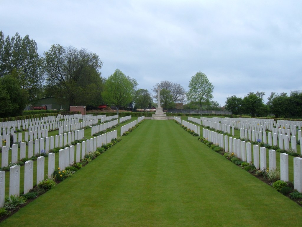
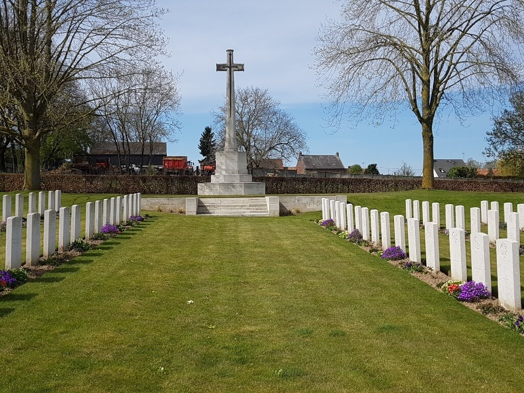
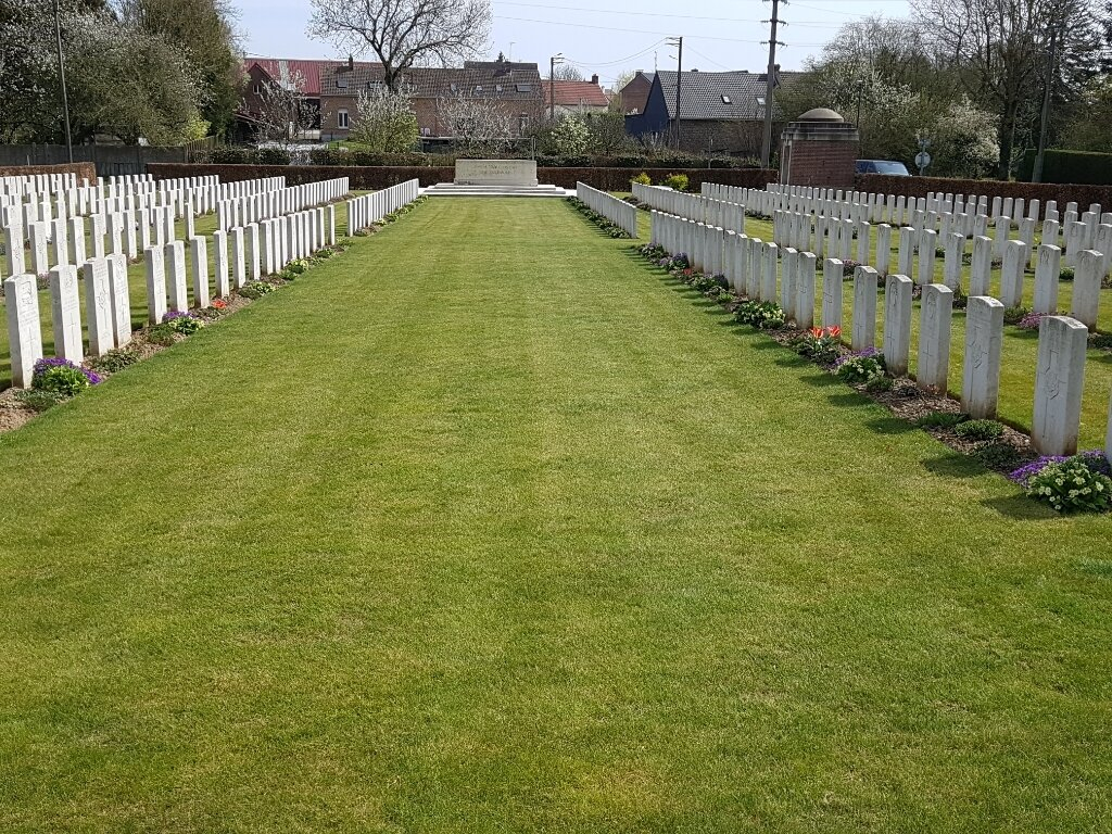
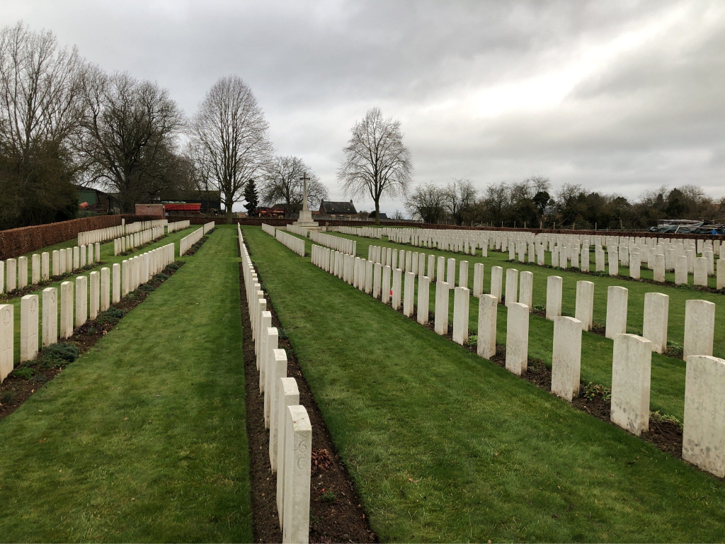
The French troops who held this front before March 1916 made a military cemetery (now removed), on the south-west side of which the present Commonwealth cemetery was made. It was begun by the 51st (Highland) and 34th Divisions in April 1917, and contains many graves of 9 April, the first day of the Battles of Arras. It continued in use, as a front-line cemetery, until October 1918 and after the Armistice graves, mostly from the battlefield north of Roclincourt, were brought into Plot IV, Row F. Roclincourt Military Cemetery contains 916 Commonwealth burials of the First World War, 32 of them unidentified. There are also four German war graves. The cemetery was designed by Sir Reginald Blomfield. Originally, the cemetery contained a wooden memorial erected by the 22nd Royal Fusiliers to one officer and 27 N.C.O.'s and men who fell in action at Oppy in April and May 1917.