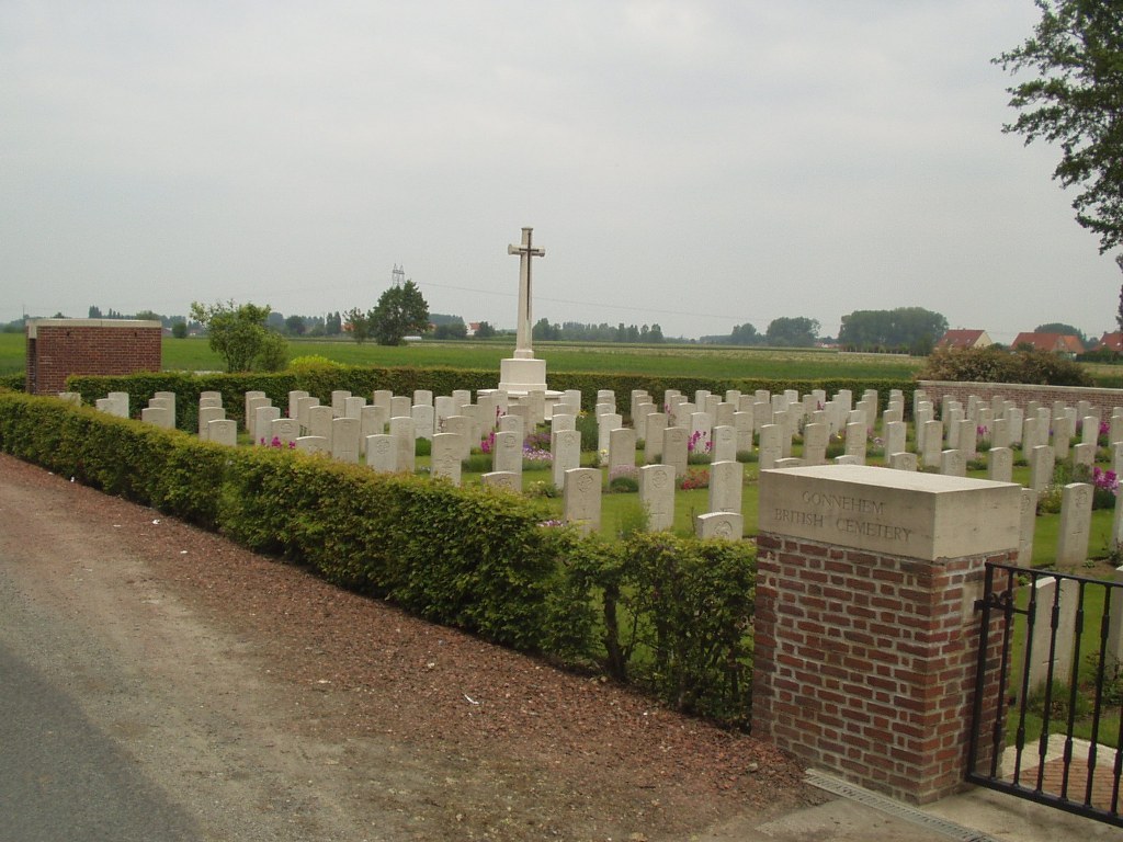
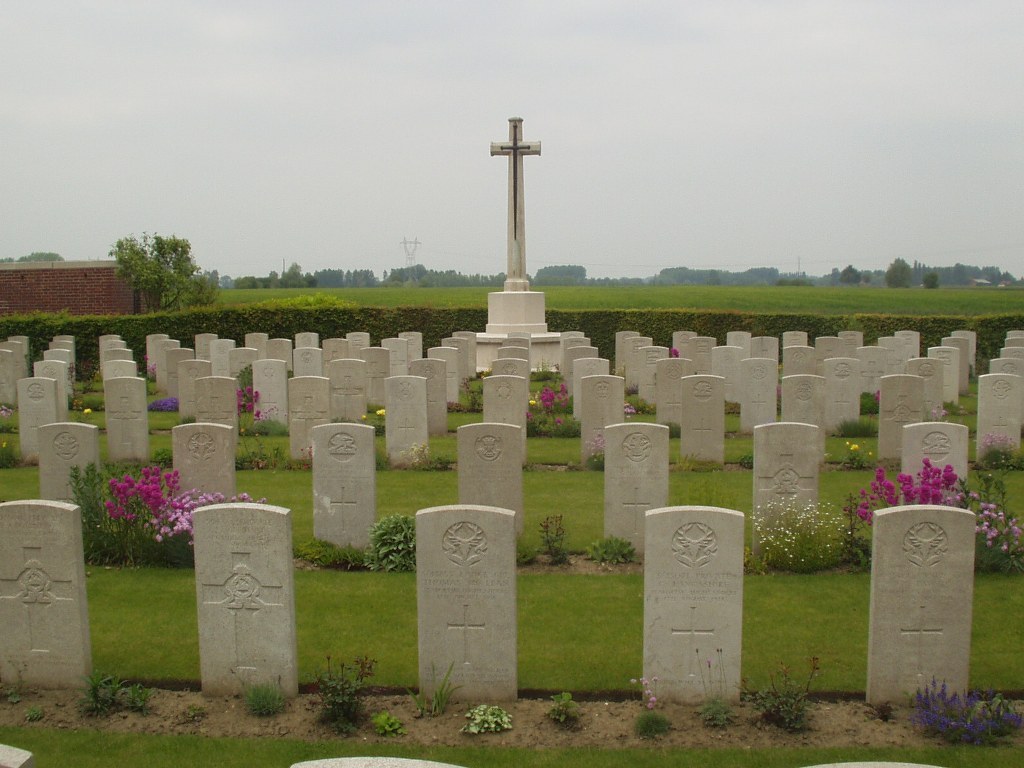
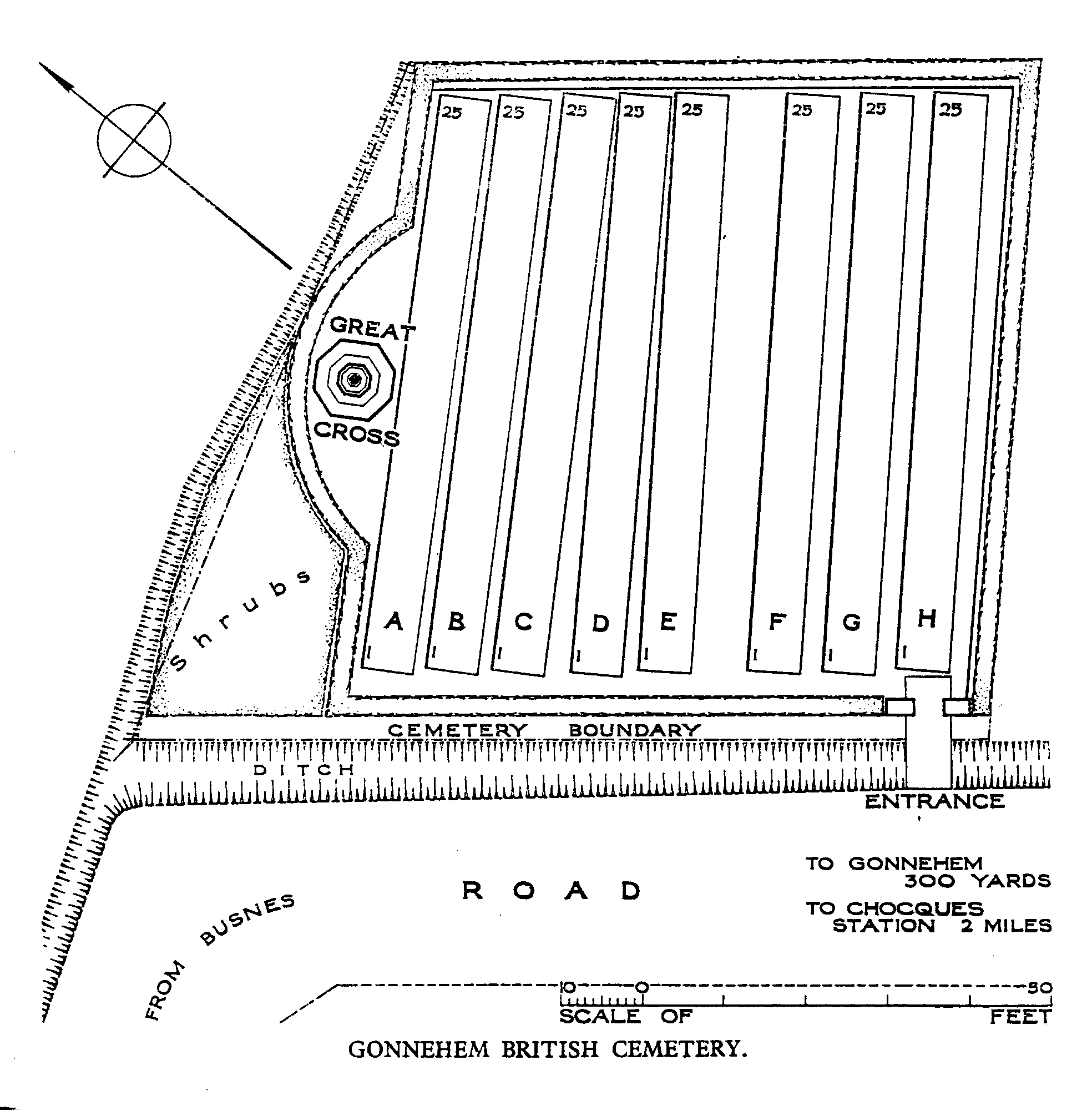
Gonnehem British Cemetery
- Country France
- Total identified casualties 198 Find these casualties
- Region Pas de Calais
- Identified casualties from First World War
- GPS Coordinates Latitude: 50.56271, Longitude: 2.56955
Location information
Gonnehem is a village about 7 kilometres north-west of Bethune and 7 kilometres east of Lillers. From the centre of the village take the D.182 road towards Lillers. The cemetery is 500 metres along this road on the right hand side.
Download Cemetery Plan
History information
The cemetery was begun in the middle of April 1918, when the German front line came within 3.2 kilometres of the village. It was made by fighting units and by the burial officers of the XIII Corps and the 4th Division, and used until September. After the Armistice graves were brought into Row H from the battlefields east of Gonnehem. Gonnehem British Cemetery contains 200 First World War burials. The cemetery was designed by W H Cowlishaw.