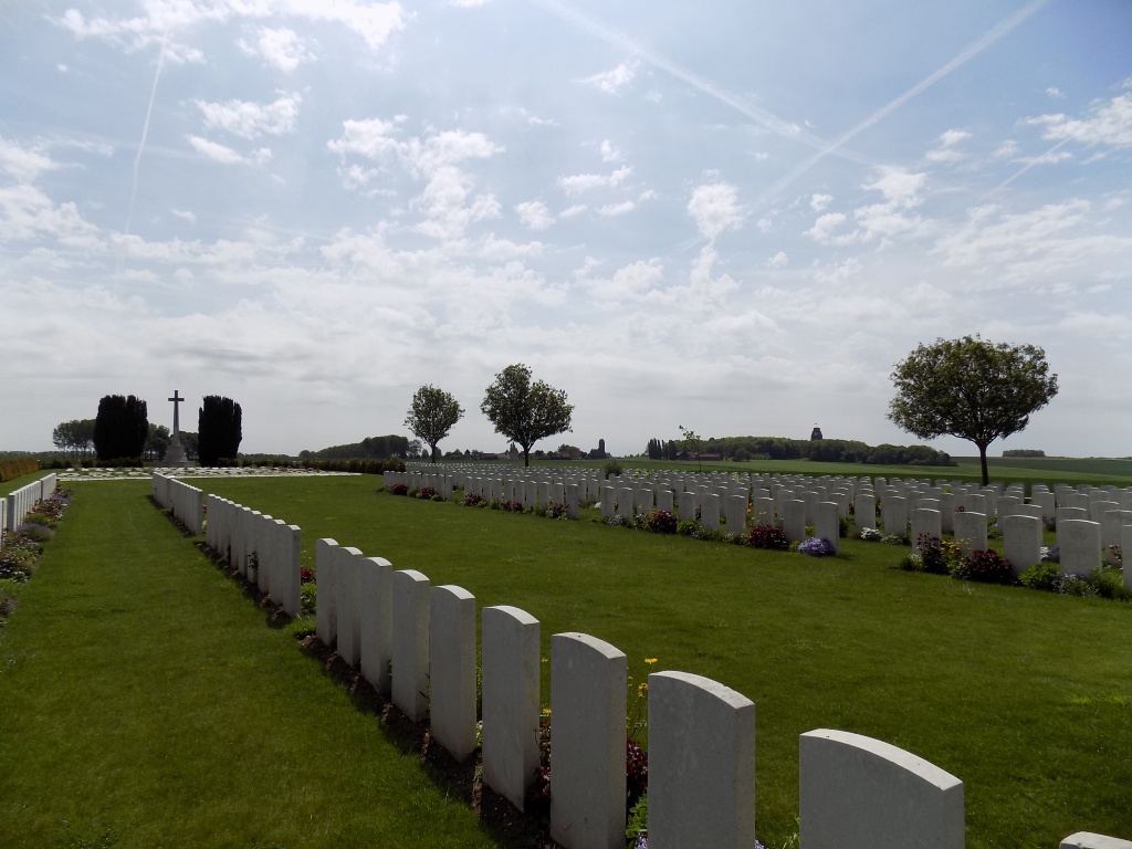
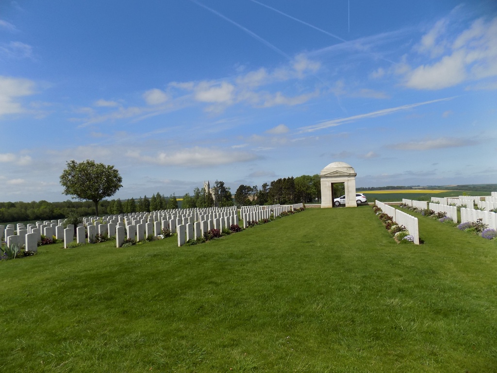
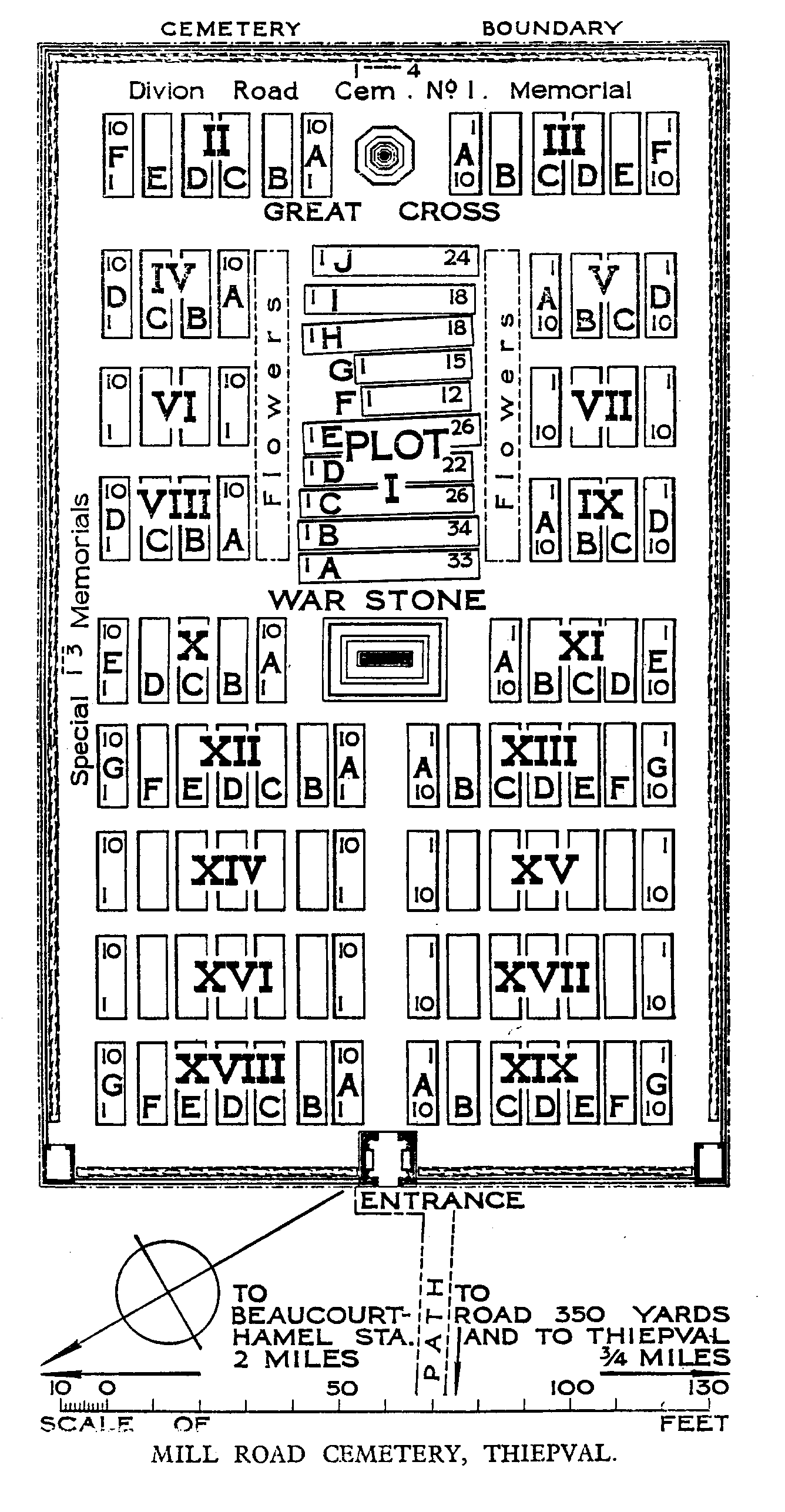
Mill Road Cemetery, Thiepval
- Country France
- Total identified casualties 489 Find these casualties
- Region Somme
- Identified casualties from First World War
- GPS Coordinates Latitude: 50.06119, Longitude: 2.68315
Location information
Thiepval is a village on the D151 road about 8 kilometres north of the town of Albert. The Cemetery (signposted at Thiepval) is about 1kilometre north-west of the village on the north side of the D73 road to Hamel. Access to the cemetery, 500 metres from the road, is by a track (suitable for cars).
Visiting information
Please note the headstones in plot 1 were laid flat in this site in the early 1950s because this site was subject to subsidence between the wars (as a result of it being sited above a dug-out). In addition, the Stone of Remembrance was also removed.
History information
The German Army took the area around Thiepval at the end of September 1914. It then established a line through the area with troops from its 26th Reserve Division. Men from this Division were still in occupation when Commonwealth forces launched their assault on the 1 July 1916. During this attack, the 36th (Ulster) Division were detailed to attack the German positions north of Thiepval, known as the Hansa Line and the Schwaben Redoubt. Launched from Thiepval Wood, initially their assault was successful and some leading elements even reached as far as the German's second line of defence (Stuff Redoubt). However, by the end of the day, as a result of the units on either side of it failing to take their objectives (in particular the 32nd Division's failure to take Thiepval), it had been forced back to the original German front line. It would take until the 26 September 1916, before Thiepval finally fell to the 18th Division. Thiepval then remained under Allied occupation until 25 March 1918, when it was lost during the great German offensive, but it was retaken on the following 24 August by the 17th and 38th (Welsh) Divisions.
Mill Road Cemetery (called at one time Mill Road Cemetery No.2) was made during the spring of 1917, when the German withdrawal to the Hindenburg line allowed the battlefield of 1916 to be cleared. At the Armistice, it contained 260 burials, but was then greatly enlarged when graves were brought in from the battlefields of Beaumont-Hamel and Thiepval and from the following smaller cemeteries:-
DIVION ROAD CEMETERY, No.1, 400 metres south of St. Pierre-Divion, contained the graves of 29 soldiers who fell in July and September 1916.
DIVION ROAD CEMETERY, No.3 (No.2 was concentrated to Connaught Cemetery), close to No.1, contained the graves of 44 soldiers who fell in September and October 1916.
MILL ROAD CEMETERY, No.1, close to the present Mill Road Cemetery. It contained the graves of 39 soldiers who fell in September 1916.
ST. PIERRE-DIVION CEMETERY, No.2 (No.1 was concentrated to Connaught Cemetery), on the more northerly road from St. Pierre-Divion to Thiepval, contained the graves of 28 soldiers who fell in September-November 1916.
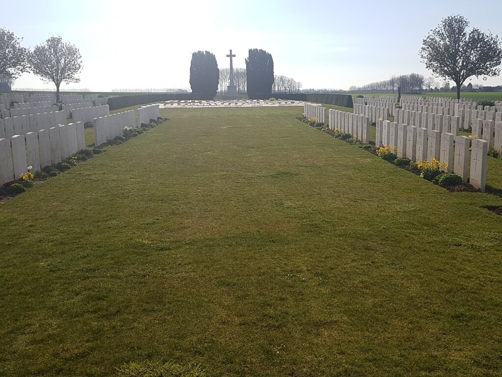
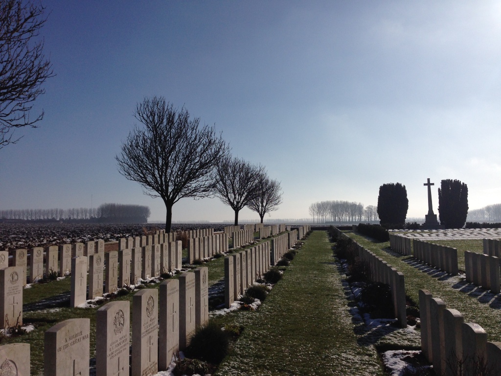
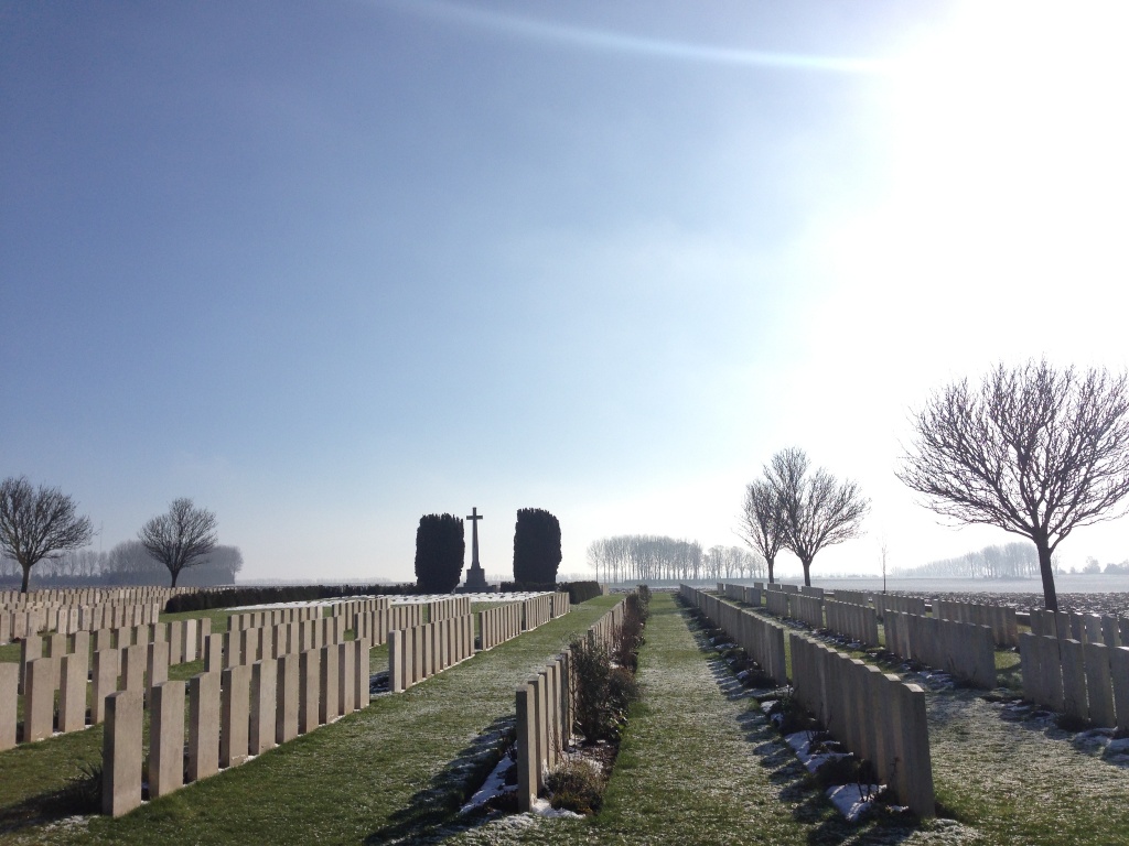
There are now 1,304 Commonwealth servicemen of the First World War buried or commemorated in the cemetery. 815 of the burials are unidentified but there are special memorials to three casualties believed to be buried among them and three others buried in Divion Road Cemetery No.1, whose graves were destroyed by shell fire.
The cemetery was designed by Sir Herbert Baker.