De Cusine Ravine British Cemetery, Basseux
- Country France
- Total identified casualties 68 Find these casualties
- Region Pas de Calais
- Identified casualties from First World War
- GPS Coordinates Latitude: 50.21931, Longitude: 2.65312
Location information
Basseux is a village in the Department of the Pas-de-Calais, 12 kilometres south-west of Arras. The cemetery is reached by taking the N25, Arras to Doullens main road, as far as Beaumetz les Loges. Turn onto the D1 towards Basseux and follow the CWGC signs from the centre of the village. Follow the signs down a rural track which degenerates into a grassy path, which is unsuitable for cars when wet. The last 300 metres of path has to be negotiated on foot and is difficult underfoot.
History information
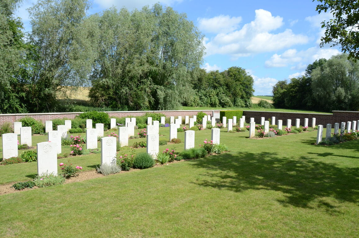
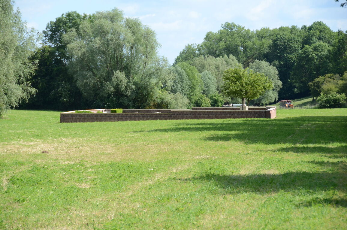
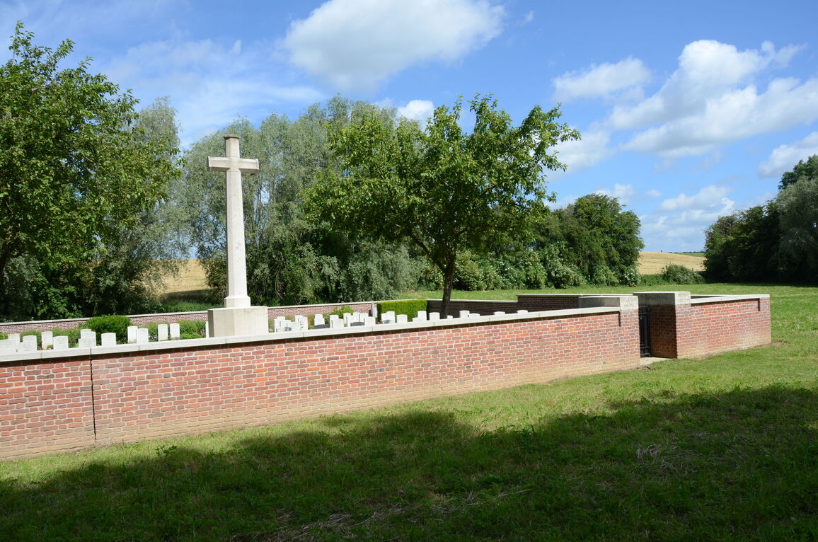
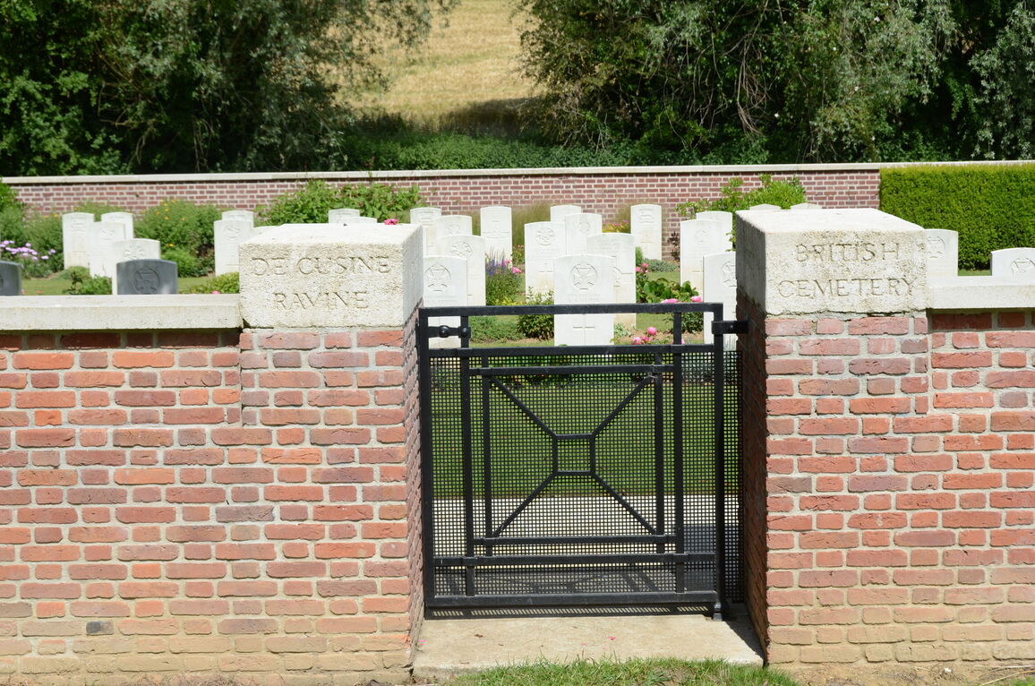
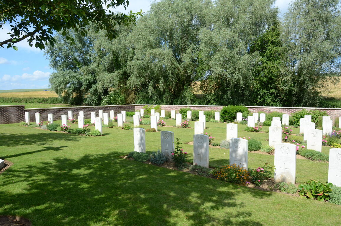
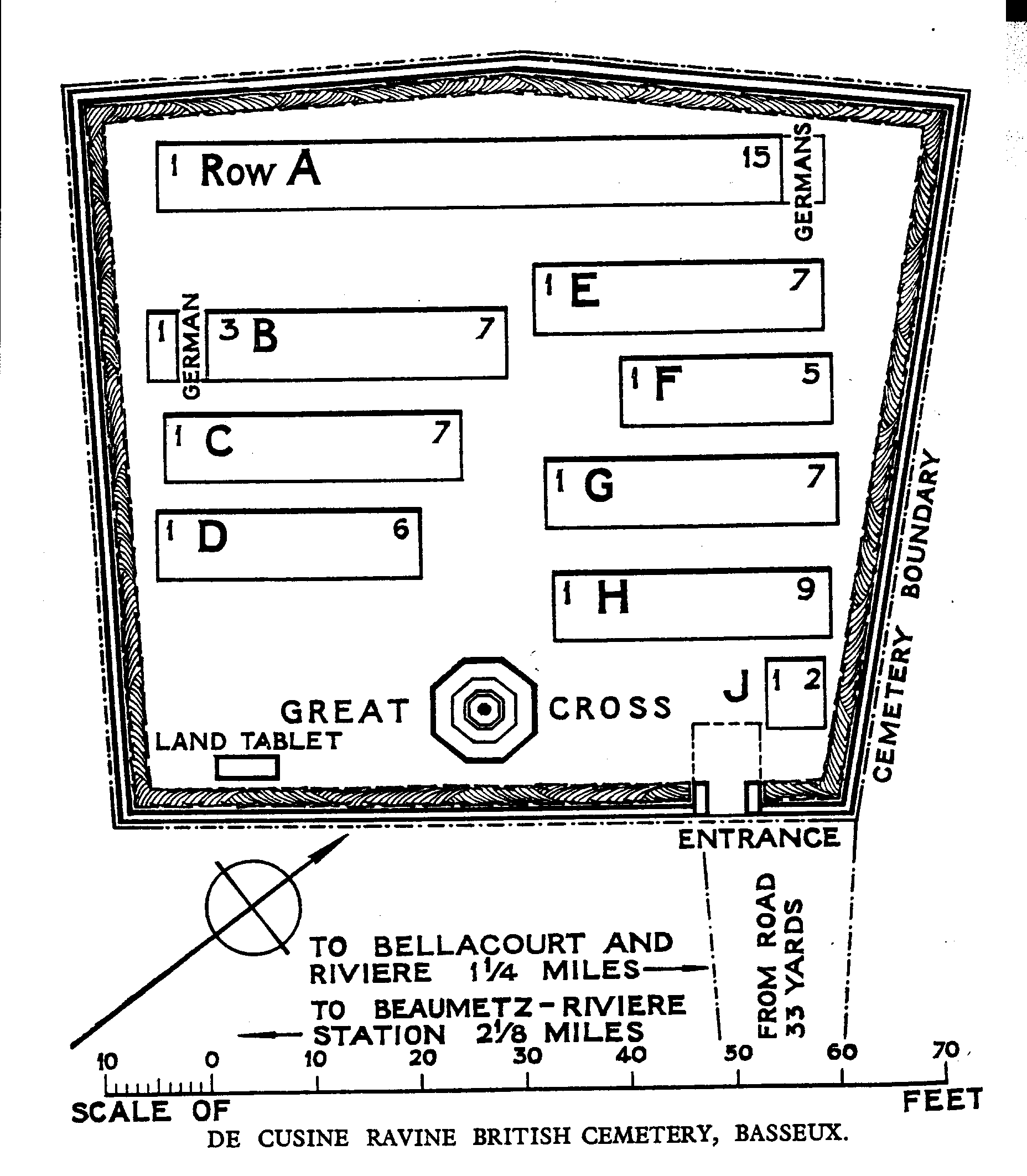
800 metres South East of the village is a ravine called the Fosse de Berles, but known to the French troops (who had a field kitchen there) as the Ravin des Cusines; and on the further side of the ravine is the British Cemetery bearing a modified form of the French Army name. A French Military Cemetery close to it, also named from the ravine, has now been removed. The cemetery was begun by the 13th King's Royal Rifles in February, 1916, and used by units holding this front until March, 1917; one further burial took place in September, 1917. There are now over 60, 1914-18 war casualties commemorated in this site. Two brothers are buried in Row C, graves 6 and 7. The cemetery covers an area of 615 square metres and is enclosed by a red brick wall.