Cherisy Road East Cemetery, Heninel
- Country France
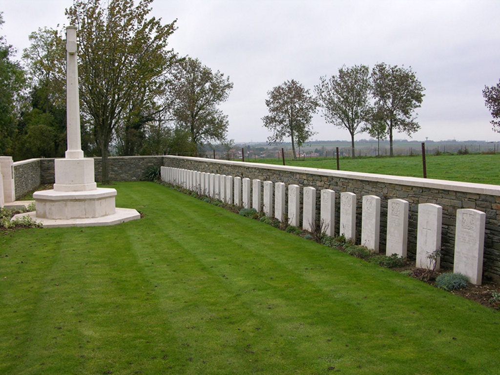
- Total identified casualties 63 Find these casualties
- Region Pas de Calais
- Identified casualties from First World War
- GPS Coordinates Latitude: 50.23737, Longitude: 2.87642
Location information
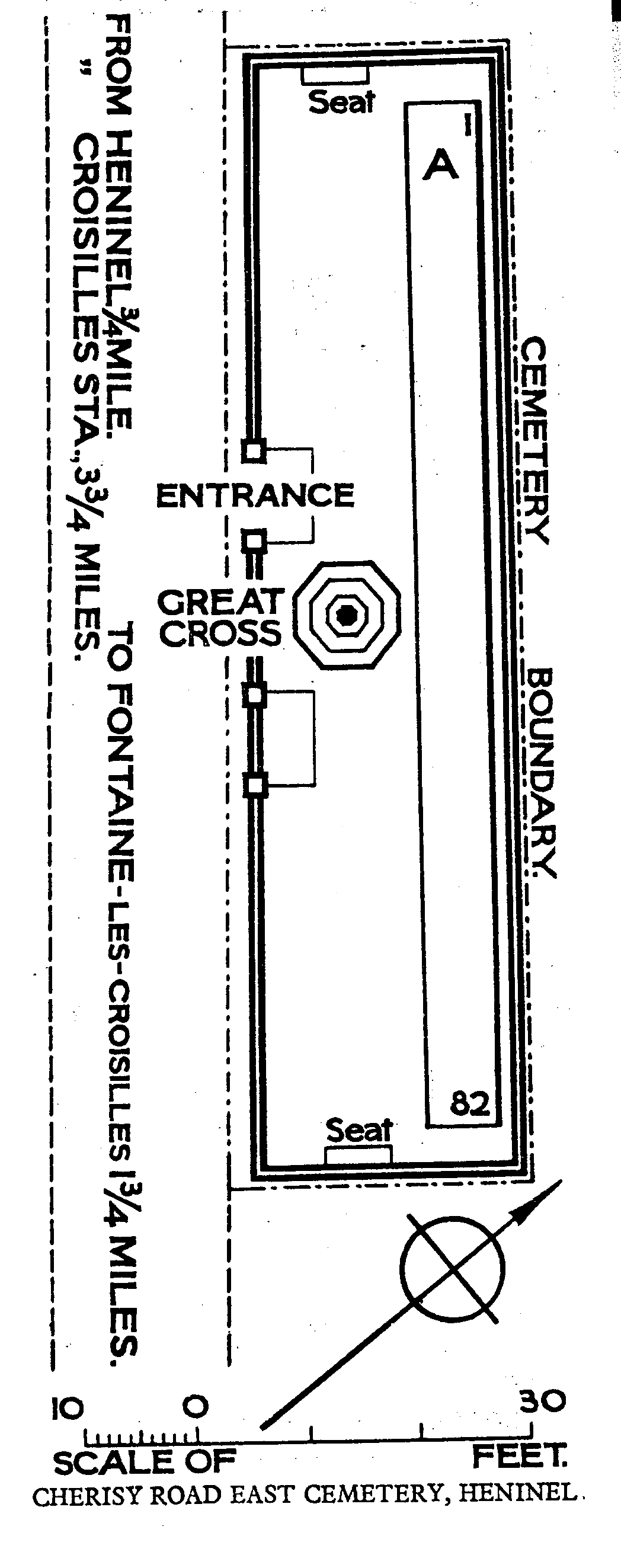
Cherisy Road East Cemetery is east of the village of Heninel, between the roads to Cherisy and Fontaine-les-Croisilles. The village of Heninel will be found on the D33 road, Boisleux St Marc to Wancourt. From Rue de Wancourt, turn right on to Rue de St Germain, then left at fork, and Cherisy Road East Cemetery is sited 800 metres further on, just after a right fork on the road to Cherisy. A CWGC signpost will be seen.
Visiting information
Wheelchair access to site possible - maybe by alternative entrance. For further information regarding wheelchair access, please contact our enquiries dept. on 01628 634221.
History information
The village of Heninel was captured in a snowstorm on 12 April 1917 by the 56th (London) and 21st Division. The 50th (Northumbrian) Division, advancing from Heninel on the two following days, captured Wancourt Tower. Cherisy Road East Cemetery was made by the 30th and 33rd Division Burial Officers in April 1917. The cemetery contains 82 First World War burials, 19 of which are unidentified.