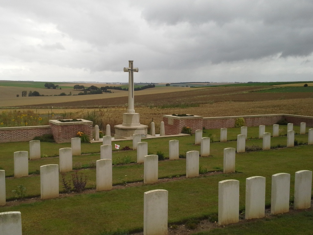
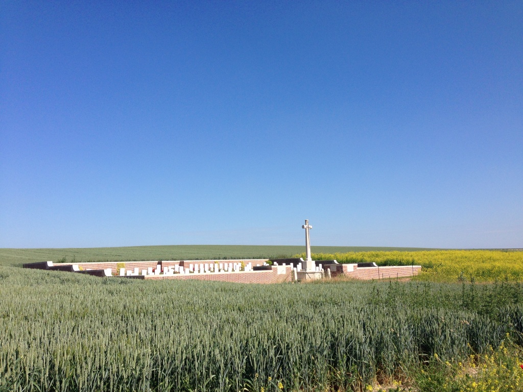
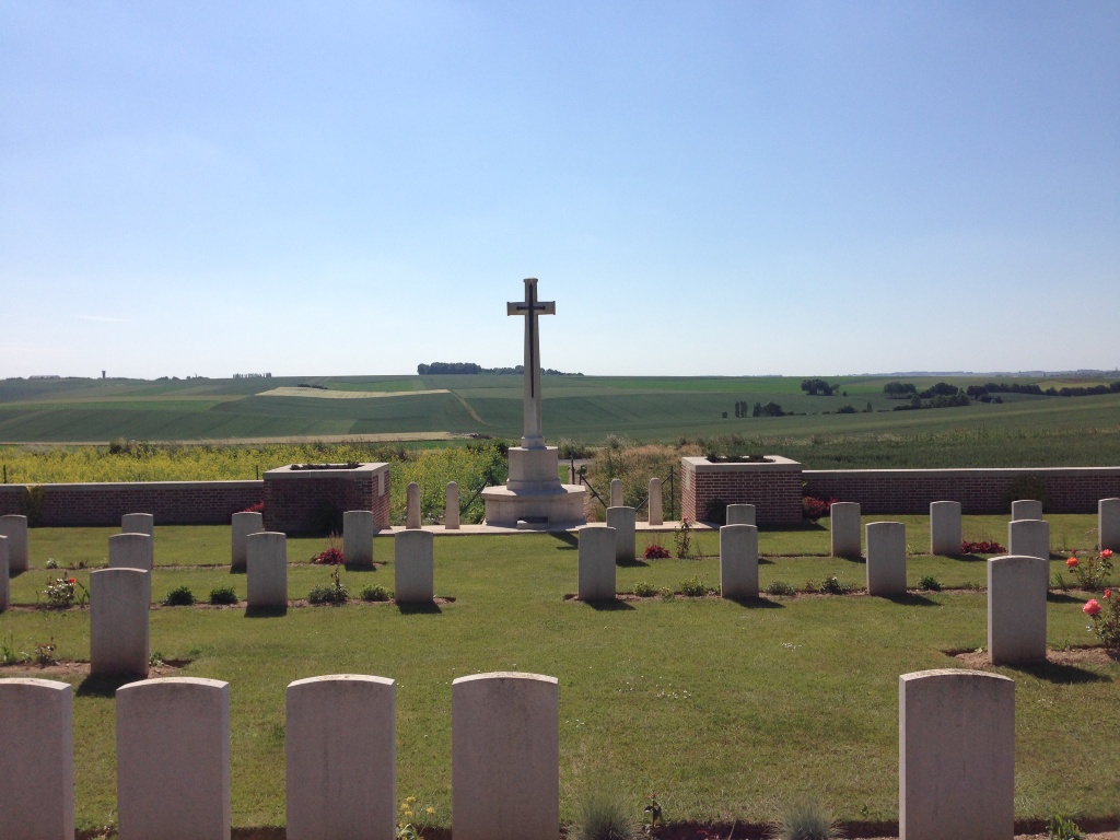
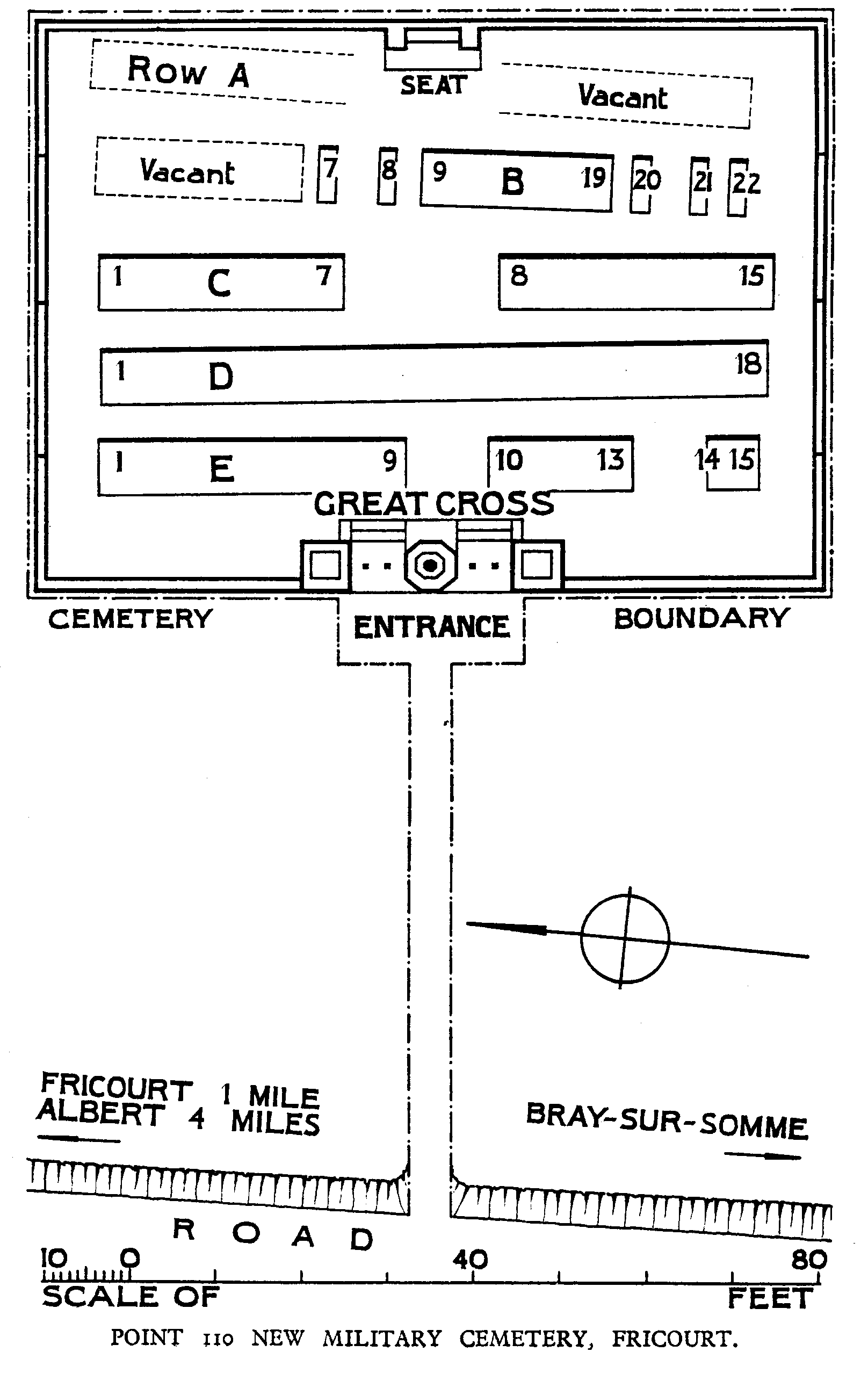
Point 110 New Military Cemetery, Fricourt
- Country France
- Total identified casualties 64 Find these casualties
- Region Somme
- Identified casualties from First World War
- GPS Coordinates Latitude: 49.98424, Longitude: 2.71924
Location information
Fricourt is a village in the Department of the Somme 5 kilometres east of Albert. The Cemetery is about 1 kilometre south of Fricourt on a track running between the roads from Fricourt and Mametz to Bray. Both the new and the old cemeteries are near the side of the track, the old being 230 metres north of the new.
Visiting information
Access to the cemetery is along a rough track which may be difficult under bad weather conditions. The track starts in tarmac and finishes with gravel, so it is possible to access the cemetery by car if you drive slowly and care is taken. Wheelchair access to site possible, but may be by alternative entrance. For further information regarding wheelchair access, please contact our Enquiries Section on 01628 507200.
History information
Fricourt village was captured by the 17th Division on 2 July 1916 but the southern part of the commune, in which this cemetery is situated, was already in Allied hands. Point 110 New Military Cemetery was begun by the 403rd French Infantry Regiment in May-July 1915 and continued by Commonwealth units in February-July 1916. The cemetery was named from the contour on the map; before September 1916 it was called King George's Hill. The cemetery contains 64 Commonwealth burials of the First World War. The 26 French and two German graves were later removed to other burial grounds.