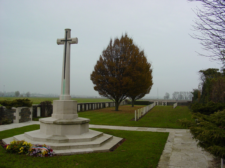
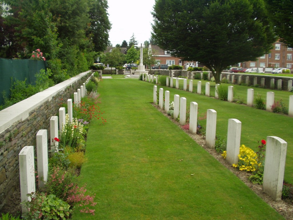
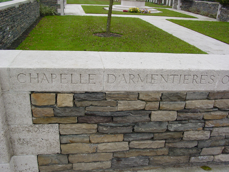
Chapelle-D'armentieres Old Military Cemetery
- Country France
- Total identified casualties 101 Find these casualties
- Region Nord
- Identified casualties from First World War
- GPS Coordinates Latitude: 50.67082, Longitude: 2.90214
Location information
La Chapelle-d'Armentieres is a village 1.5 kilometres to the west of Armentieres, a large town in the north of France. From the Mairie in La Chapelle-d'Armentieres turn left onto the main road. The Old Military Cemetery will be found 500 metres along on the left.
Visiting information
The location or design of this site makes wheelchair access difficult. For further information regarding wheelchair access, please contact enquiries@cwgc.org or call 01628 507200.
History information
The village of La Chapelle-d'Armentieres was in the hands of Commonwealth forces from October 1914 until the fall of Armentieres on 10 April 1918. It was retaken in the following October. During the Allied occupation, the village was very close to the front line and its cemeteries were made by fighting units and field ambulances in the earlier days of trench warfare. Chapelle-d'Armentieres Old Military Cemetery was begun in October 1914 by units of the 6th Division and used until October 1915.
The cemetery contains 103 First World War burials three of them unidentified.
The cemetery was designed by W H Cowlishaw.