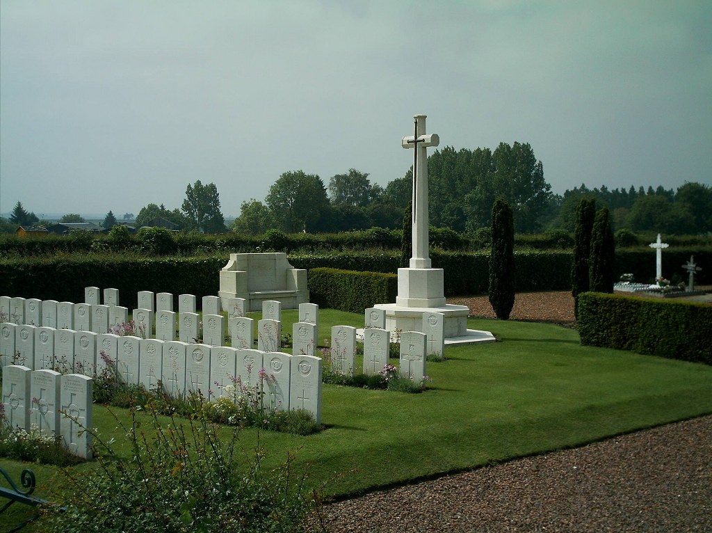
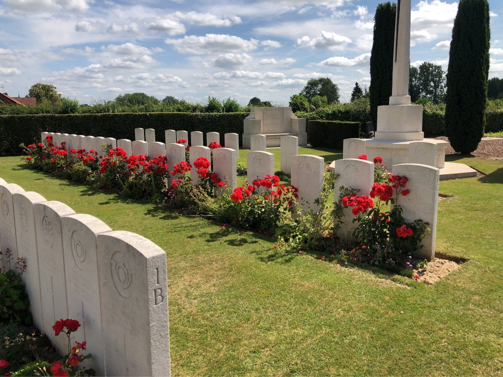
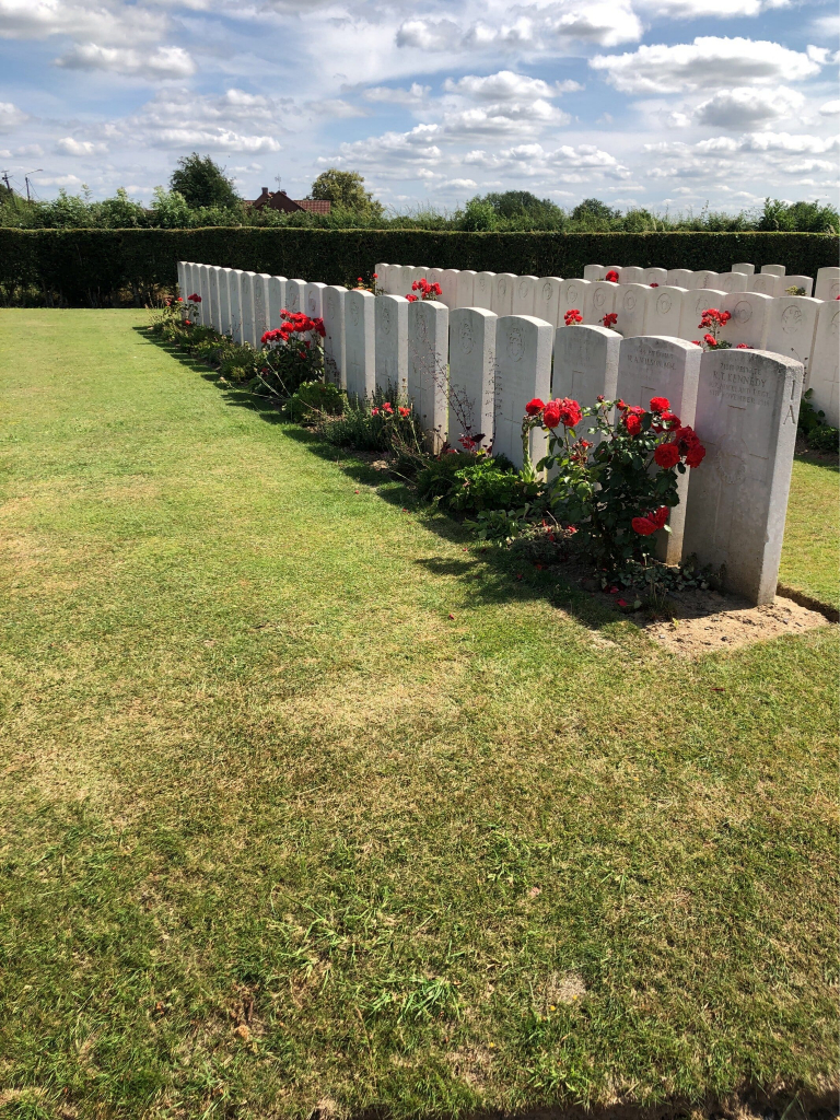
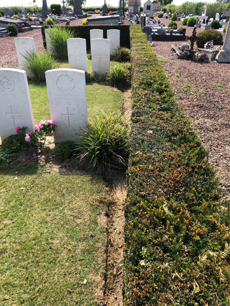
Ruesnes Communal Cemetery
- Country France
- Total identified casualties 85 Find these casualties
- Region Nord
- Identified casualties from First World War
- GPS Coordinates Latitude: 50.26169, Longitude: 3.58237
Location information
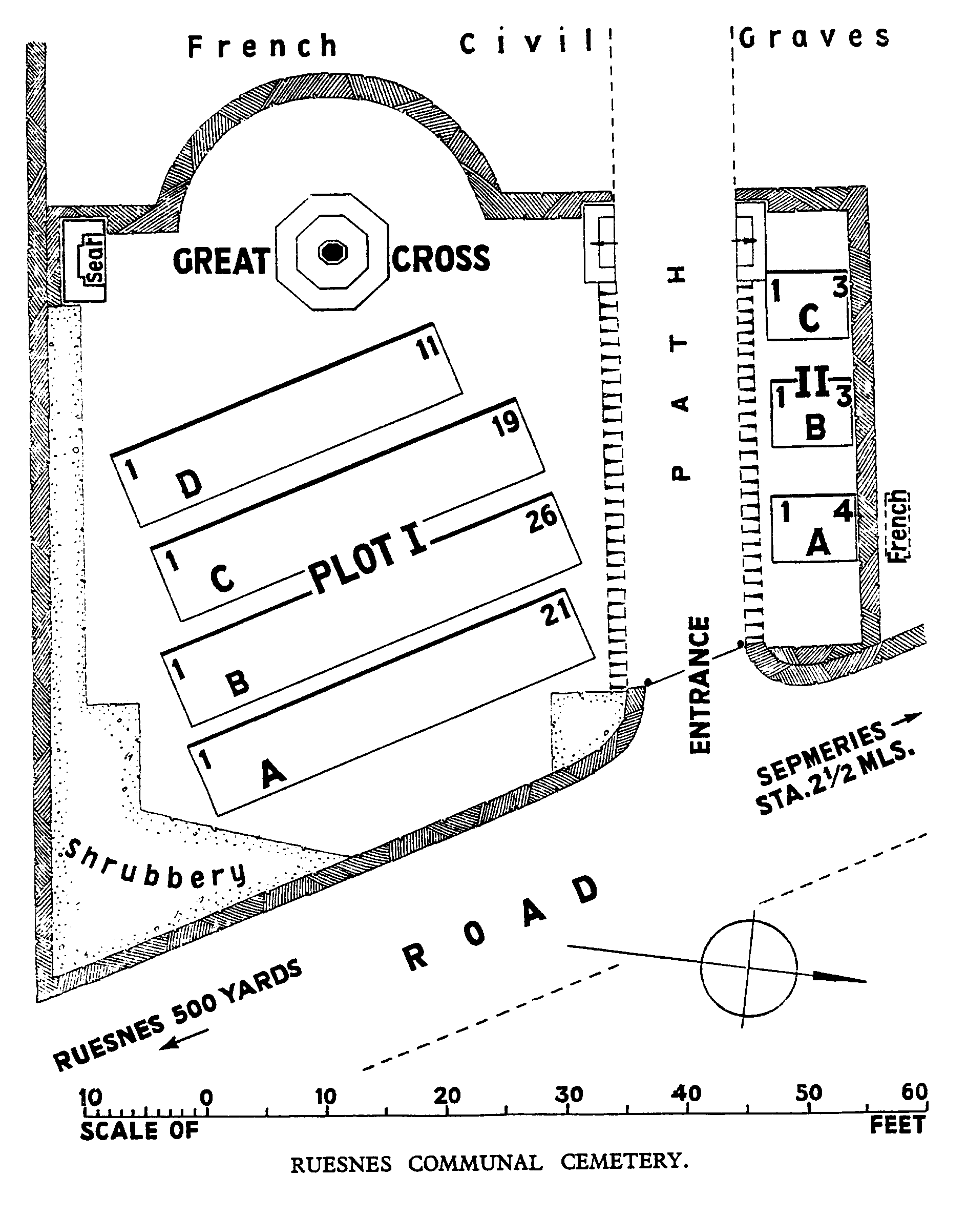
Ruesnes is a village approximately 4 kilometres north-west of Le Quesnoy, Ruesnes Communal Cemetery lies to the north-west of the village on the road to Sepmeries.
Download Cemetery Plan
History information
Ruesnes was occupied by the 3rd Division on the 24th October, 1918. The Commonwealth plots were made by the 62nd (West Riding) Division, and contain the graves of soldiers who fell in November, 1918. There are now over 80, 1914-18 war casualties commemorated in this site. The plots cover an area of 378 square metres.