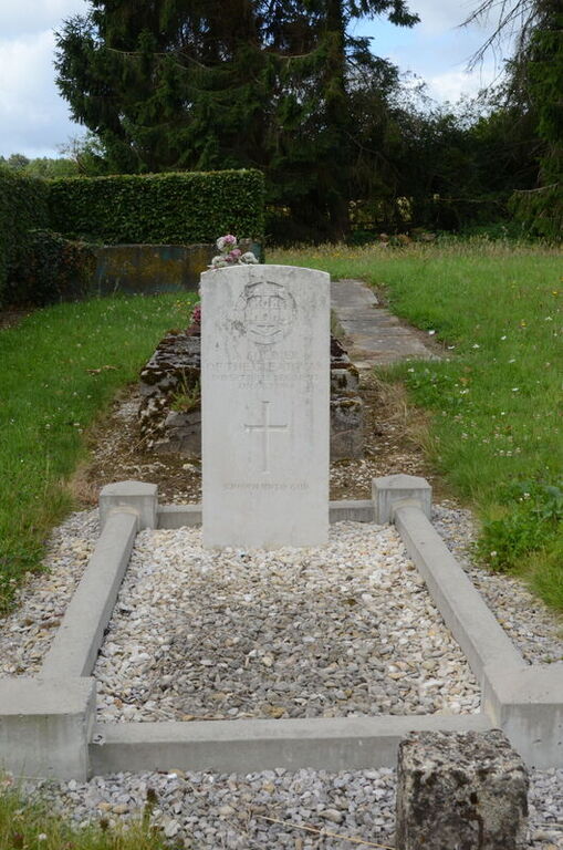
Locquignol Communal Cemetery
- Country France
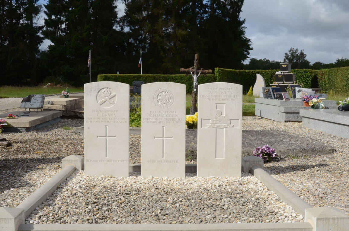
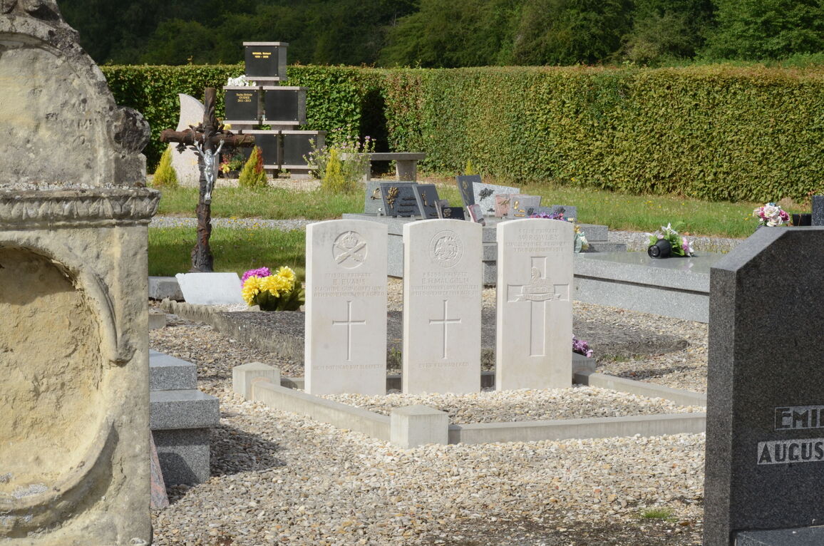
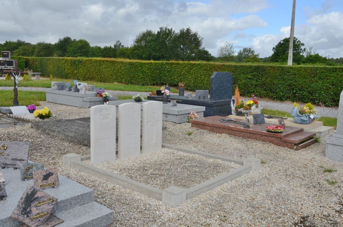
- Total identified casualties 3 Find these casualties
- Region Nord
- Identified casualties from First World War
- GPS Coordinates Latitude: 50.19952, Longitude: 3.71407
Location information
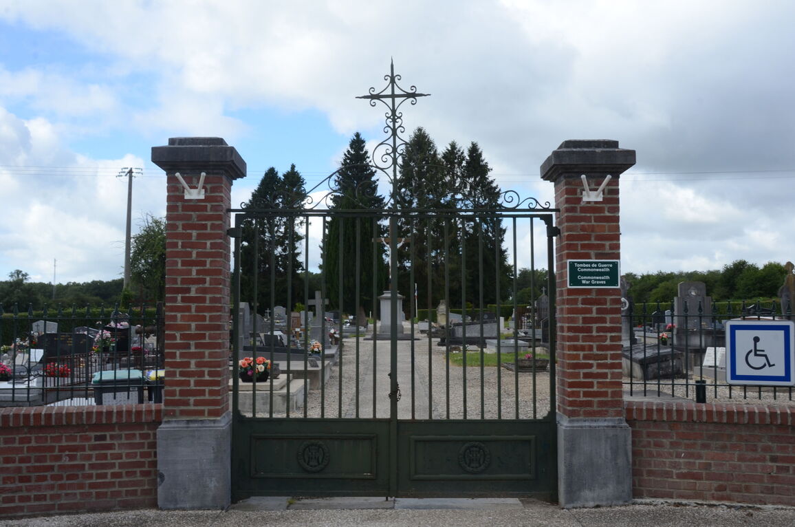
Locquignol is a very small village in the Nord Department of France. It is directly east of Cambrai, south-east of Valenciennes and south-west of Mons. If approaching from Cambrai, take the N43 for Charleville-Mezieres. After approximately 20 kilometres turn left along the D932 towards Bavay and Mons. After another 16 kilometres, turn right along the D33 towards Berlaimont. 5 kilometres further on Locquignol will be reached. Three of the war graves in the Communal Cemetery can be found on the right hand side of the main path, the other will be found to the left hand side towards the rear of the cemetery.
History information
Locquignol Communal Cemetery contains four Commonwealth burials of the First World War, one of which is unidentified.