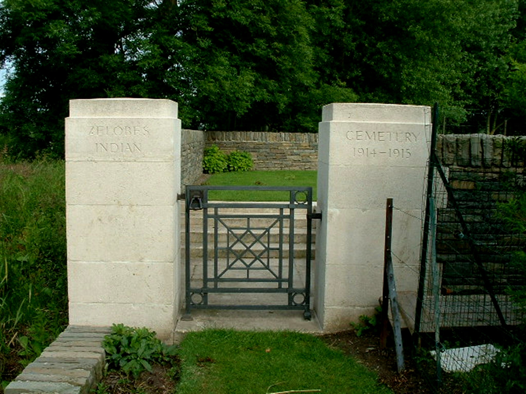
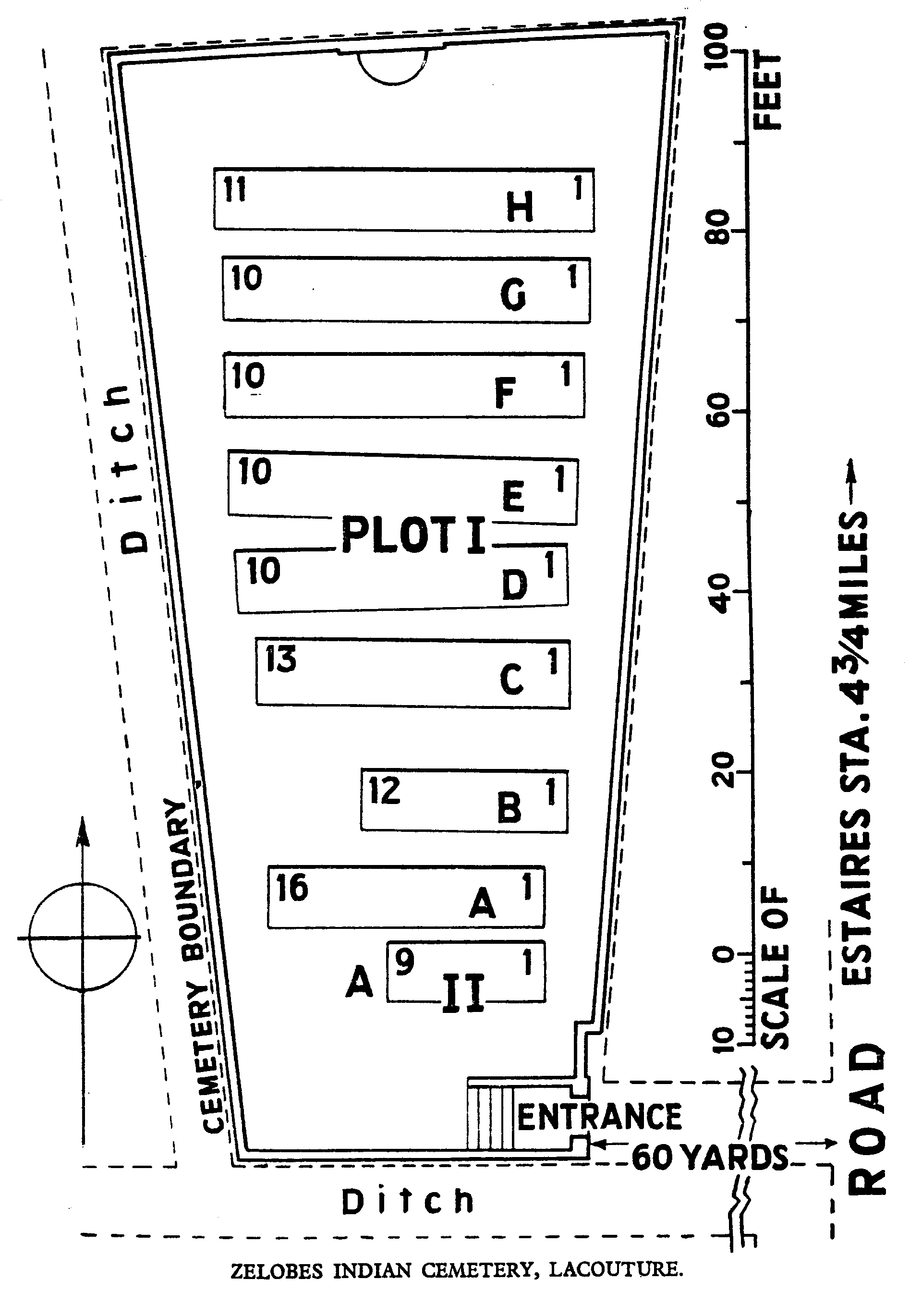
Zelobes Indian Cemetery, Lacouture
- Country France
- Total identified casualties 73 Find these casualties
- Region Pas de Calais
- Identified casualties from First World War
- GPS Coordinates Latitude: 50.59319, Longitude: 2.68529
Location information
La Couture is a village and commune in the department of Pas-de-Calais between Bethune and Estaires, and Zelobes is a hamlet in the north-west on the Bethune-Estaires main road (N945). The cemetery is well signposted from the village.
Visiting information
The location or design of this site makes wheelchair access impossible. For further information regarding wheelchair access, please contact our enquiries department on 01628 634221.
History information
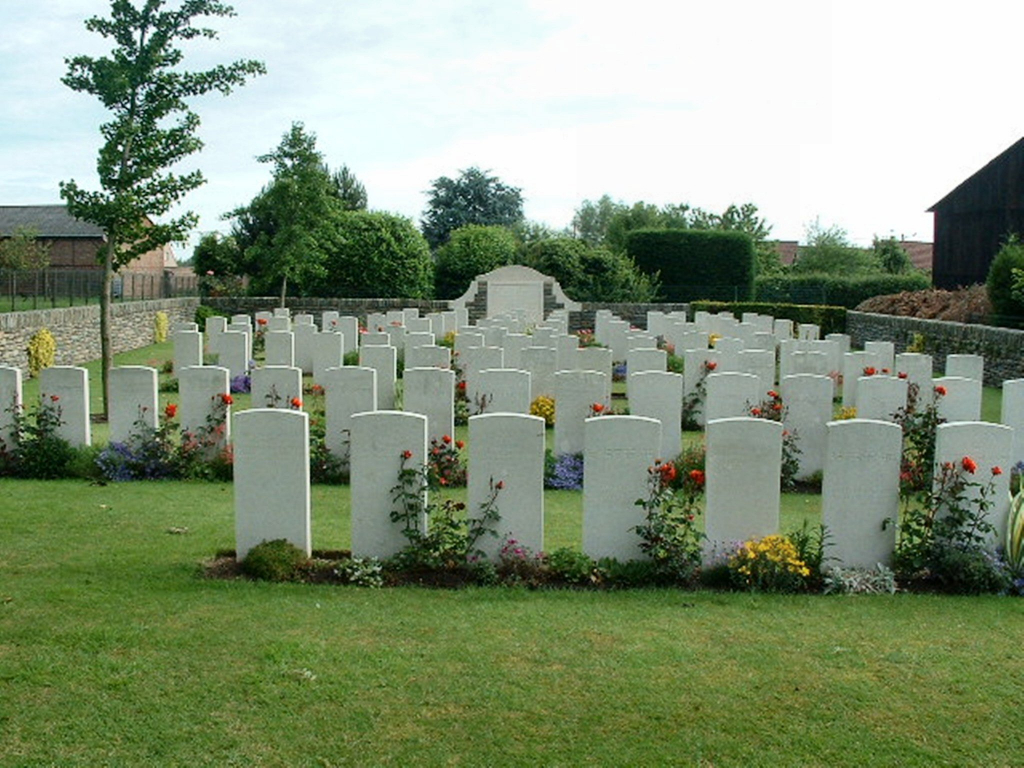
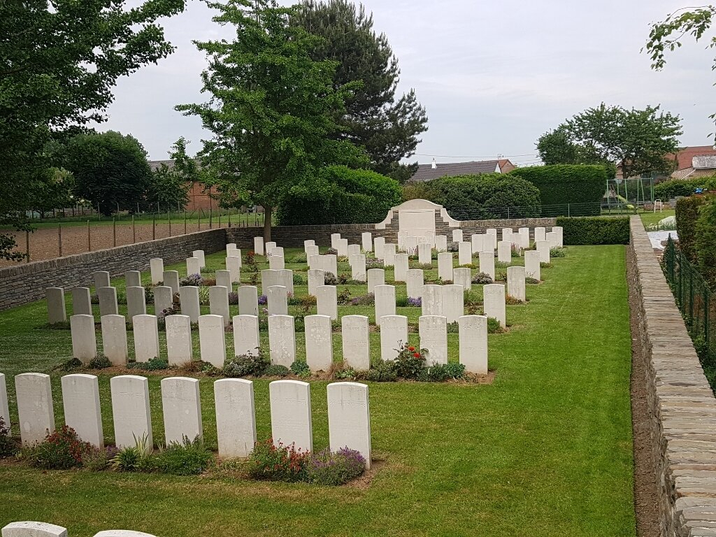
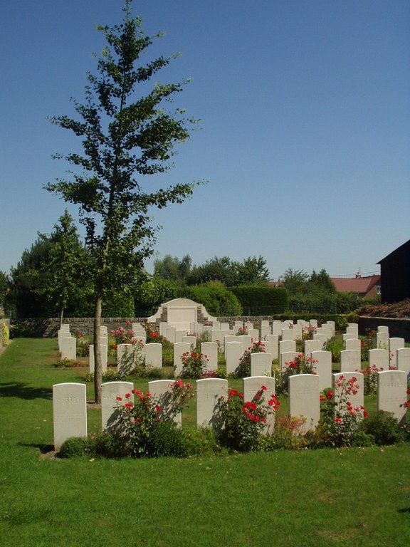
The hamlet of Zelobes remained in British hands from the early days of the War until 11 April 1918, when it was captured by the Germans; it was evacuated by them on the following 30 August. The Cemetery was used by Field Ambulances at Zelobes from November 1914 to October 1915; and after the Armistice isolated graves (mainly of December 1914 from Givenchy), were concentrated into it. There are now over 100, 1914-18 war casualties commemorated in this site. Of these, nearly a quarter are unidentified. The cemetery covers an area of 611 square metres and is enclosed by a rubble wall.