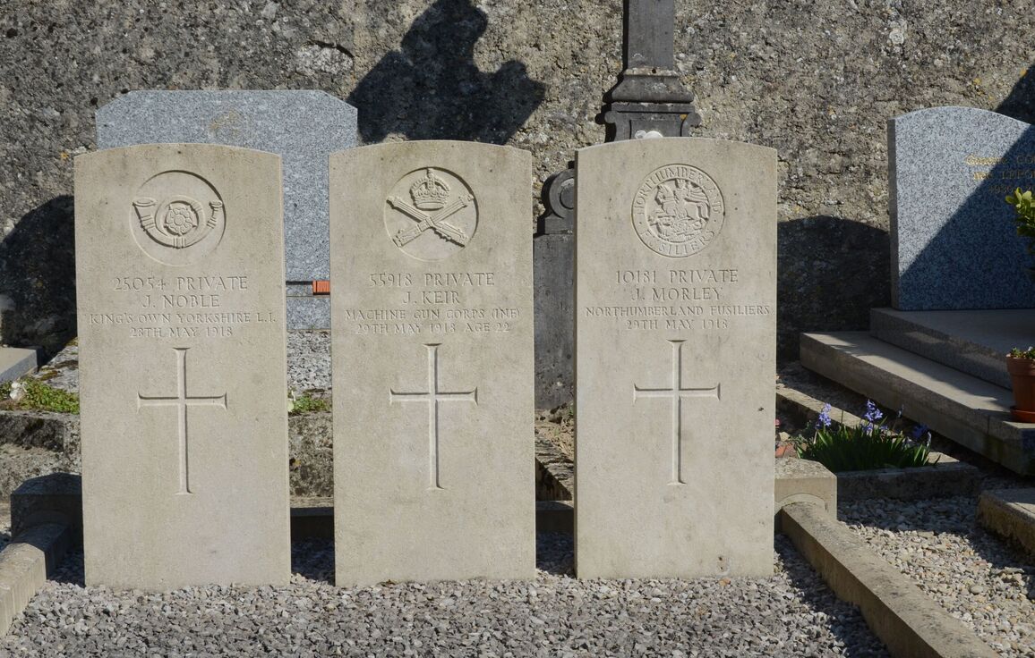
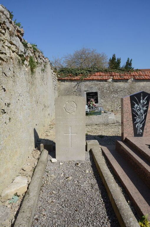
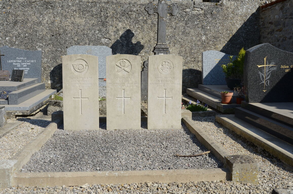
Romigny Churchyard
- Country France
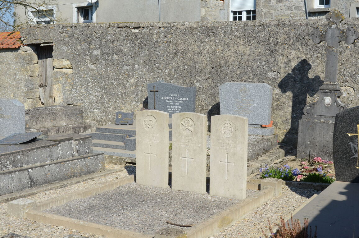
- Total identified casualties 4 Find these casualties
- Region Marne
- Identified casualties from First World War
- GPS Coordinates Latitude: 49.17312, Longitude: 3.77018
Location information
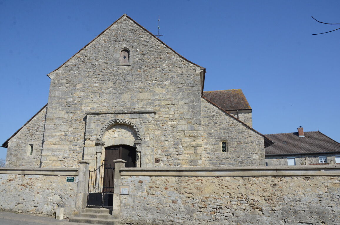
Romigny is a commune in the Department of the Marne, 22 kilometres south-east of Reims. From Reims take the D380 in the direction of Chateau-Thierry, via Bligny. The Cemetery will be found beside the church in the centre of the village. It contains four British War Graves; Corporal Tetlow's grave is on the North boundary, and the others are in the South East corner.