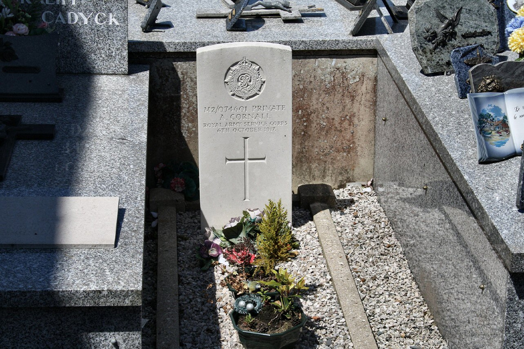
Watten Churchyard
- Country France
- Total identified casualties 1 Find these casualties
- Region Nord
- Identified casualties from First World War
- GPS Coordinates Latitude: 50.8323, Longitude: 2.21294
Location information
Watten is a village in the Nord Department, 10 kilometres north-north-west of St Omer. The Commonwealth war grave is located to the left hand side of the church near to the church wall.