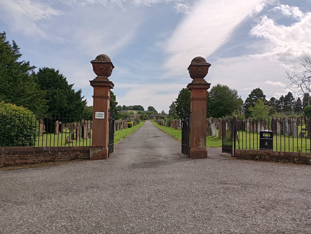
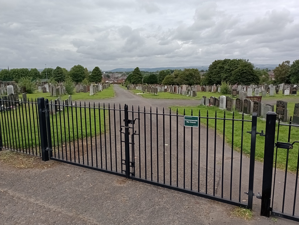
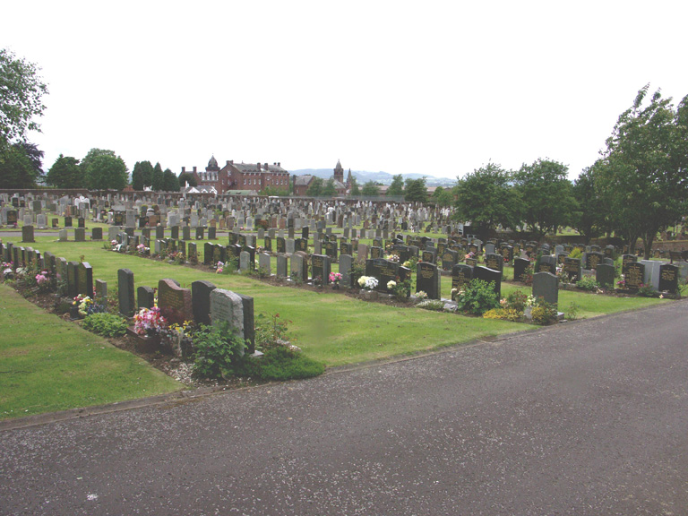
Dumfries (St. Michael's) Cemetery
- Country United Kingdom
- Total identified casualties 57 Find these casualties
- Region Dumfriesshire
- Identified casualties from First & Second World War
- GPS Coordinates Latitude: 55.06291, Longitude: -3.59683
Location information
The cemetery, between Aldermanhill road and Craigs road, was opened by the Heritors to relieve St. Michael's Churchyard. It now belongs to the Town Council.