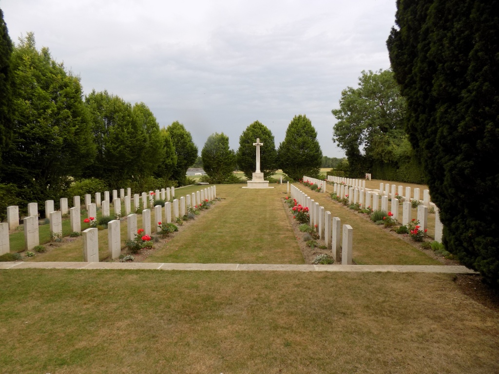
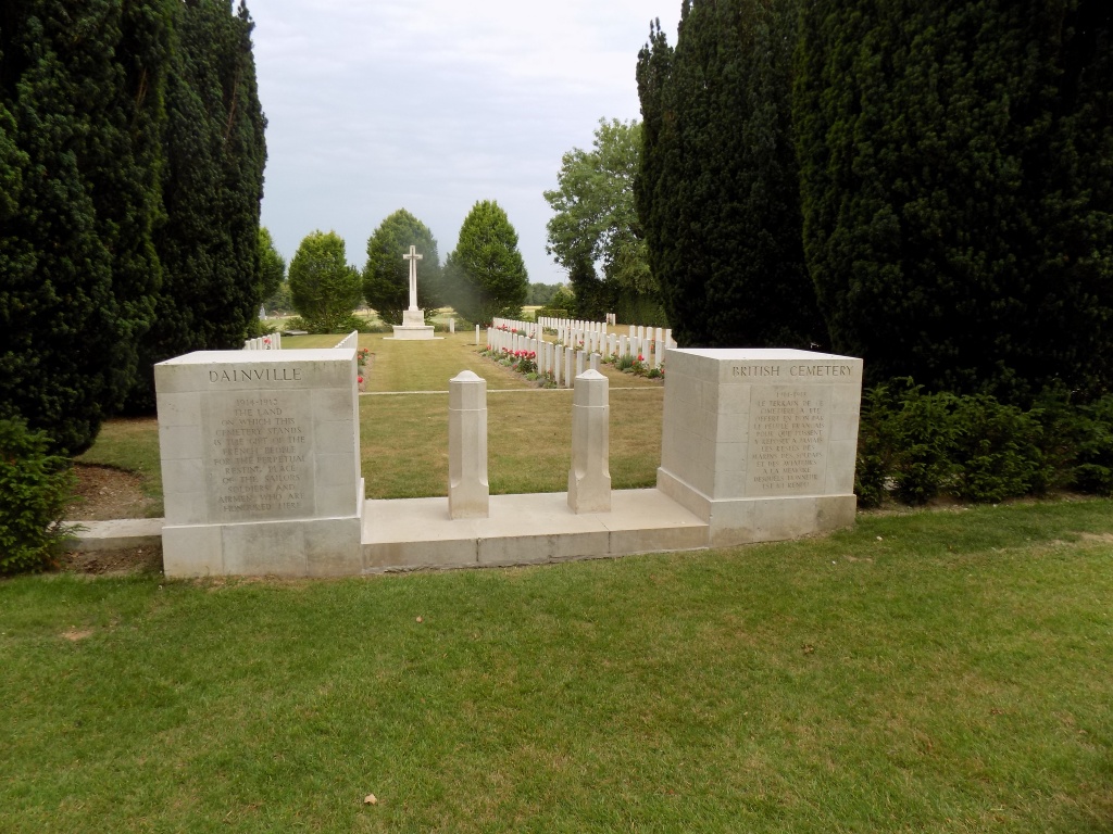
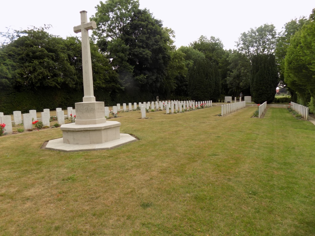
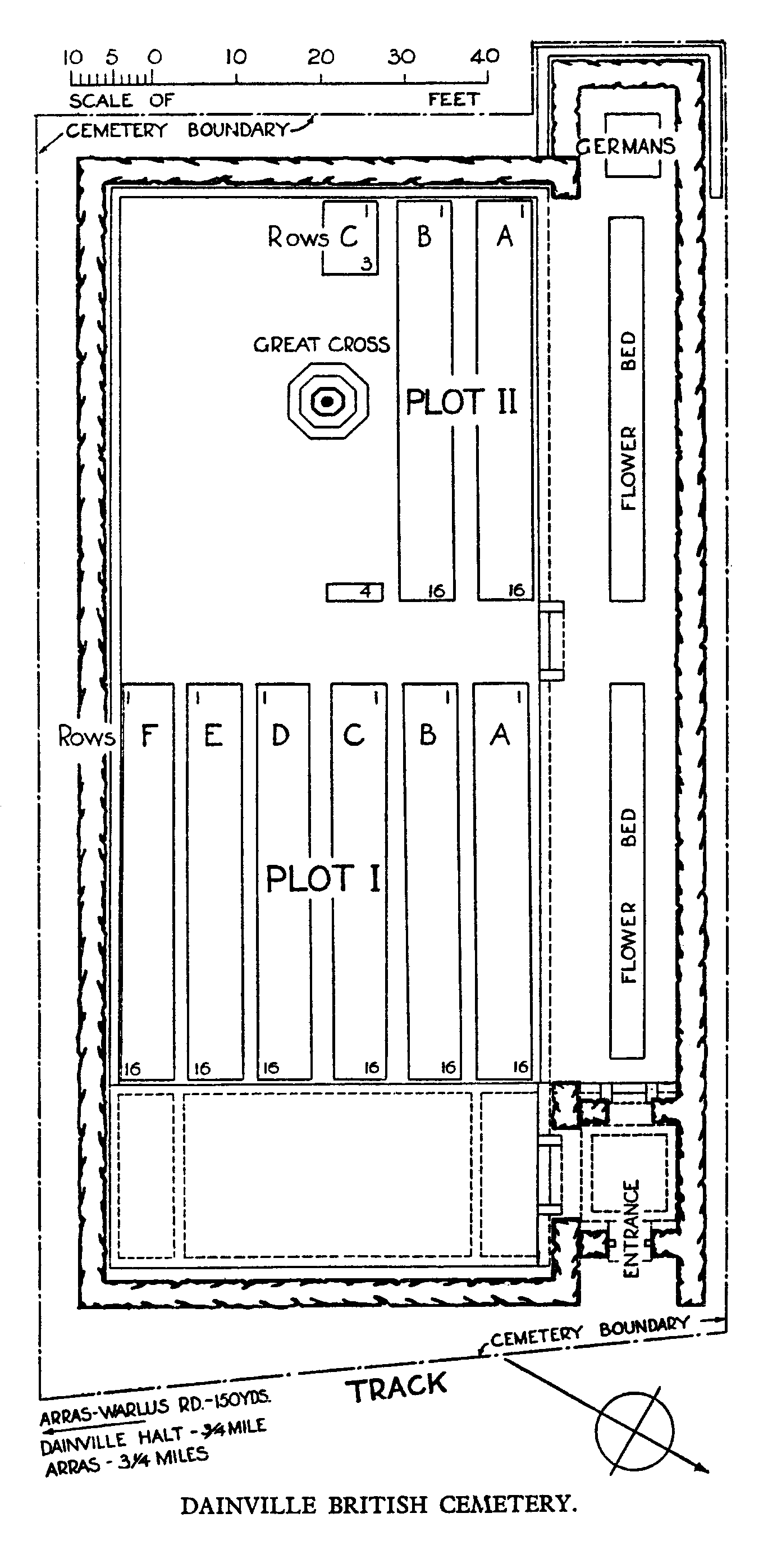
Dainville British Cemetery
- Country France
- Total identified casualties 135 Find these casualties
- Region Pas de Calais
- Identified casualties from First World War
- GPS Coordinates Latitude: 50.28317, Longitude: 2.71258
Location information
Dainville is a village in the Department of the Pas-de-Calais, on the western outskirts of Arras on the road (N25) to Doullens. The British Cemetery lies about one kilometre west of the village at the end of a track running north from the road (D59) to Warlus.
Visiting information
The location or design of this site makes wheelchair access very difficult. For further information regarding wheelchair access, please contact our Enquiries Section on enquiries@cwgc.org or 01628 507200.
History information
Occasional burials were made in the communal cemetery at Dainville between March 1916, when Commonwealth forces took over this part of the front, and April 1918, when the Germans began their great advance.
The British Cemetery was begun by the burial officer of the 56th (London) Division in the middle of April and used by that division until the Canadians took it over in July 1918.
The cemetery contains 131 Commonwealth burials of the First World War and four German war graves.
The cemetery was designed by W H Cowlishaw.