Harponville Communal Cemetery
- Country France
- Total identified casualties 34 Find these casualties
- Region Somme
- Identified casualties from First World War
- GPS Coordinates Latitude: 50.03888, Longitude: 2.50191

Location information
Harponville is 3 kilometres along the D47 north of Contay towards Varennes. The cemetery will be found at the end of the main street, turning right at the church for 200 metres. The Communal Cemetery Extension is north of the Communal Cemetery.
Visiting information
Wheelchair access to site possible - maybe by alternative entrance.For further information regarding wheelchair access, please contact our Enquiries Section on enquires@cwgc.org or 01628 507200.
History information
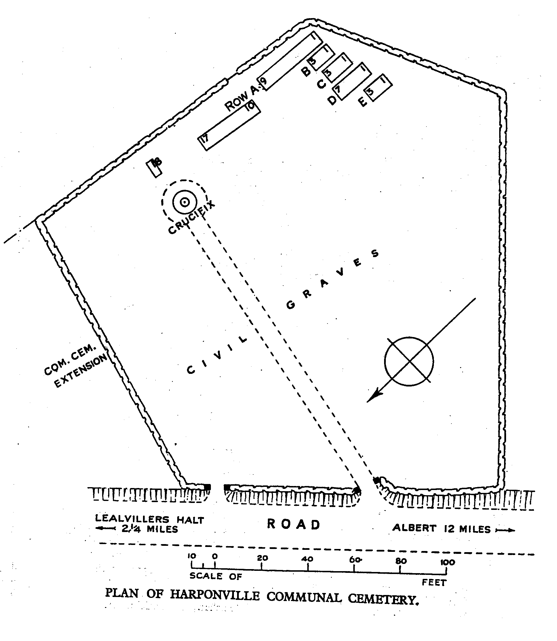
The Commonwealth graves at Harponville were made by fighting units during the German advance on the Somme in 1918.
The 34 burials in the CEMETERY date from April, May and early June. 19 of the burials are of men of the Welch Regiment.
The EXTENSION contains 138 First World War burials, dating from June, July and August 1918.
The extension was designed by N A Rew.