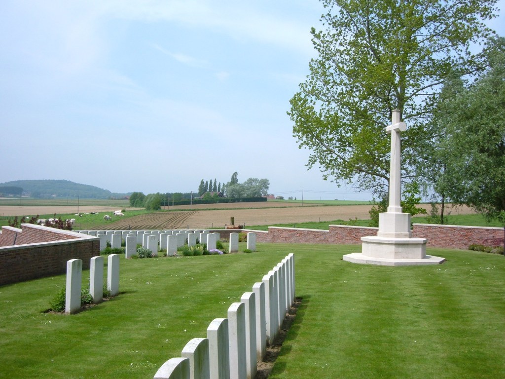
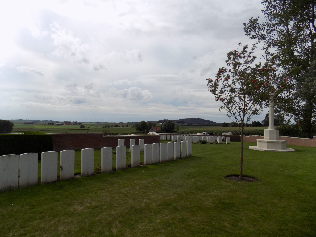
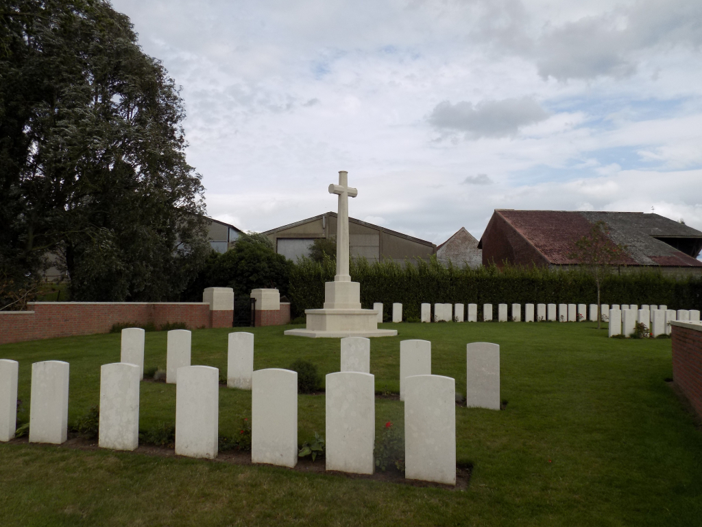
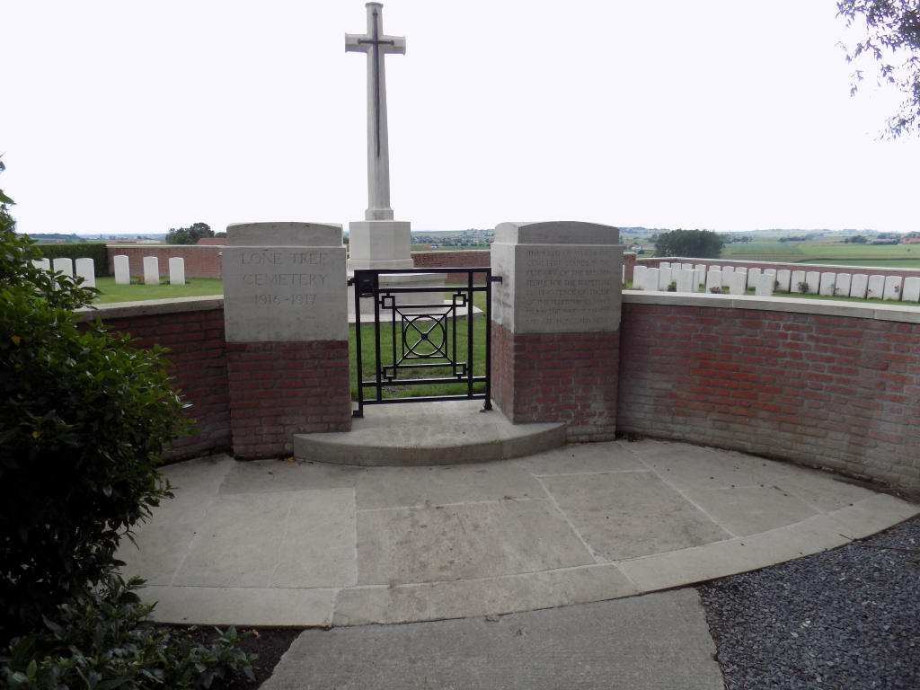
Lone Tree Cemetery
- Country Belgium
- Total identified casualties 79 Find these casualties
- Region West-Vlaanderen
- Identified casualties from First World War
- GPS Coordinates Latitude: 50.77468, Longitude: 2.86191
Location information
Lone Tree Cemetery (Spanbroekmolen) is located 8.5 kilometres south of Ieper town centre, on a road leading from the Rijselseweg, N365, which connects Ieper to Wijtschate and on to Armentieres. From Ieper town centre the Rijselsestraat runs from the market square, through the Lille Gate (Rijselpoort) and directly over the crossroads with the Ieper ring road. The road name then changes to the Rijselseweg. On reaching the village of Wijtschate the first right hand turning leads onto Hospicestraat which leads onto the village square. Leave the village square following signs for Kemmel along Wijtschatestraat. After 2 kilometres turn left onto Kruisstraat. The cemetery lies 1 kilometre along the Kruisstraat on the right hand side of the road and is located at the rear of a farm.
Visiting information
Visitors should note access to the cemetery is via a concrete path that crosses a field and then past a pond to the cemetery.
Wheelchair users should note that the path follows the contours of the ground and slopes down towards the cemetery, there is also a small step at the entrance to the cemetery.
History information
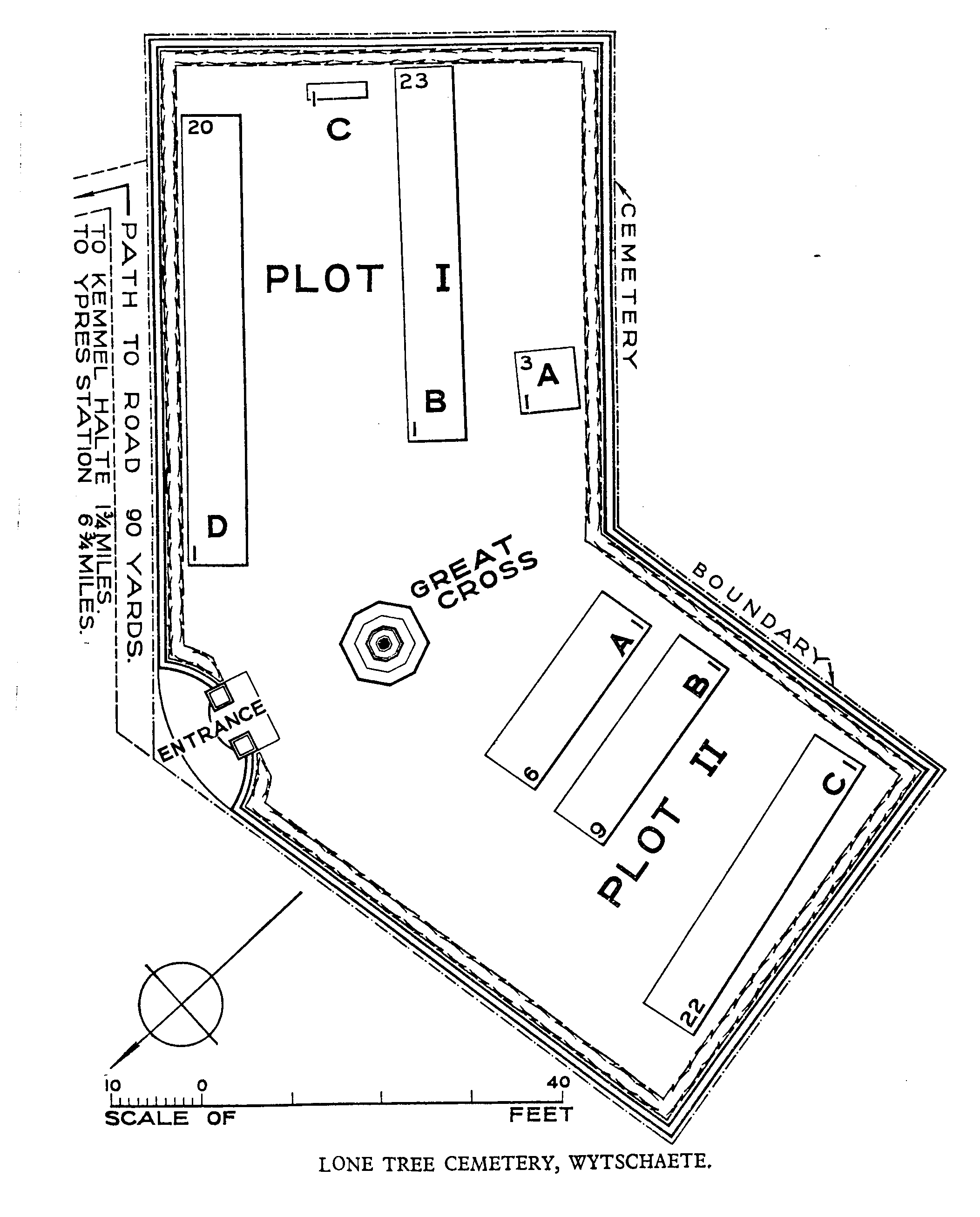
Lone Tree Cemetery is close to the Lone Tree Crater, one of the nineteen which were made immediately before the infantry attack at the Battle of Messines in June 1917. Nearly all the graves in the cemetery are those of soldiers who fell on the first day of the battle. The cemetery contains 88 First World War burials. The cemetery was designed by J R Truelove.