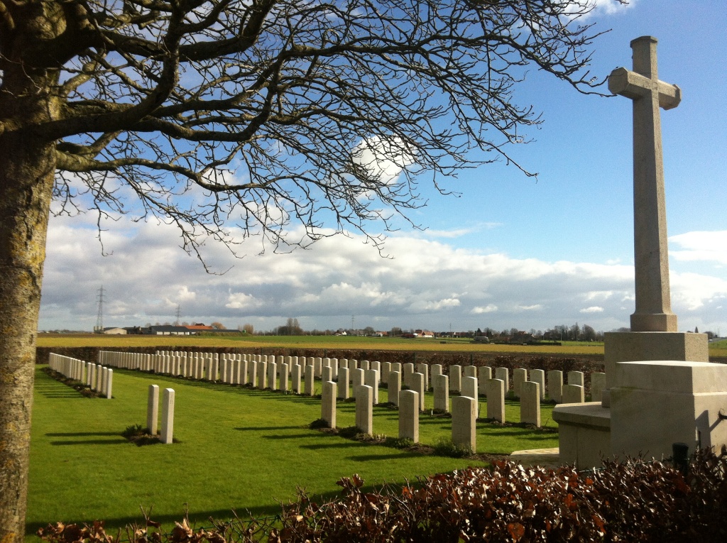
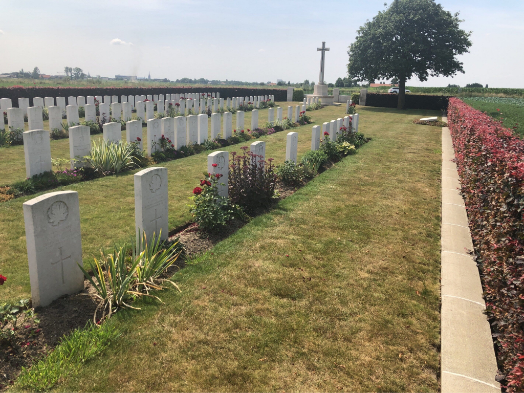
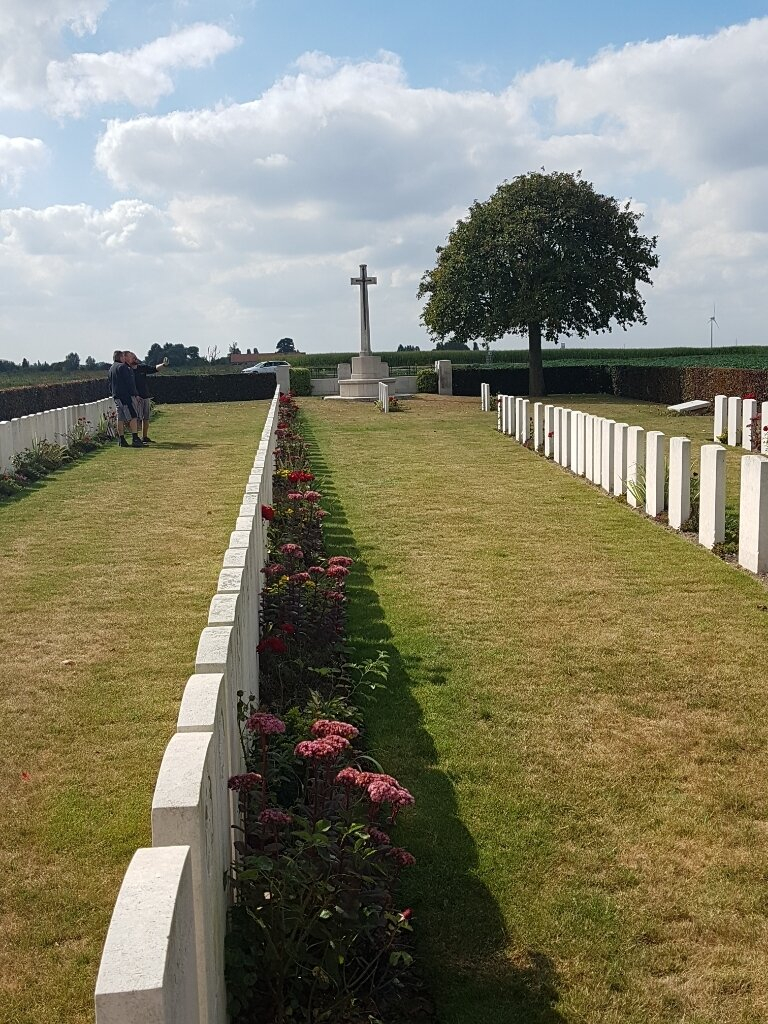
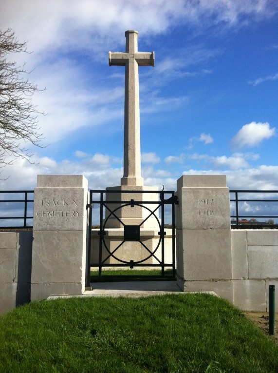
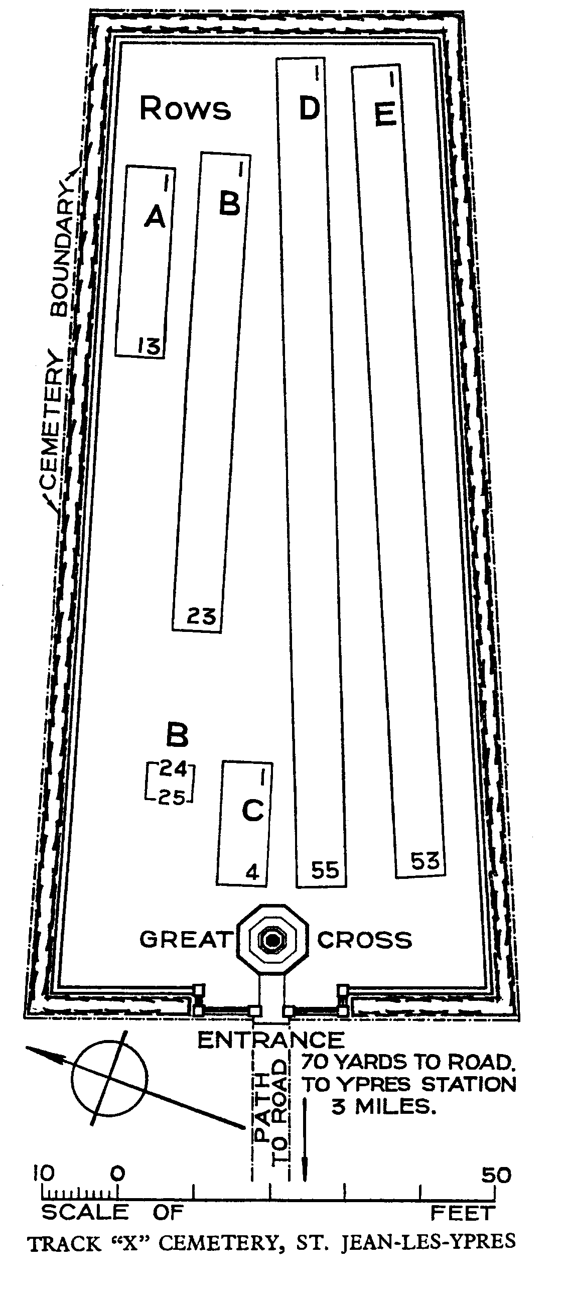
Track X Cemetery
- Country Belgium
- Total identified casualties 122 Find these casualties
- Region West-Vlaanderen
- Identified casualties from First World War
- GPS Coordinates Latitude: 50.87807, Longitude: 2.91111
Location information
The cemetery is located to the North-East of the town of Ieper. From the station turn left and drive along M.Fochlaan to the roundabout, turn right and go to the next roundabout. Here turn left into M.Haiglaan and drive to the next roundabout. Here turn right into Oude Veurnestraat, this then changes into Diksmuidseweg and Brugseweg. Drive along this road and continue straight over the traffic lights to the end of the road. At the T junction turn left (still Brugseweg) and continue along this road through the village of Saint Jan (N313). Follow this road to the end. You come to the junction with the N38, straight across this junction into Hogeziekenweg. After 50 metres the road bends sharply to the left, follow the road to the crossroads, then turn right into the Moortelweg. The cemetery is approximately 150 metres down this road on the right hand side.
Visiting information
The location or design of this site, makes wheelchair access impossible.
For further information regarding wheelchair access, please contact our Enquiries Department on telephone number: 01628 634221
History information
The site of the cemetery was between the Allied and German front lines in June 1917. The cemetery was begun by the 39th and 48th (South Midland) Divisions at the end of July, after Commonwealth forces advanced on this front. It was closed in November 1917, except for two burials in May 1918.
There are now 149 First World War burials in the cemetery, 27 of them unidentified.