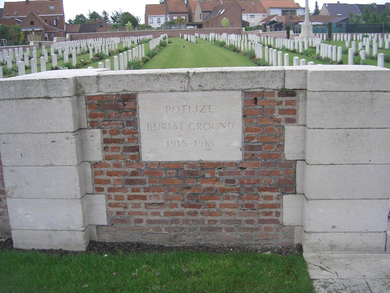
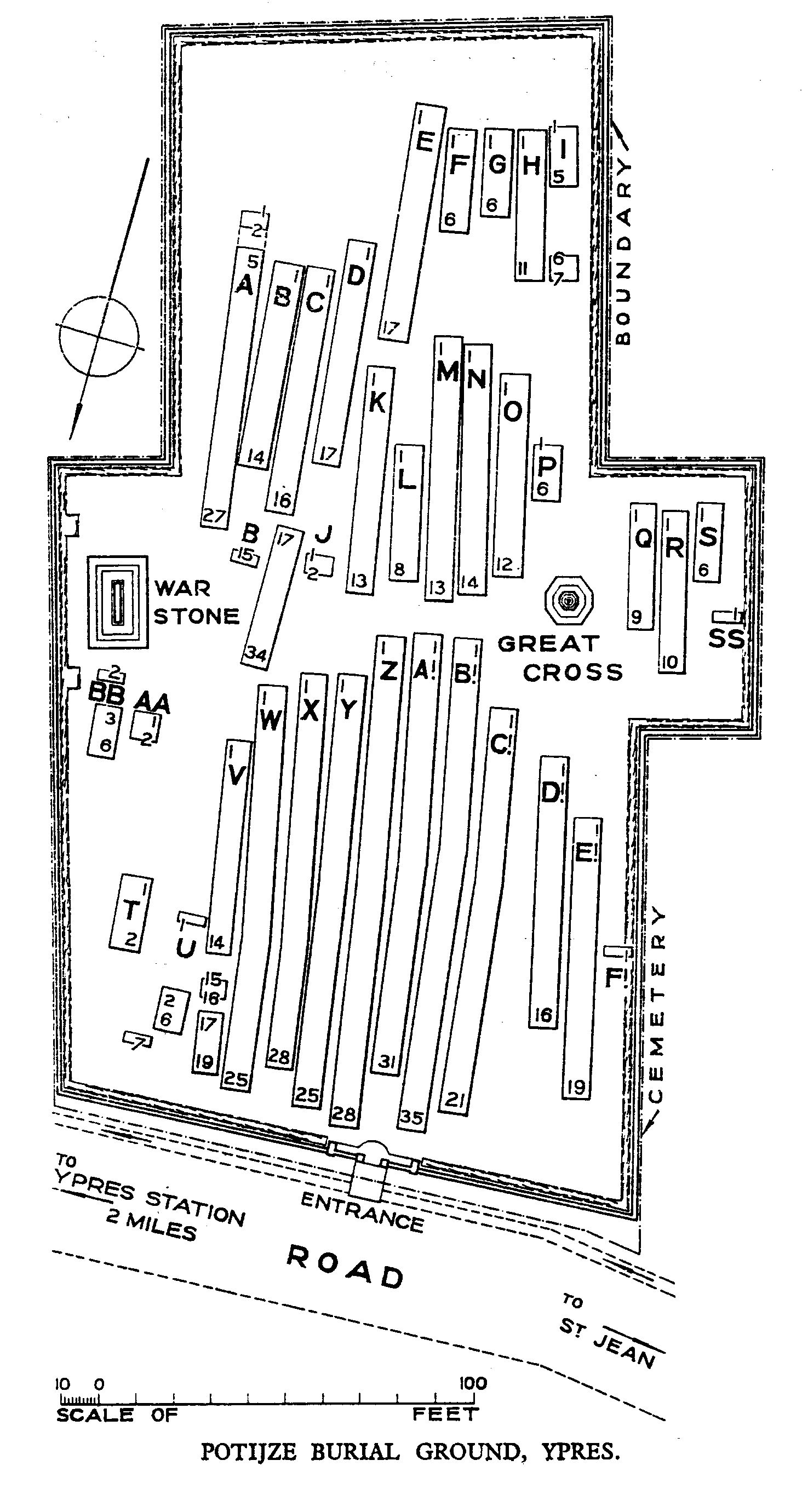
Potijze Burial Ground Cemetery
- Country Belgium
- Total identified casualties 570 Find these casualties
- Region West-Vlaanderen
- Identified casualties from First World War
- GPS Coordinates Latitude: 50.86041, Longitude: 2.90991
Location information
The cemetery is located to the North-East of the town of Ieper. From the station turn left and drive along Fochlaan to the roundabout, turn right and go to the next roundabout. Here turn left into Haiglaan and drive to the next roundabout. Here turn right into Oude Veurnestraat, this then changes into Diksmuidseweg and Brugseweg. Drive along this road and continue straight over the traffic lights to the end of the road. At the T junction turn left (still Brugseweg) and continue along this road the N313 to the village of Sint Jan. At the crossroads in the village turn right onto the N345, Potijzestraat, follow this road and the cemetery is approx 400 metres along on the right hand side.
Visiting information
Wheelchair access to the site is possible, but may be by an alternative entrance. For further information regarding wheelchair access, please contact our Enquiries Section on telephone number 01628 507200.
History information
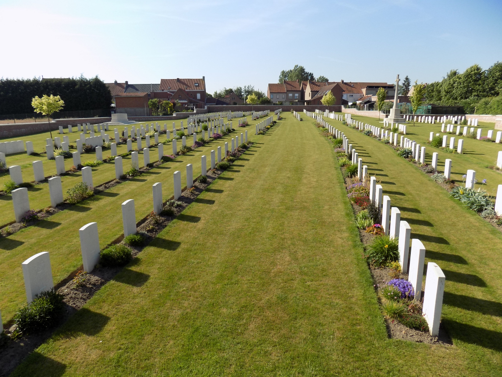
Potijze was within the Allied lines during practically the whole of the First Word War and although subject to incessant shell fire, Potijze Chateau contained an Advanced Dressing Station. Potijze Burial Ground Cemetery was used from April 1915 to October 1918. There are now 584 Commonwealth burials of the First World War within the cemetery. The cemetery was designed by Sir Reginald Blomfield.