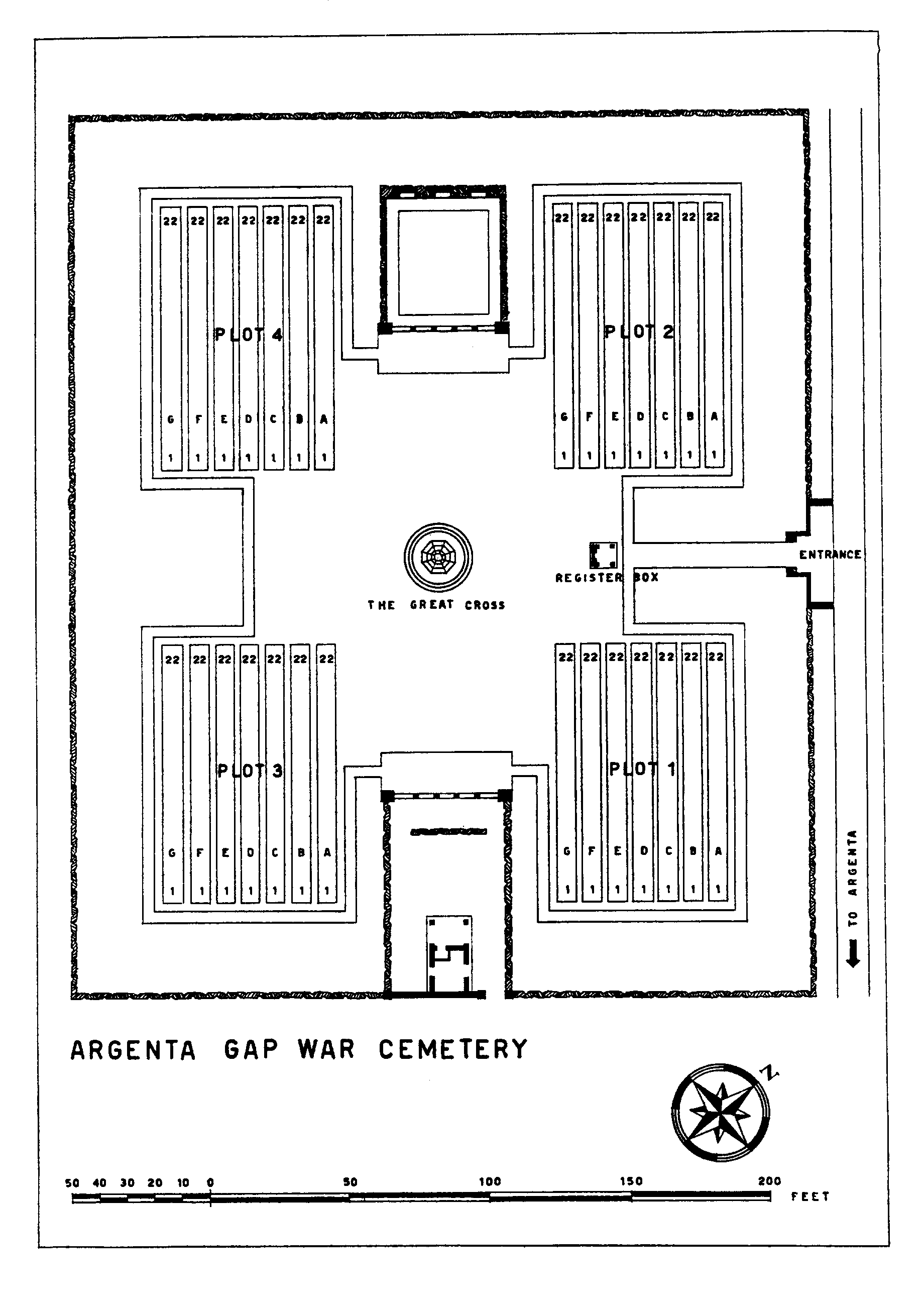
Argenta Gap War Cemetery
- Country Italy
- Total identified casualties 618 Find these casualties
- Identified casualties from Second World War
- GPS Coordinates Latitude: 44.6345, Longitude: 11.8324
Please note
Access to the road leading to the cemetery is closed to cars outside the cemetery’s opening hours due to a technical problem with the padlock of the road gates.

Location information
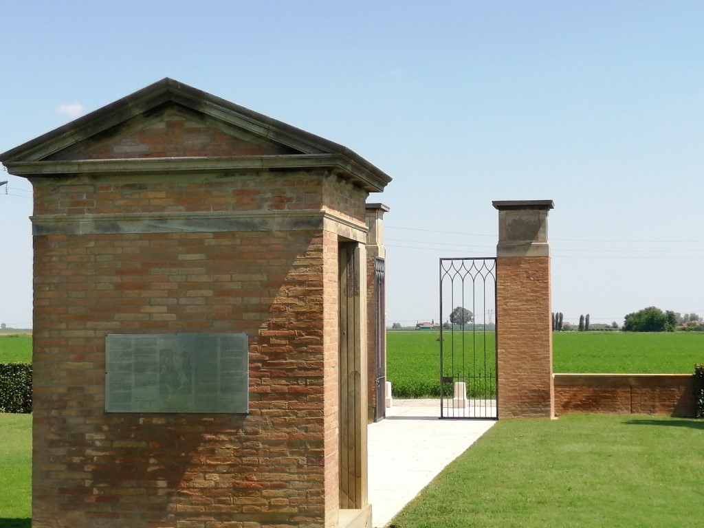
The Cemetery lies in the Commune of Argenta in the Province of Ferrara and the town of Argenta is 2 kilometres south of the cemetery on the SS16 connecting Ravenna with Ferrara. Coming from Ravenna: -continue along the SS 16 towards Ferrara until you pass the centre of Argenta. Follow the signs to Bando and turn right on Strada di Sant'Antonio. Then follow the indication below. Coming from Ferrara: -continue along the SS16 towards Ravenna and turn left in Strada di Sant'Antonio, the first street of the village of Argenta following the signs to Bando. Then follow the indication below. Coming from Bologna: -continue along SP38 until the intersection with SS16. Turn left in SS16 towards Ferrara until you pass the centre of Argenta. Follow the signs to Bando and turn right on Strada di Sant'Antonio. Then follow the indication below. At the roundabout go right. This road continuing takes the name of via del Fitto. Follow the signs to Bando until the turn left into via Alberelli. Go ahead and take the first right into via Fritelline then take the first on the right, via Piangipane. The cemetery is located at the end of the private path to the right. Cemetery address: Via Piangipane snc - 44011 Argenta (FE) Emilia Romagna GPS Co-ordinates: Latitude: 44.634143, Longitude: 11.831902.
Visiting information
This cemetery is permanently open and may be visited at any time.
Please note that the main entrance is some 800 metres away from the nearest road. The track from the road to the cemetery entrance runs over private land on which the landowner has placed a barrier across the track. The barrier is usually unlocked between 08.00 and 19.30. Should the barrier be locked at the time of your visit, the combination lock number is 1221.
Wheelchair access to the cemetery is possible via main entrance. For further information and enquiries please contact enquiries@cwgc.org
History information
On 3 September 1943 the Allies invaded the Italian mainland, the invasion coinciding with an armistice made with the Italians who then re-entered the war on the Allied side.
Following the fall of Rome to the Allies in June 1944, the German retreat became ordered and successive stands were made on a series of defensive lines. In the northern Appenine mountains the last of these, the Gothic Line, was breached by the Allies during the Autumn campaign and the front inched forward as far as Ravenna in the Adratic sector, but with divisions transferred to support the new offensive in France, and the Germans dug in to a number of key defensive positions, the advance stalled as winter set in.
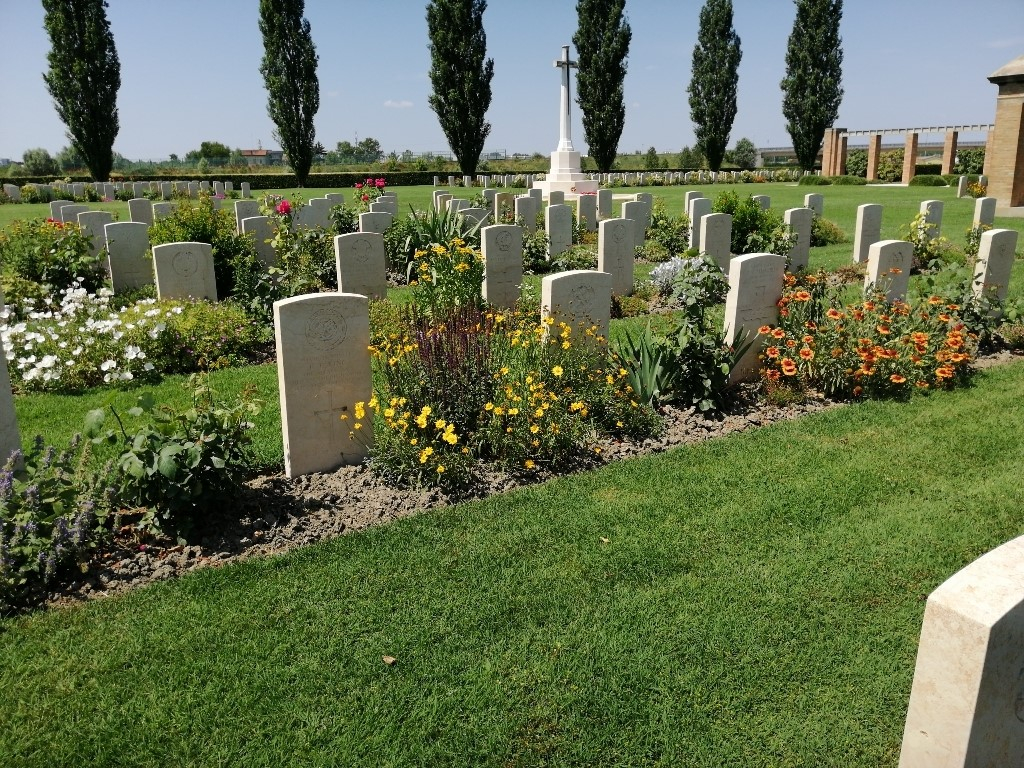
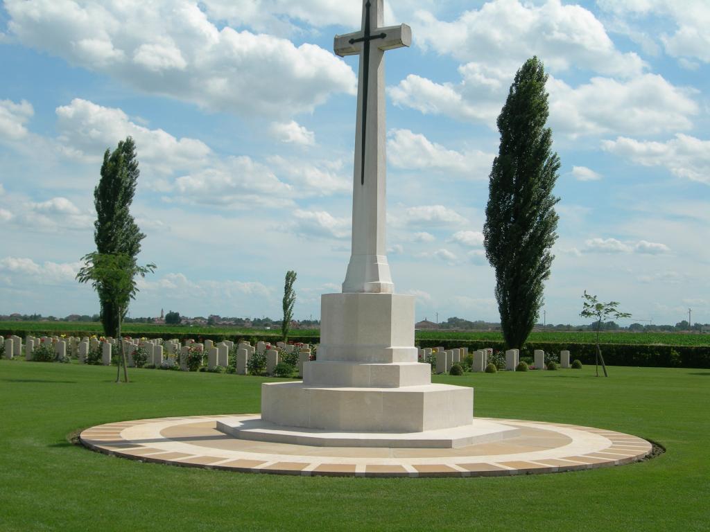
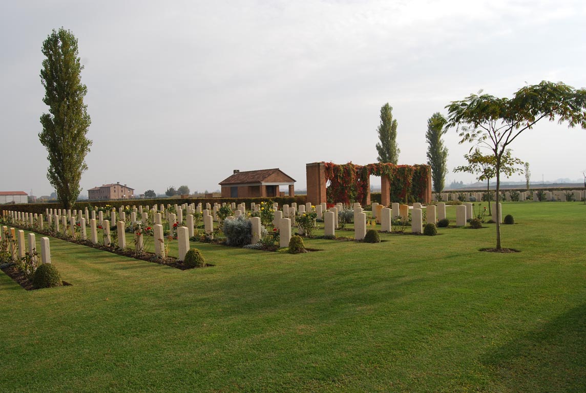
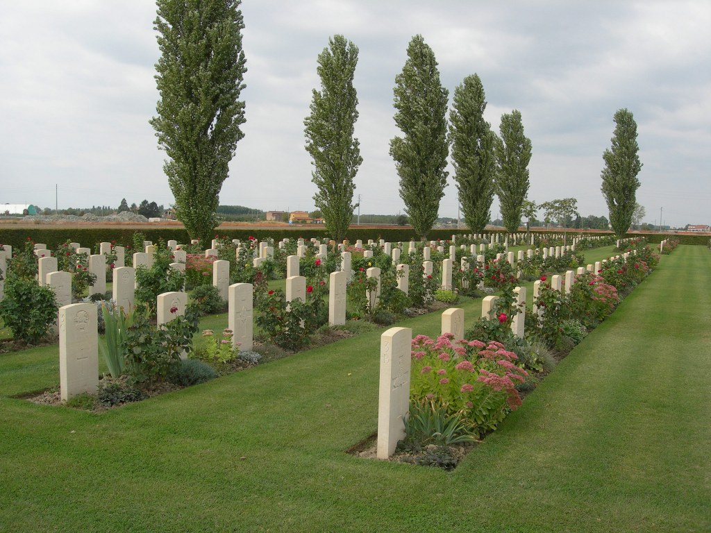
The final Allied offensive begain early the following April and Argenta Gap War Cemetery marks the final stages of the hard fighting in Italy in the spring of 1945. The site of the cemetery was chosen by the 78th Division for battlefield burials, and it was later enlarged when burials were brought in from the surrounding district. It contains, among others, the graves of many men of the Commandos engaged in the amphibious operations on the shores of the Comacchio lagoon early in April 1945.
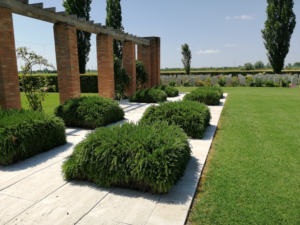
Argenta Gap War Cemetery contains 625 Commonwealth burials of the Second World War, eight of them unidentified. The cemetery was designed by Louis de Soissons.