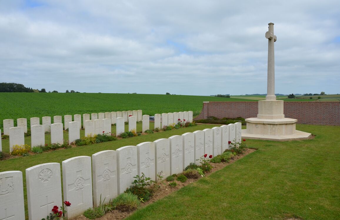
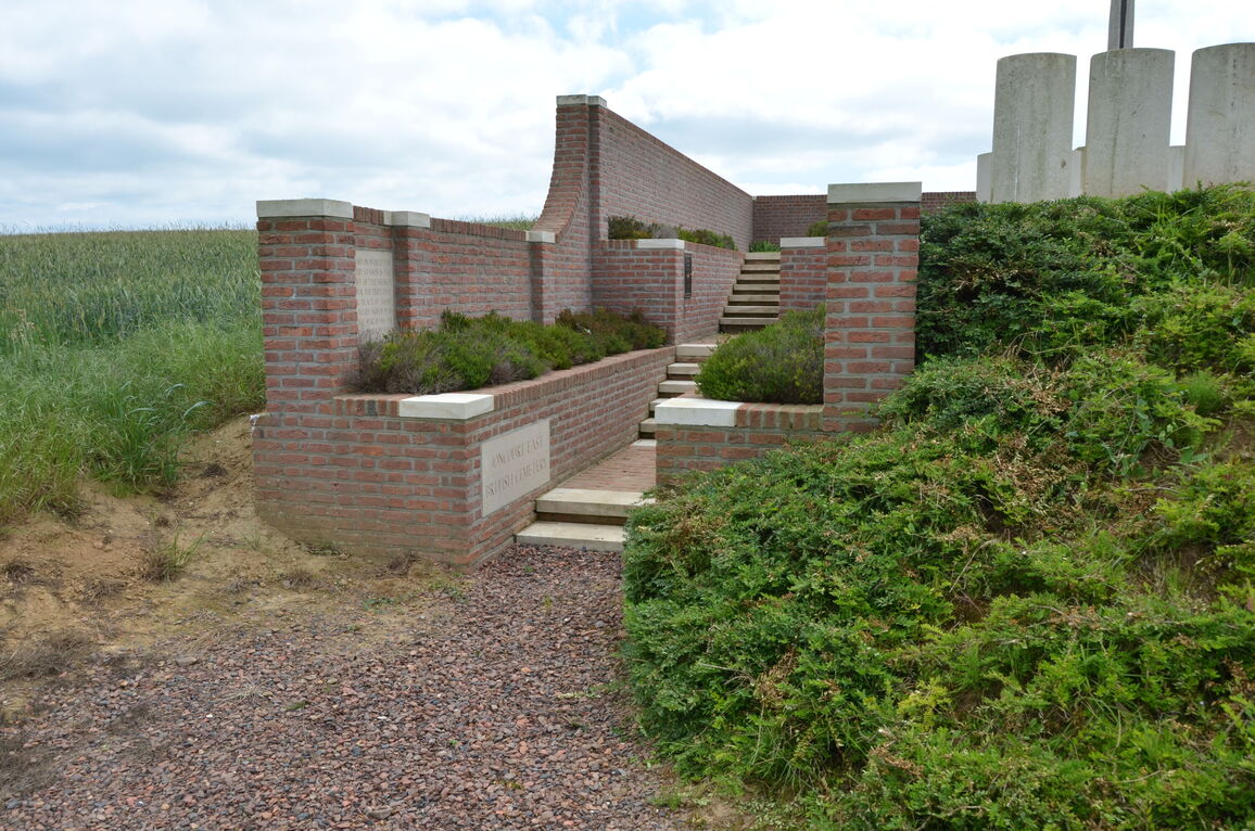
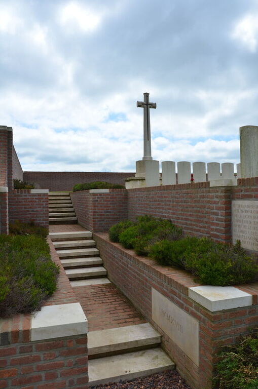
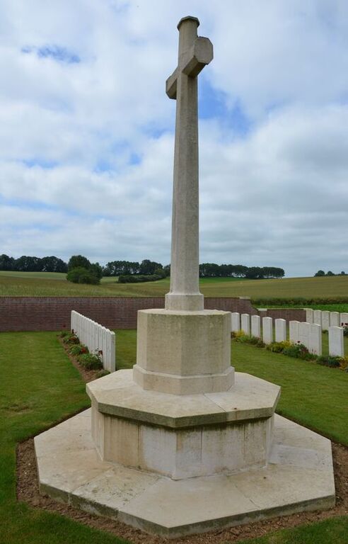
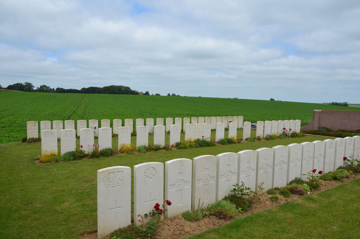
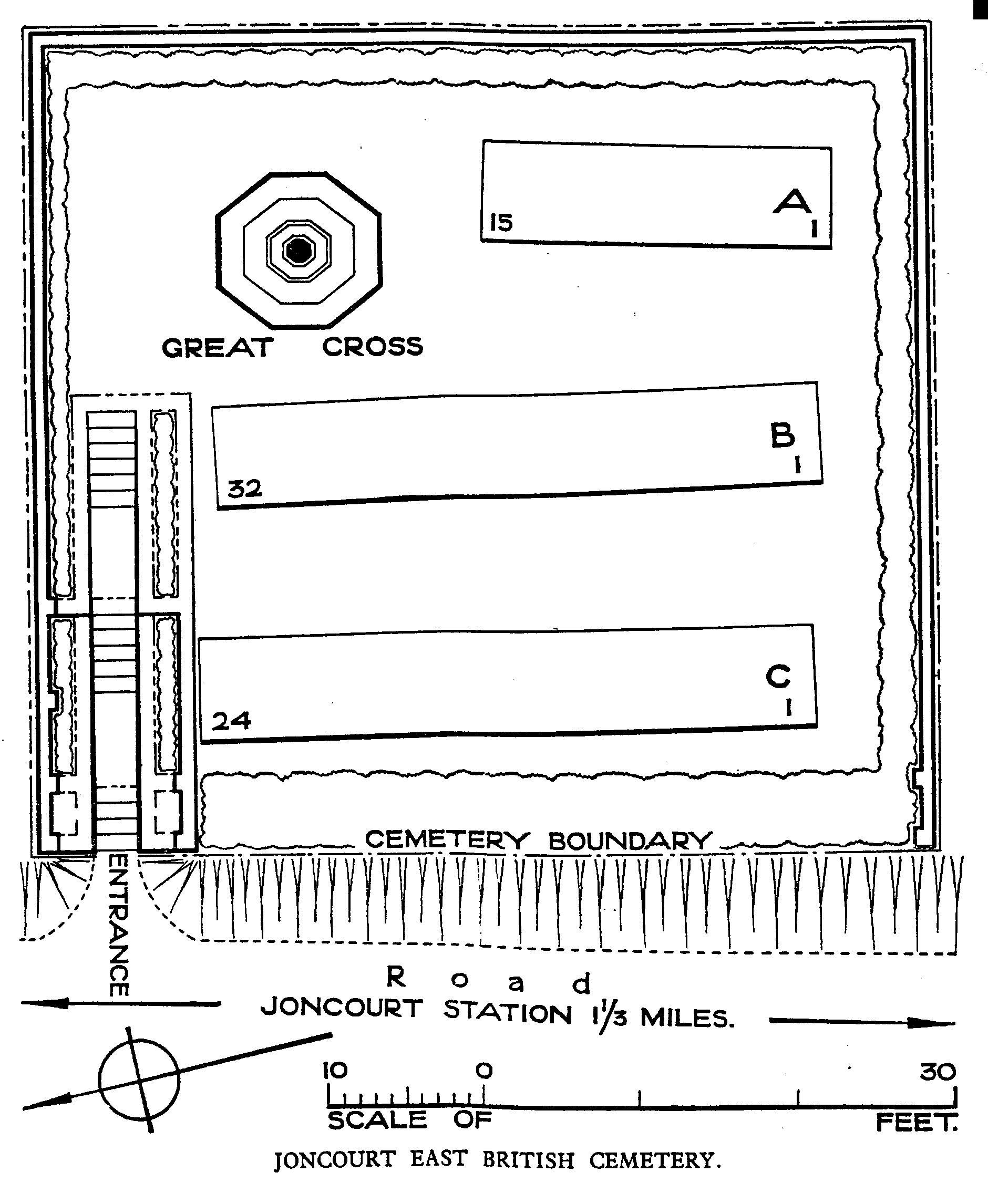
Joncourt East British Cemetery
- Country France
- Total identified casualties 70 Find these casualties
- Region Aisne
- Identified casualties from First World War
- GPS Coordinates Latitude: 49.95419, Longitude: 3.30967
Location information
Joncourt is a village situated in the north-western corner of the Department of the Aisne, 12 kilometres north of St Quentin. Joncourt East British Cemetery is signposted 1 kilometre to the east of the village travelling on the D713 in the direction of Ramicourt.
Visiting information
The signpost to the cemetery directs visitors 500 metres down a muddy track, and it is advisable to take this final portion on foot.
The location or design of this site makes wheelchair access very difficult. For further information regarding wheelchair access, please contact our Enquiries Section on enquiries@cwgc.org or 01628 507200.
History information
The village of Joncourt was immediately west of the German fortification called the Beaurevoir-Fonsomme Line. It was captured by Australian troops on 30 September 1918, and cleared by the 5th Australian and 32nd Division on the following day.
Joncourt East British Cemetery contains 71 First World War burials, 62 of which belong to the 15th or 16th Lancashire Fusiliers or the 2nd Manchesters. All of the graves date from the period 30 September-3 October 1918.
The cemetery was designed by W H Cowlishaw.