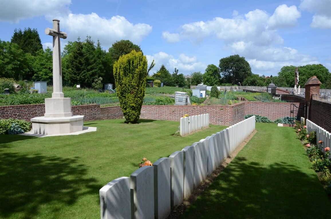
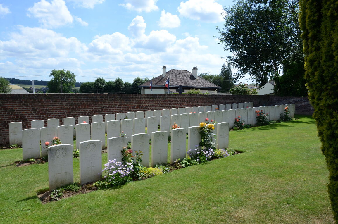
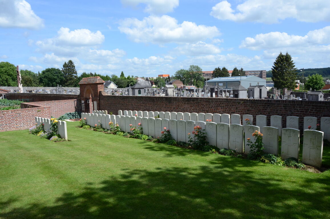
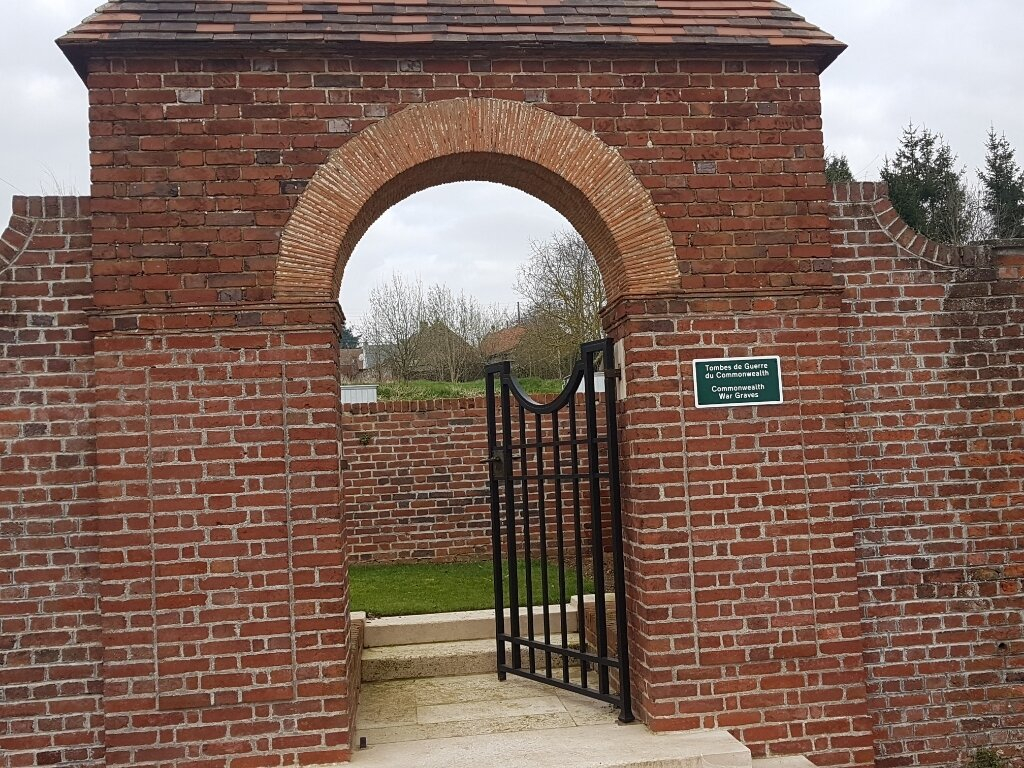
Fresnoy-Le-Grand Communal Cemetery Extension
- Country France
- Total identified casualties 67 Find these casualties
- Region Aisne
- Identified casualties from First World War
- GPS Coordinates Latitude: 49.94995, Longitude: 3.42044
Location information
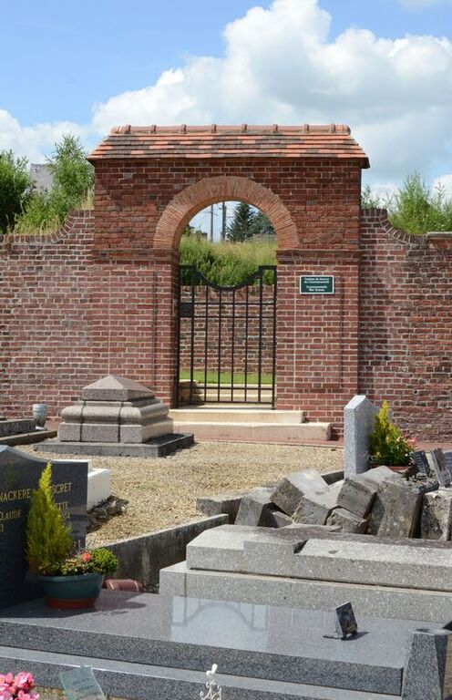
Fresnoy-le-Grand is a small town in the Department of the Aisne, 14 kilometres north-east of St Quentin on the D8 and 6 kilometres south west of Bohain, also on the D8. The Cemetery is signposted from the town's main road junction where the D70, D8 and ED311 meet. From this point the Cemetery is 200 metres to the left, further along the D311 direction Boukincamp. The British Cemetery lies at the back of the Communal Cemetery within a walled area.
Visiting information
The location or design of this site makes wheelchair access very difficult. For further information regarding wheelchair access, please contact our Enquiries Section on enquiries@cwgc.org or 01628 507200.
History information
Fresnoy-Le-Grand was evacuated by German forces on the 9th October 1918, and occupied by the 46th (North Midland) and 6th Divisions. The Extension was made and used by the 46th Division in October 1918.
There are now over 60, 1914-18 war casualties commemorated in this site.
The Extension covers an area of 240 square metres.