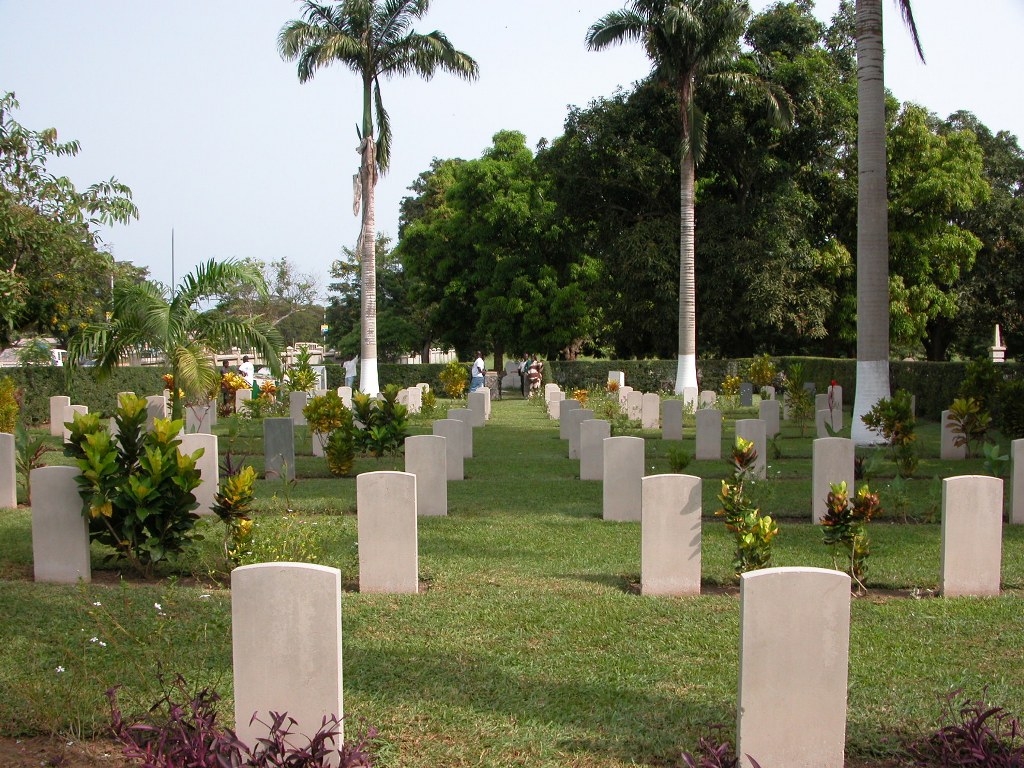
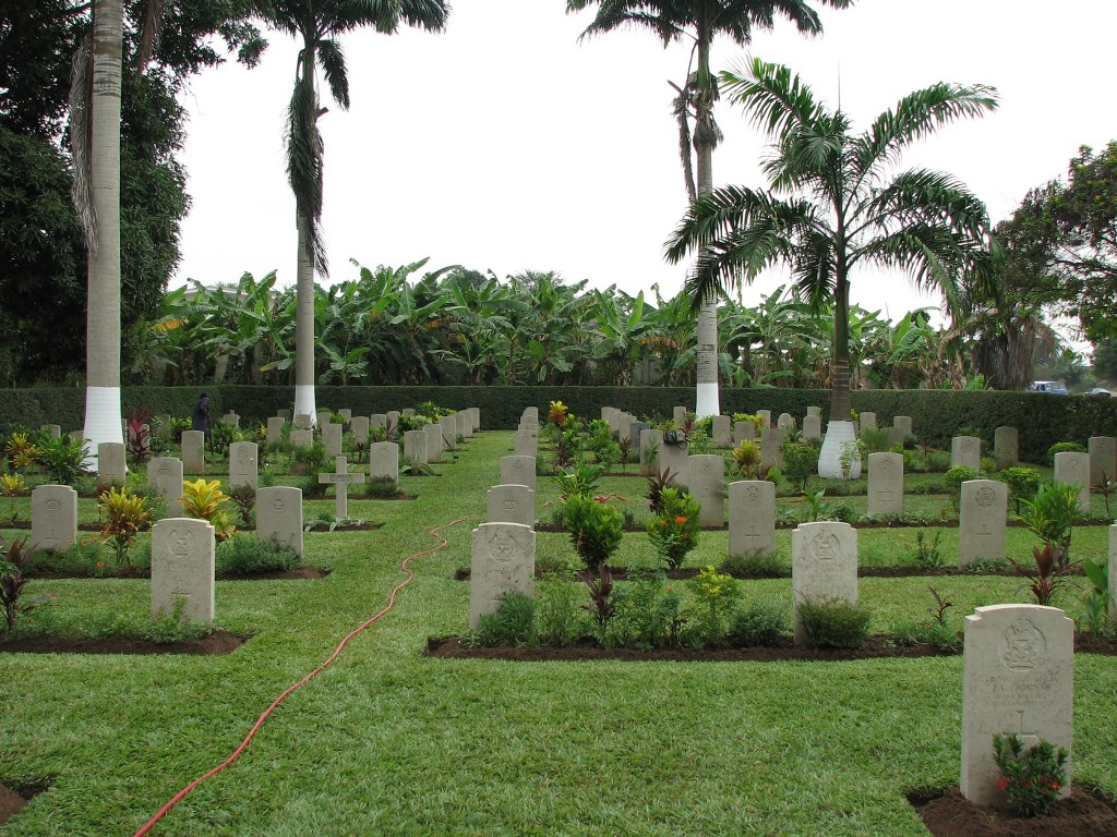
Takoradi European Public Cemetery
- Country Ghana
- Total identified casualties 66 Find these casualties
- Identified casualties from First & Second World War
- GPS Coordinates Latitude: 4.90585, Longitude: -1.7744
Location information
Takoradi European Public Cemetery lies north of Takoradi airport, on the main road running westward from Takoradi to Axim, and is about 3 kilometres from the centre of town. It is adjacent to the public cemetery.
Visiting information
ARRIVAL
The route to the cemetery is not signposted.
PARKING
It is possible to park along a grass track at the edge of the cemetery.
There are spaces for up to 2 vehicles and the parking area is approximately 30 metres from the main entrance.
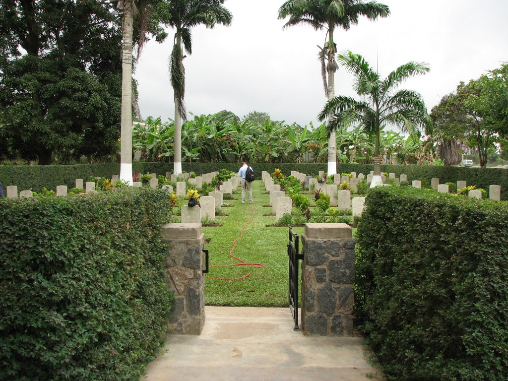
ACCESS, LAYOUT AND MAIN ENTRANCE
The cemetery is rectangular shaped.
There is a flat flagstone path heading to the main gate, located under a hedge arch. The paving is cracked in places.
The main gate is approximately 1 metre high with a single black metal section that opens inwards into the cemetery. The gate has a ring style handle.
There is a stepped change at the main entrance between the flagstone area and the grass, a drop of approximately 5 cm from paving slabs onto grass.
All internal cemetery paths are grass, the ground is flat and firm.
ALTERNATIVE ACCESS
There are no alternative entrances into the cemetery.
ADDITIONAL INFORMATION
The cemetery is open every day between 0600 hrs to 1800 hrs.
History information
The cemetery contains 2 Commonwealth burials of the 1914-1918 war and 62 of the 1939-1945 war. In addition there are 25 non world war burials and 4 non Commonwealth burials here.