Mitcham (Church Road) Burial Ground
- Country United Kingdom
- Total identified casualties 55 Find these casualties
- Region Surrey
- Identified casualties from First & Second World War
- GPS Coordinates Latitude: 51.40392, Longitude: -0.176
History information
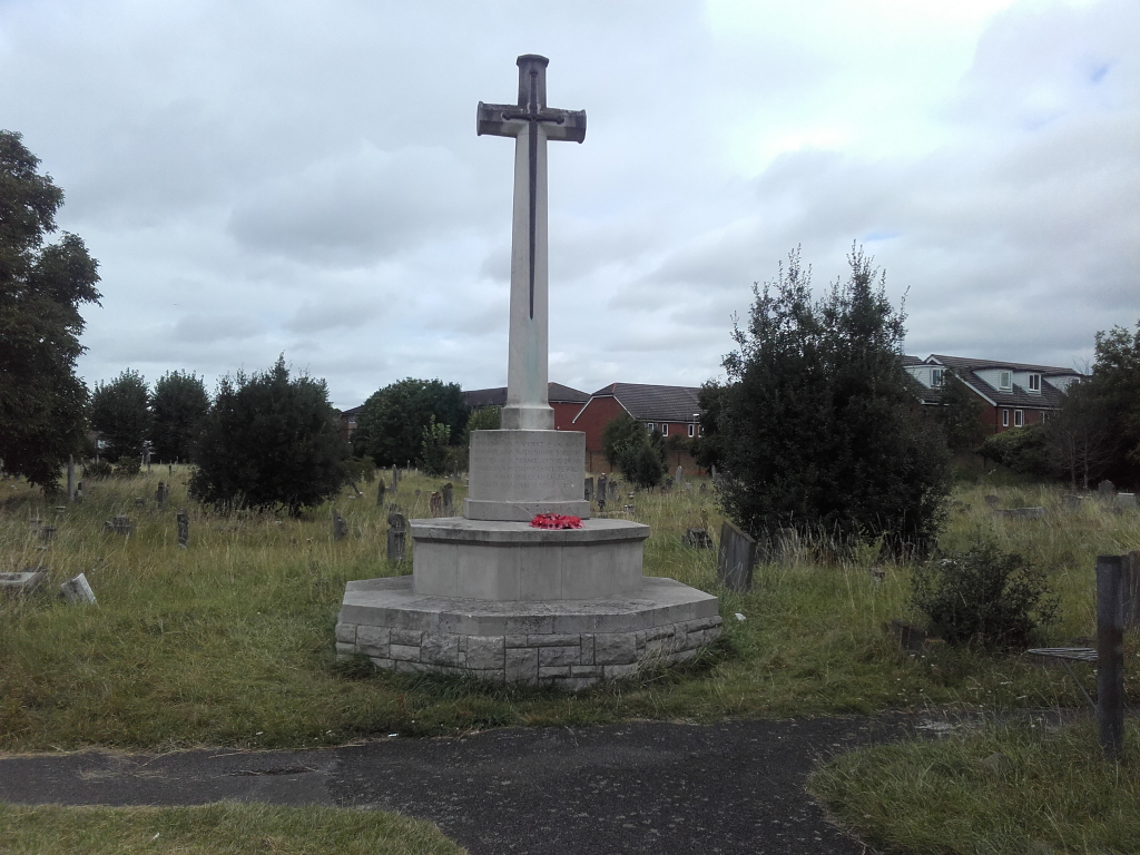
Mitcham (Church Road) Burial Ground was begun in 1883 and belongs to the Urban District Council (a new cemetery, on the London road, was opened in 1929). It contains 48 scattered War Graves, and a War Cross which faces the main entrance.