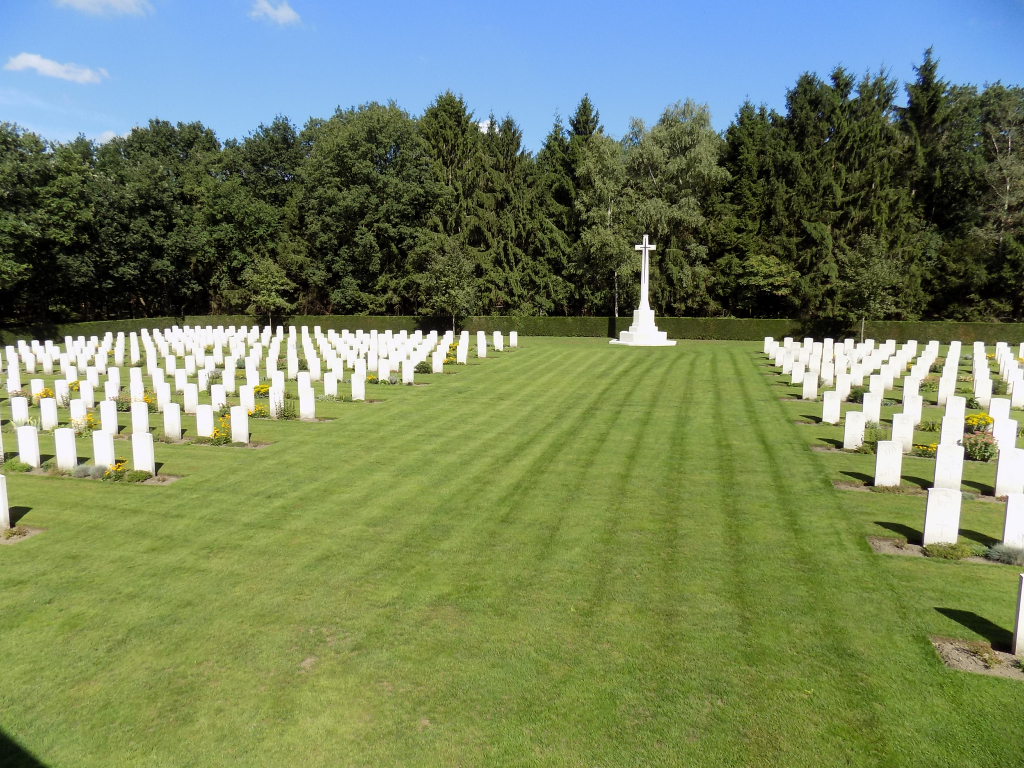
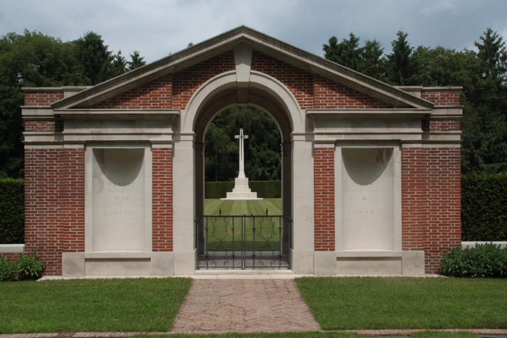
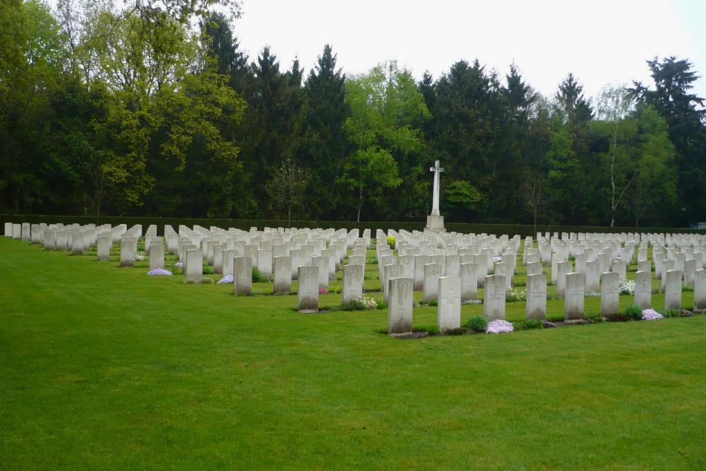
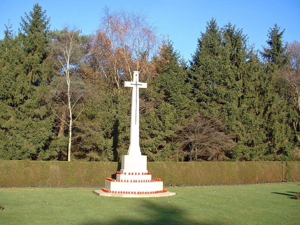
Venray War Cemetery
- Country Netherlands
- Total identified casualties 663 Find these casualties
- Region Limburg (Netherlands)
- Identified casualties from Second World War
- GPS Coordinates Latitude: 51.52906, Longitude: 5.95541
PLEASE NOTE
We are currently carrying out a horticultural renovation at Venray War Cemetery until end of 2023. The cemetery remains open to the public.
Location information
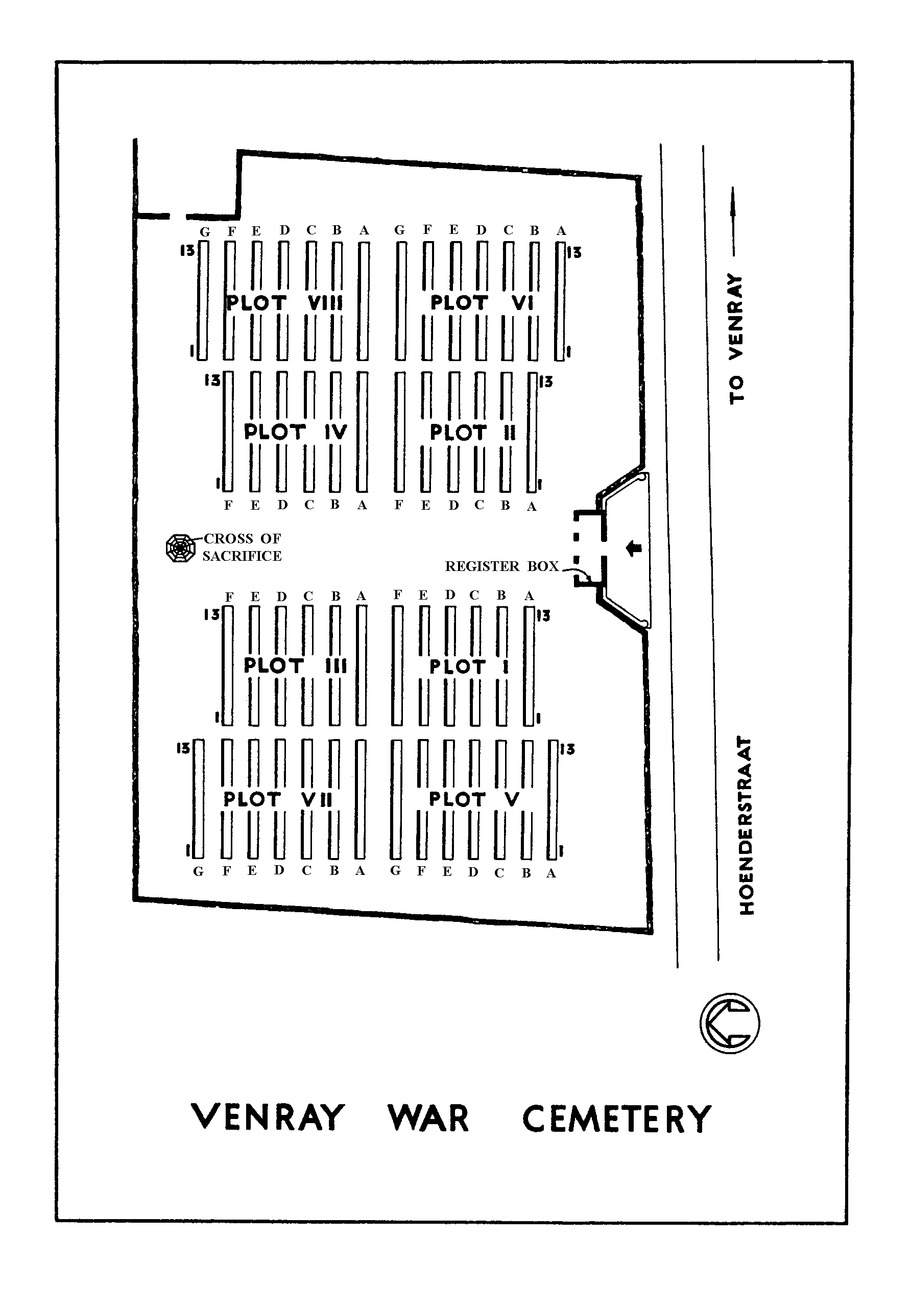
The town of Venray lies in the south of the Netherlands approx 40kms to the east of Eindhoven. From the A73 Nijmegen to Venlo motorway take exit 9 (Afrit 9) N270 VENRAY / HELMOND and follow the signs for HELMOND. Continue for approx 3kms to a roundabout and turn right (CWGC sign) onto the LANGSTRAAT. Continue for approx 800m and turn left (CWGC sign) onto the WESTSINGEL. Continue for approx 1km and turn left (CWGC sign) onto the HOENDERSTRAAT. The cemetery can be found after approx 700m on the right. The cemetery address is:- Hoenderstraat 5801 Venray Netherlands GPS Location is:- N 51 31 45 E 05 57 20
Visiting information
Wheelchair access to this cemetery possible via main entrance. For further information regarding wheelchair access, please contact our Enquiries Section on 01628 507200.
History information
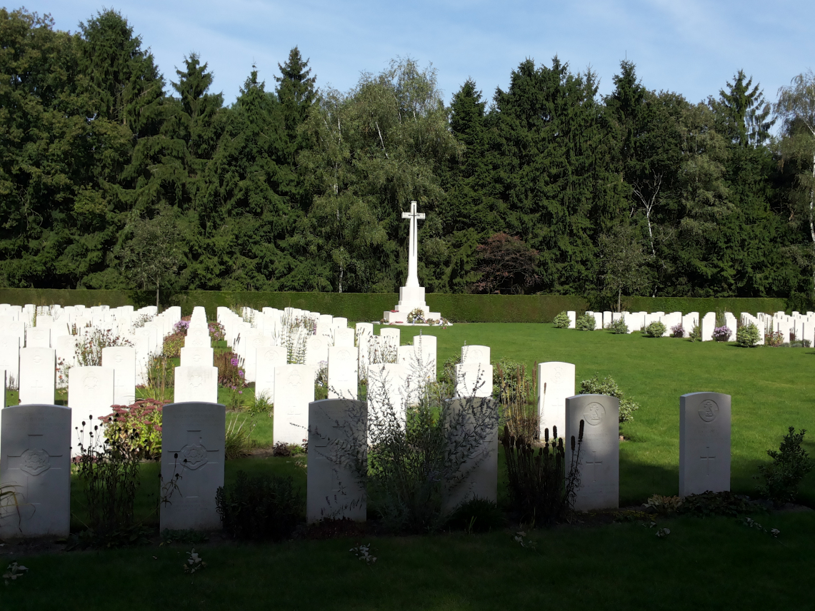
The Netherlands fell to the Germans in May 1940 and was not re-entered by Allied forces until September 1944. The town of Venray was liberated by Allied troops in the middle of October 1944, and the burials in the cemetery date from October 1944 to March 1945. Venray War Cemetery contains 692 Commonwealth burials of the Second World War, 30 of them unidentified, and one Polish burial.