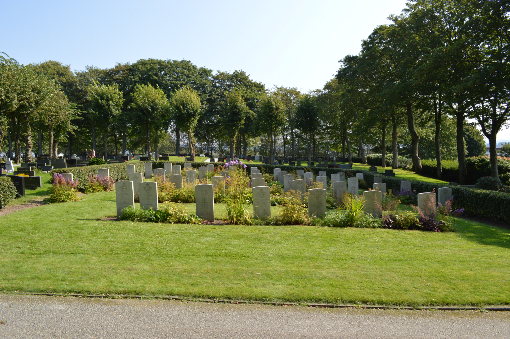
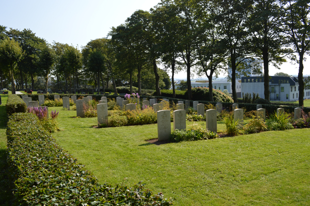
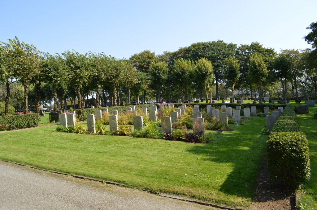
Sola Churchyard
- Country Norway
- Total identified casualties 43 Find these casualties
- Identified casualties from Second World War
- GPS Coordinates Latitude: 58.889732, Longitude: 5.618866
Location information
Sola is situated on the south-west coast, south of Stavanger and just north of Sandnes. From Sola follow the signs to Sola Airport, then follow the signs for Sola church. The Commonwealth war graves are located in a plot at the south end of the churchyard surrounded by a hedge.
History information
During the Second World War, Norway was of strategic importance to the Germans. Their invasion on 9 April 1940 was sudden and widespread and despite Allied intervention, the entire country was under German occupation by early June. Thereafter, Allied activity in Norway was confined to raids and special operations, with the Commonwealth air forces providing support to Norwegian resistance groups until the German capitulation in May 1945. There are no Commonwealth war cemeteries in Norway, those who died there being buried in civil cemeteries and churchyards.
Sola, the site of Stavanger airport, was captured by the Germans on 9 April 1940 and was raided constantly thereafter by the Commonwealth air forces, being the nearest aerodrome in Norway to the home bases in Scotland. It was heavily defended and many of the crews were shot down.
The Commonwealth war graves plot is at the airfield and maintained by the Royal Norwegian Air Force Station at Sola. It contains 45 burials, two of them unidentified, and all but one of them airmen.
In 1961, 13 of the graves were brought to Sola from isolated churchyards at Blomvag, Miomna, Eivindvik and Eikedal.