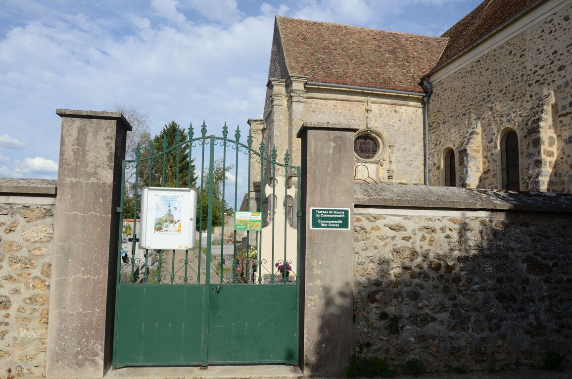
Coignieres Churchyard
- Country France
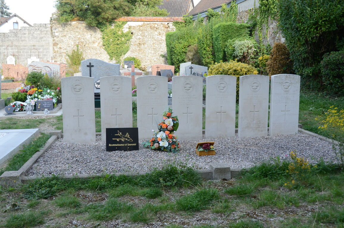
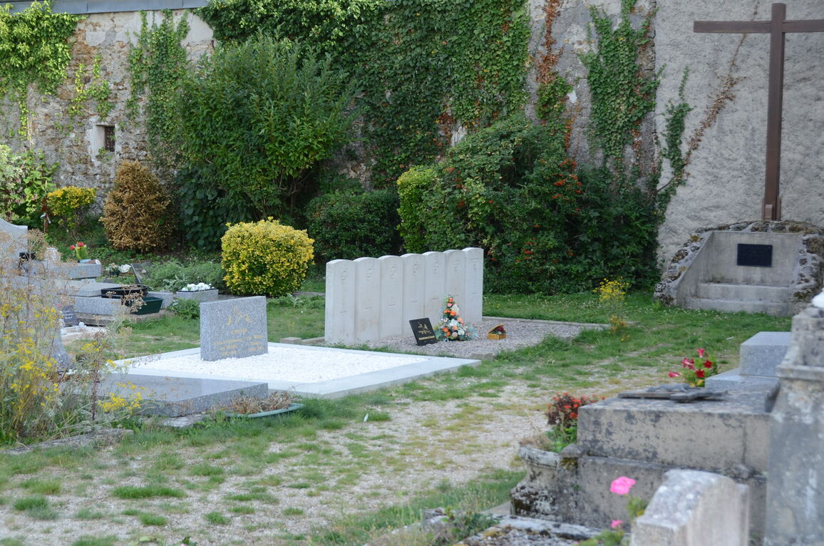
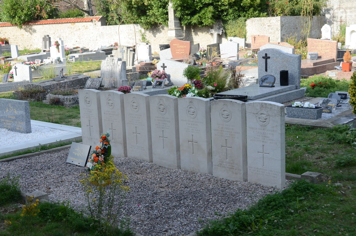
- Total identified casualties 7 Find these casualties
- Region Yvelines
- Identified casualties from Second World War
- GPS Coordinates Latitude: 48.74736, Longitude: 1.91821
Location information
Coignieres is a village 16 kilometres south-west of Versailles, 14 kilometres north-north-east of Rambouillet and is on the Rambouillet-Versailles road. It can be reached by rail from Paris. The collective grave of the 7 British airmen is near the south-east corner of the church.