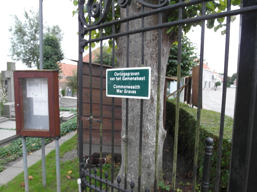
Bulskamp Churchyard
- Country Belgium
- Total identified casualties 26 Find these casualties
- Region West-Vlaanderen
- Identified casualties from Second World War
- GPS Coordinates Latitude: 51.04339, Longitude: 2.65024
Location information
Bulskamp Churchyard is located 6.5 km south of Veurne on the Bulskampstraat, a road leading from the N8 connecting Ieper to Veurne. From Veurne town centre the N39 Duinkerkestraat leads for 500 metres towards Adinkerke and the junction with the N8 Europalaan. 2 km after turning left onto the N8 towards Ieper lies the right hand turning onto Bulskampstraat, which leads for 3 km into the village. The churchyard is located on the left hand side of the Bulskampstraat in the village itself. The graves are located to the right of the church at the rear of the churchyard.
History information
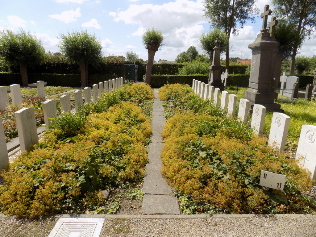
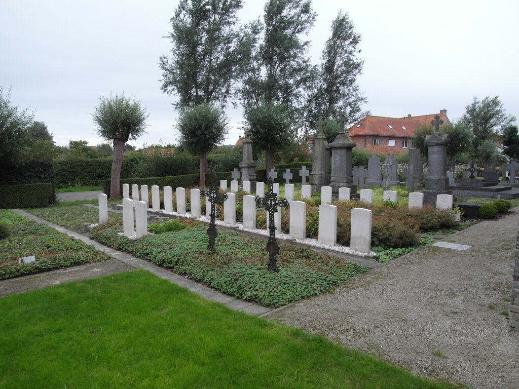
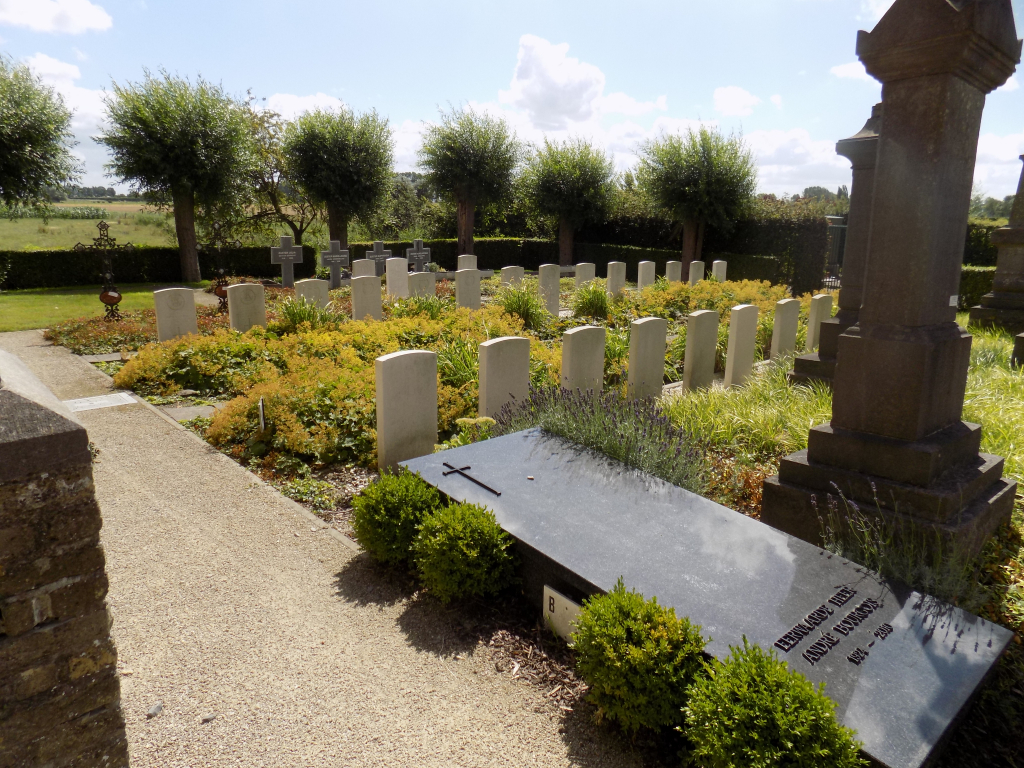
The British Expeditionary Force was involved in the later stages of the defence of Belgium following the German invasion in May 1940, and suffered many casualties in covering the withdrawal to Dunkirk. Bulskamp Churchyard contains 30 Commonwealth burials of the Second World War, four of them unidentified. The graves were moved into the churchyard by the local authorities in September and October 1940 from their original locations on the battlefields between the Bergues canal and Ringslot waterway.