Pollinkhove Churchyard
- Country Belgium
- Total identified casualties 8 Find these casualties
- Region West-Vlaanderen
- Identified casualties from Second World War
- GPS Coordinates Latitude: 50.97076, Longitude: 2.73255
Location information
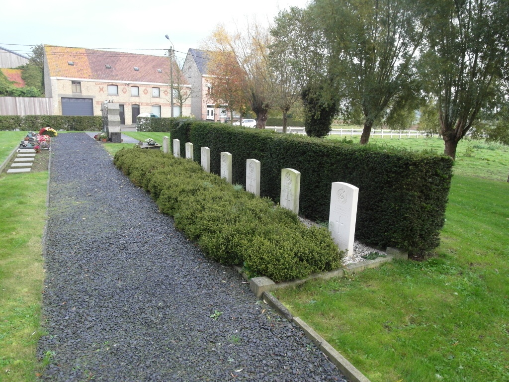
The village of Pollinkhove is located 20 kilometres north of the town of Ieper (formerly Ypres), off the N8 which runs between Ieper and Veurne. Driving from Ieper follow the N8 through the village of Oostvleteren to the next crossroads, take the right hand turning to Pollinkhove along Lindesteenweg. As you come into the village you come to a T junction, turn right into Vaartstraat and the church is on the right. The graves are located at the left rear of the cemetery.
History information
The British Expeditionary Force was involved in the later stages of the defence of Belgium following the German invasion in May 1940, and suffered many casualties in covering the withdrawal to Dunkirk.
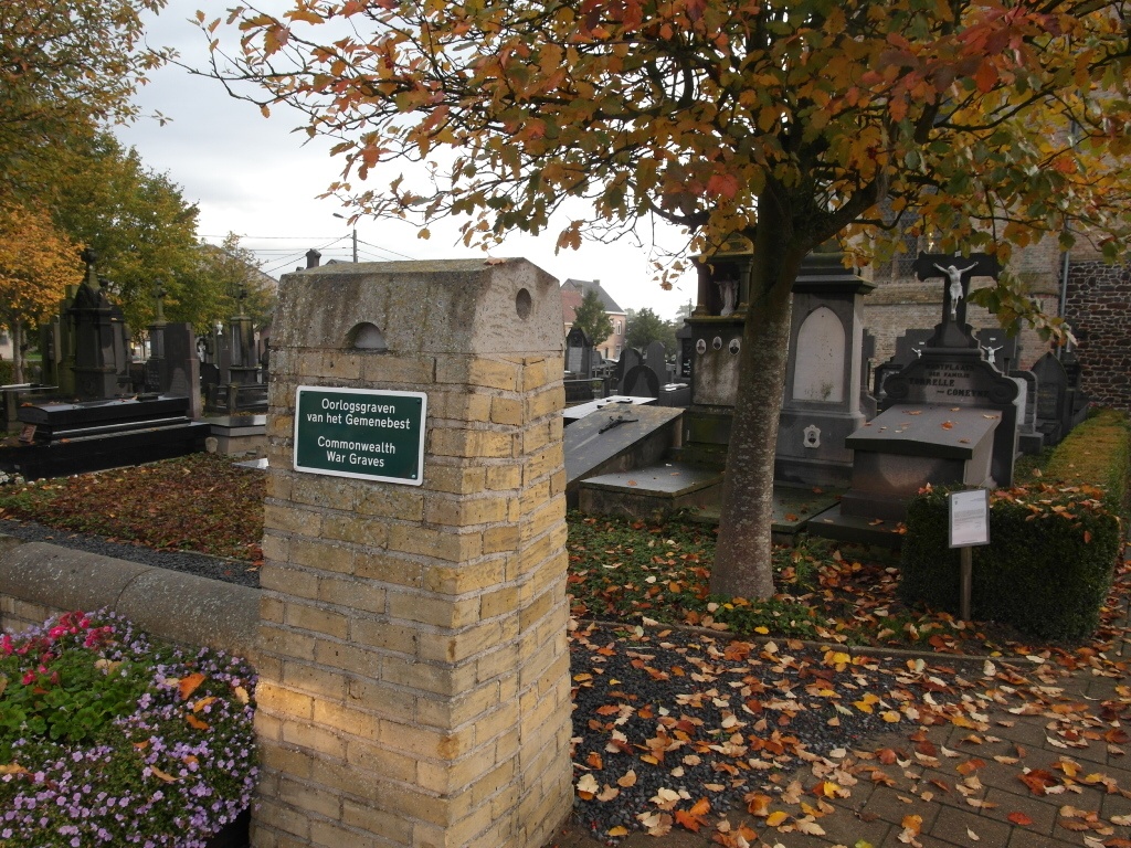
Pollinkhove Churchyard contains eight Commonwealth burials of the Second World War.
In October 2007, a Visitors' Book was placed in the church, where visitors to the war graves can leave their thoughts.