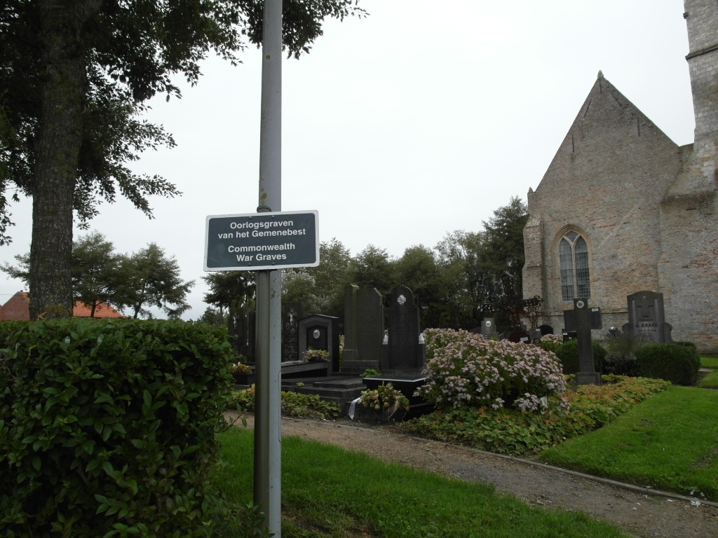
Steenkerke Churchyard
- Country Belgium
- Total identified casualties 2 Find these casualties
- Region West-Vlaanderen
- Identified casualties from Second World War
- GPS Coordinates Latitude: 51.05759, Longitude: 2.68899

Location information
Steenkerke les Furnes Churchyard is located 5 km south east of the town of Veurne on the Steengracht west, a road leading from the N8 Iepersesteenweg. From Veurne town centre the N8 leads for 3 Km to the left hand turning onto the Steengracht west. 2.5 km along the Steengracht West lies the village of Steenkerke. The churchyard itself is located on the left hand side of the road in the village itself.
History information
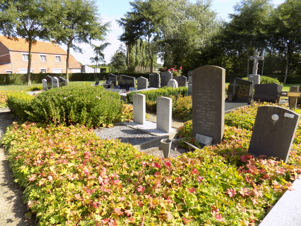
The British Expeditionary Force was involved in the later stages of the defence of Belgium following the German invasion in May 1940, and suffered many casualties in covering the withdrawal to Dunkirk. Commonwealth forces did not return until September 1944, but in the intervening years, many airmen were shot down or crashed in raids on strategic objectives in Belgium, or while returning from missions over Germany. Steenkerke Churchyard contains the graves of two Commonwealth airmen of the Second World War.