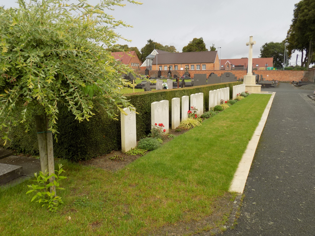
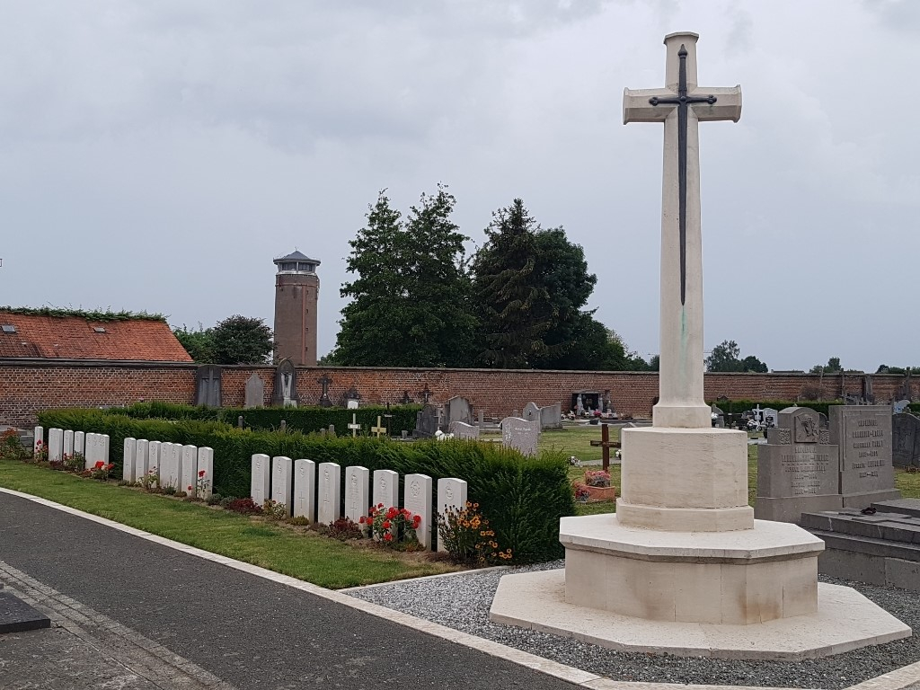
Chievres Communal Cemetery
- Country Belgium
- Total identified casualties 59 Find these casualties
- Region Hainaut
- Identified casualties from Second World War
- GPS Coordinates Latitude: 50.58893, Longitude: 3.81626
Location information
Chievres Communal Cemetery is located 15 km north west of Mons on the N525 a road leading from the N56 connecting Mons to Ath. From Mons the N56 Chaussee de Mons leads for 22 km to the left hand turning onto the N525 Grande Rue. 2 km along the N525 lies the village of Chievres. The cemetery is located immediately before entering the village on the right hand side of the Grande Rue.
Visiting information
Visitors should note that this site is open every day from 08.00 hours to 19.00 hours.
Wheelchair access possible via main entrance.
For further information regarding wheelchair access, please contact our Enquiries Department on telephone number: 01628 634221
History information
The British Expeditionary Force was involved in the later stages of the defence of Belgium following the German invasion in May 1940, and suffered many casualties in covering the withdrawal to Dunkirk. Commonwealth forces did not return until September 1944, but in the intervening years, many airmen were shot down or crashed in raids on strategic objectives in Belgium, or while returning from missions over Germany. From 1941 onwards, there was an important Luftwaffe air base at Chievres, which was attacked twenty-one times by the Allies between November 1943 and 3 September 1944. The cemetery contains 58 Commonwealth burials of the Second World War.