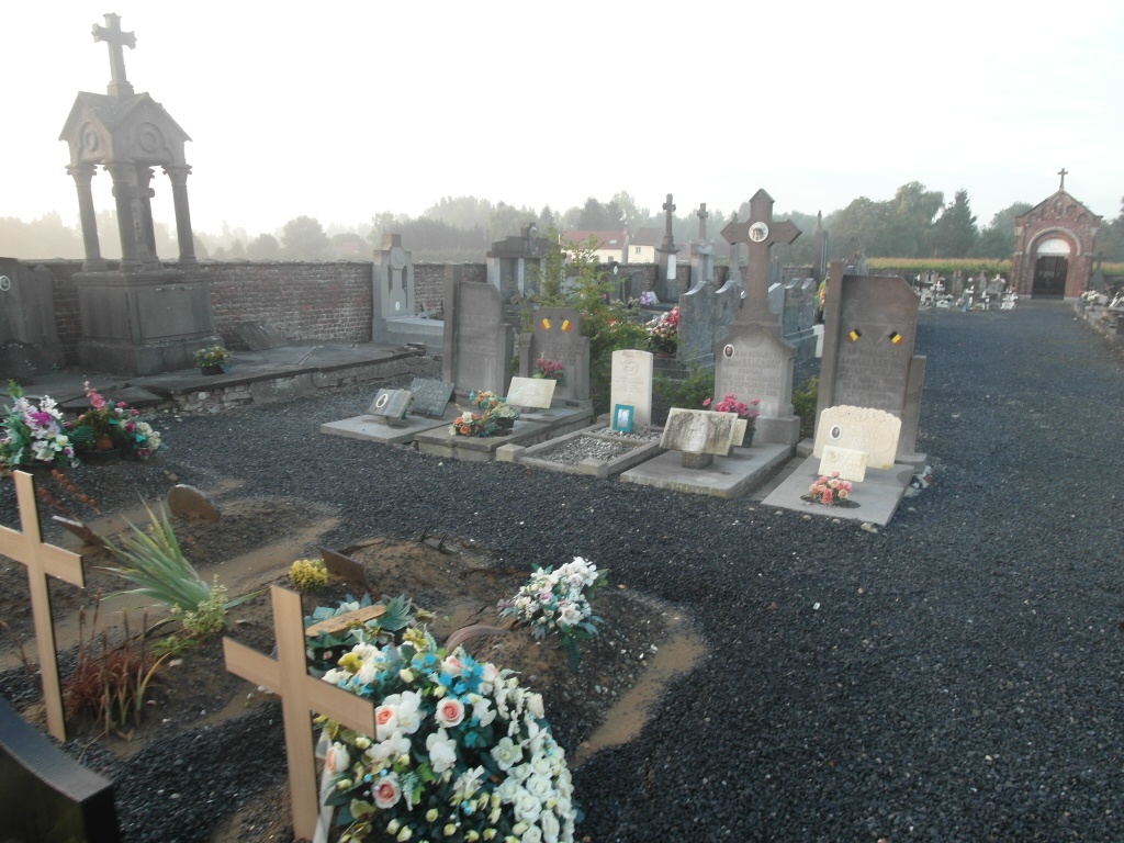
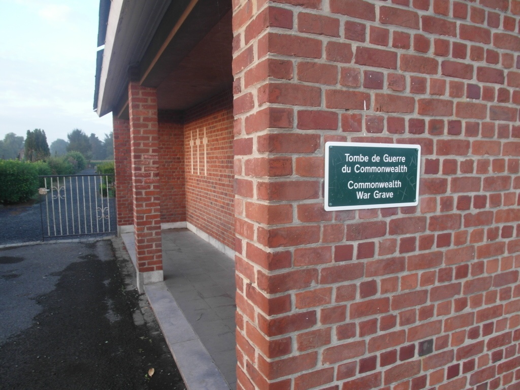
Laplaigne Communal Cemetery
- Country Belgium
- Total identified casualties 1 Find these casualties
- Region Hainaut
- Identified casualties from Second World War
- GPS Coordinates Latitude: 50.51565, Longitude: 3.4471
Location information
The Village of Laplaigne is located south of the town of Tournai off the N52. From the motorway E42 turn off at junction 31 onto the N52 direction Antoing. Follow the N52 past the junction with the N507 and continue along the N52 direction St-Amand (France). In the town of Bleharies turn left, cross the river and follow the road direction Laplaigne. Follow this road to the first crossroads and turn right into rue de Sin. Follow this road to the crossroads and go straight on into rue des Fresneaux, the cemetery is along here on the right.
History information
The British Expeditionary Force was involved in the later stages of the defence of Belgium following the German invasion in May 1940, and suffered many casualties in covering the withdrawal to Dunkirk. Commonwealth forces did not return until September 1944, but in the intervening years, many airmen were shot down or crashed in raids on strategic objectives in Belgium, or while returning from missions over Germany. Laplaigne Communal Cemetery contains the grave of one Commonwealth airman of the Second World War.