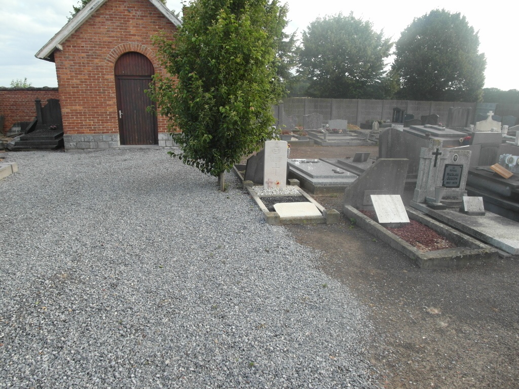
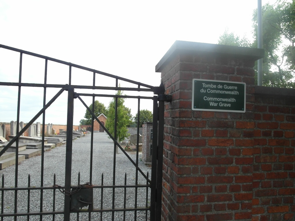
Bettincourt Communal Cemetery
- Country Belgium
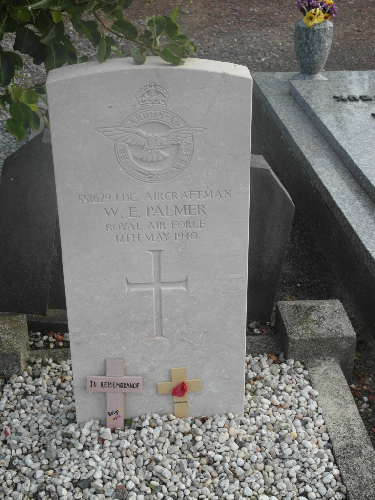
- Total identified casualties 1 Find these casualties
- Region Liege
- Identified casualties from Second World War
- GPS Coordinates Latitude: 50.71376, Longitude: 5.23737
Location information
The village of Bettincourt is located north-west of the town of Waremme off the motorway E40/A3. From the motorway E40/A3 which runs between Brussel and Liege turn off at junction 29 and onto the N69 direction Waremme. In the village of Waremme turn right into rue Saint-Eloi towards the centre. In the centre by the Town Hall turn right into rue du Pont towards Bettincourt. Follow this road straight on, back over the motorway and into Bettincourt, at the second crossroads past the motorway turn right into rue de la Barriere and the cemetery is along here. The grave is located to the right of the main path at the rear of the cemetery.
History information
The British Expeditionary Force was involved in the later stages of the defence of Belgium following the German invasion in May 1940, and suffered many casualties in covering the withdrawal to Dunkirk. Bettincourt Communal Cemetery contains the grave of one Second World War airman.