Voroux-Goreux Communal Cemetery
- Country Belgium
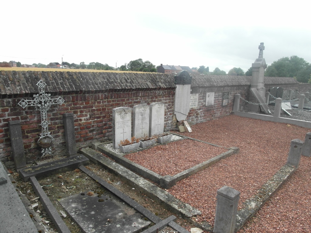
- Total identified casualties 3 Find these casualties
- Region Liege
- Identified casualties from Second World War
- GPS Coordinates Latitude: 50.65703, Longitude: 5.42667
Location information
The village of Voroux-Goreux is located north-west of the town of Liege on the N637. From the motorway E40 which runs between Brussel and Aachen turn off at junction 31 and onto the N3 direction St-Trond, at the first crossroads turn left into Rue J.Delmote direction Fooz, in the village follow the road straight on to Voroux-Goreux. On entering the village there is a large bridge carrying the railway, directly after the bridge turn right into Rue De L'Arret, at the end turn left into Rue Des Champs and the cemetery is along on the right. The graves are located along the left hand wall.
History information
The British Expeditionary Force was involved in the later stages of the defence of Belgium following the German invasion in May 1940, and suffered many casualties in covering the withdrawal to Dunkirk. Voroux-Goreux Communal Cemetery contains the graves of three airmen of the Second World War. The graves are in the Belgian pelouse d'honneur.