Neerpelt Communal Cemetery
- Country Belgium
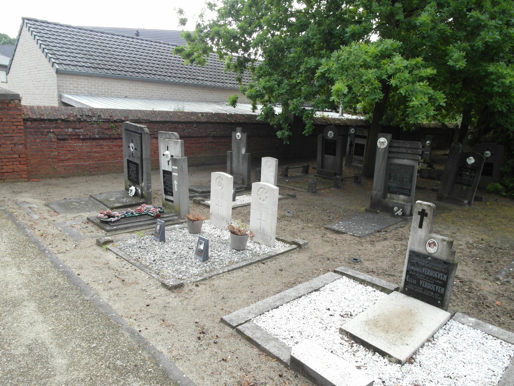
- Total identified casualties 3 Find these casualties
- Region Limburg (Belgium)
- Identified casualties from Second World War
- GPS Coordinates Latitude: 51.2316, Longitude: 5.43678
Location information
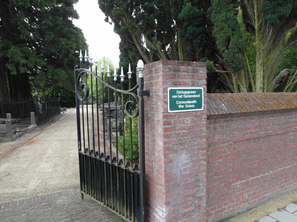
The village of Neerpelt is located north-east of the town of Mol on the N712. From the motorway E313 which runs between Antwerpen and Liege turn off at junction 23 Geel-West and onto the N19 direction Geel, follow the N19 to the junction with the N71 and turn onto the N71 direction Turnhout. Follow the N71 to the junction with the N712 and turn onto the N712 direction Overpelt. Follow the N712 through Overpelt and just before the railway crossing turn left into Clercxhoevestraat, at the end turn right into Nieuwstraat and the cemetery is along on the right. The graves are located towards the left hand side of the cemetery.
History information
The British Expeditionary Force was involved in the later stages of the defence of Belgium following the German invasion in May 1940, and suffered many casualties in covering the withdrawal to Dunkirk. Commonwealth forces did not return until September 1944, but in the intervening years, many airmen were shot down or crashed in raids on strategic objectives in Belgium, or while returning from missions over Germany. Neerpelt Communal Cemetery contains three Commonwealth burials of the Second World War.