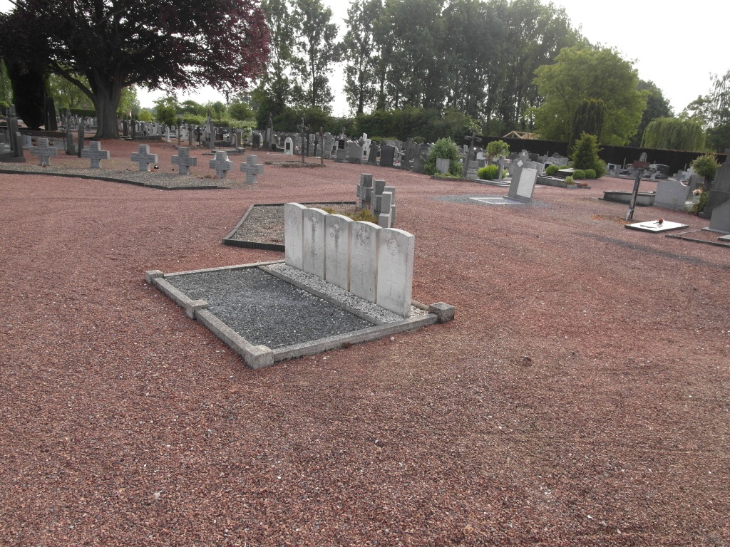
Rekem Communal Cemetery
- Country Belgium
- Total identified casualties 7 Find these casualties
- Region Limburg (Belgium)
- Identified casualties from Second World War
- GPS Coordinates Latitude: 50.92665, Longitude: 5.69685
Location information
The village of Rekem is located north-east of the town of Maastricht on the N78. From the motorway E314 which runs between Aken (Aachen) and Antwerpen turn off at junction 33 Maas-Mechelen and onto the N78 direction Rekem. On entering the village take the first turning on the left called Groenstraat, then take the first turning left into Stenebrugstraat and first right into Gauwakkerstraat and the cemetery is along on the left. The graves are located on the left hand side of the entrance.
History information
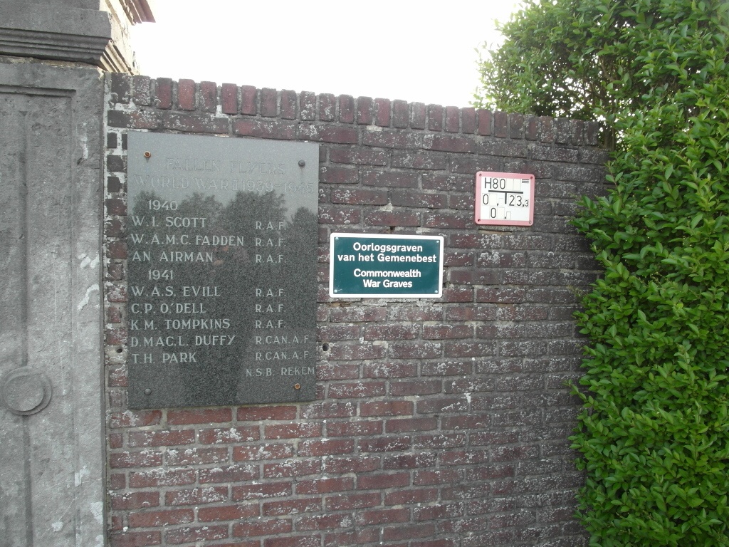
The British Expeditionary Force was involved in the later stages of the defence of Belgium following the German invasion in May 1940, and suffered many casualties in covering the withdrawal to Dunkirk. Commonwealth forces did not return until September 1944, but in the intervening years, many airmen were shot down or crashed in raids on strategic objectives in Belgium, or while returning from missions over Germany.
Rekem Communal Cemetery contains the graves of eight airmen of the Second World War, one of whom is unidentifed.