Vlijtingen Churchyard
- Country Belgium
- Total identified casualties 1 Find these casualties
- Region Limburg (Belgium)
- Identified casualties from Second World War
- GPS Coordinates Latitude: 50.83404, Longitude: 5.58832
Location information
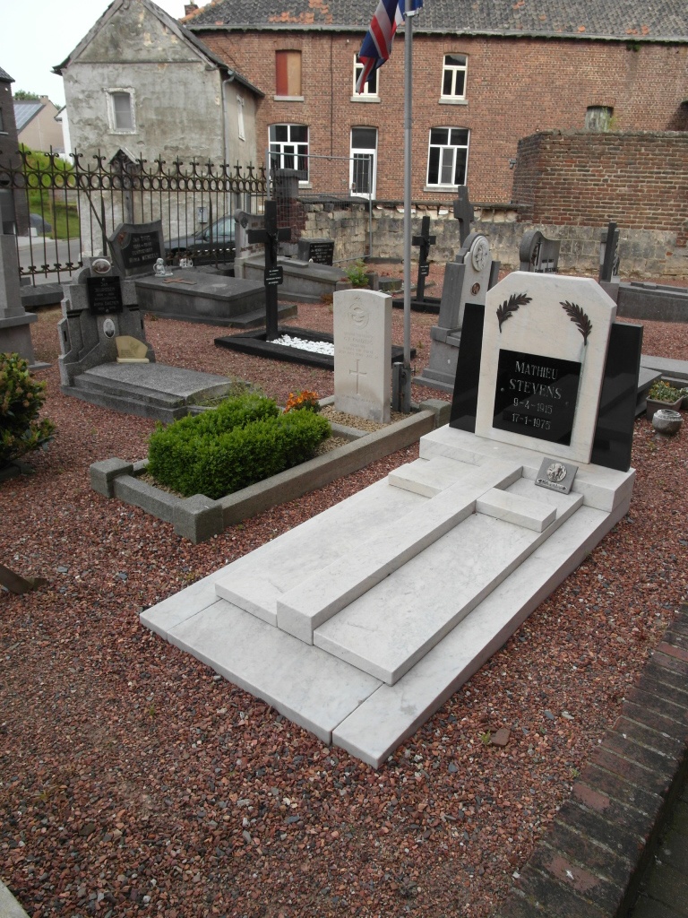
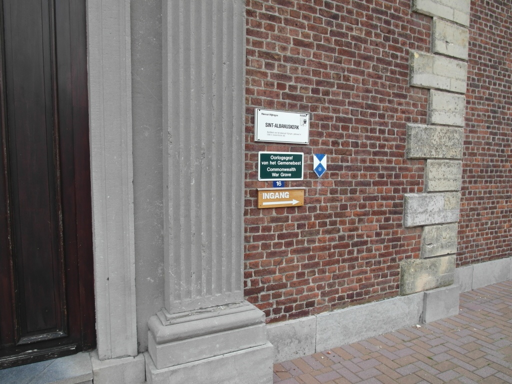
Vlijtingen is a village lying close to the Dutch-Belgian border, 13 kilometers north-east of Tongres and 11 kilometers west of Maastricht (Holland). The churchyard partly surrounds the church, which stands in the centre of the village. The one war grave is located between the entrance and the church on the left of the entrance path.
History information
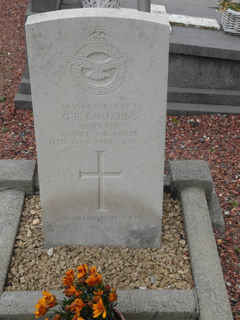
The British Expeditionary Force was involved in the later stages of the defence of Belgium following the German invasion in May 1940, and suffered many casualties in covering the withdrawal to Dunkirk.
Vlijtingen Churchyard contains the grave of one airman of the Second World War.