Hodister (Jupille) Churchyard
- Country Belgium
- Total identified casualties 2 Find these casualties
- Region Luxembourg
- Identified casualties from Second World War
- GPS Coordinates Latitude: 50.20795, Longitude: 5.537729
Location information
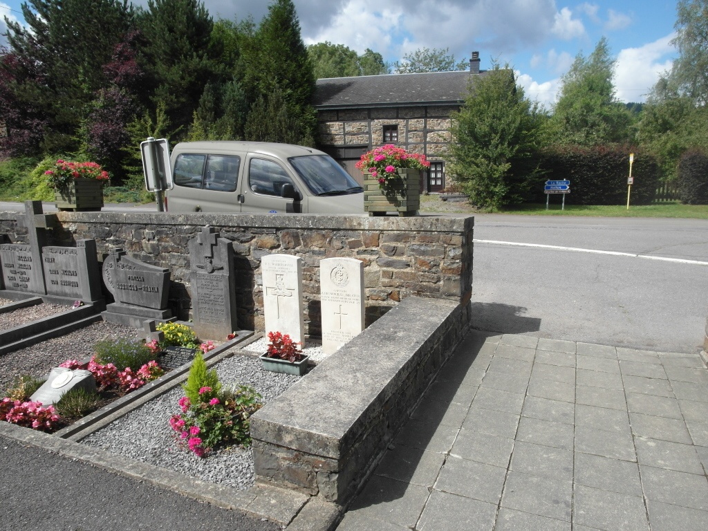
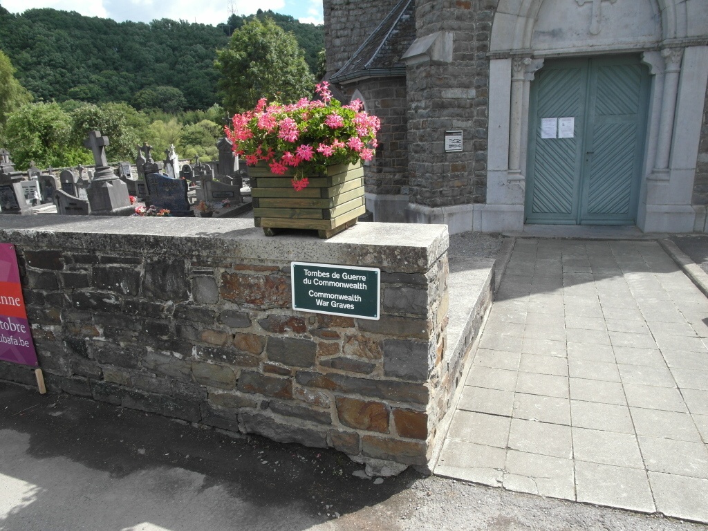
Jupille is a small village administered by the commune of Hodister. It is 4 kilometres east of the village of Hodister, and 6 kilometres north-west of La Roche-en-Ardenne, on the La Roche-Horton-Melreux road. The churchyard surrounds the church, which is in the centre of the village. The Commonwealth burials are close to the entrance.
History information
The British Expeditionary Force was involved in the later stages of the defence of Belgium following the German invasion in May 1940, and suffered many casualties in covering the withdrawal to Dunkirk. Commonwealth forces did not return until September 1944, but in the intervening years, many airmen were shot down or crashed in raids on strategic objectives in Belgium, or while returning from missions over Germany.
Hodister (Jupille) Churchyard contains two burials of the Second World War.