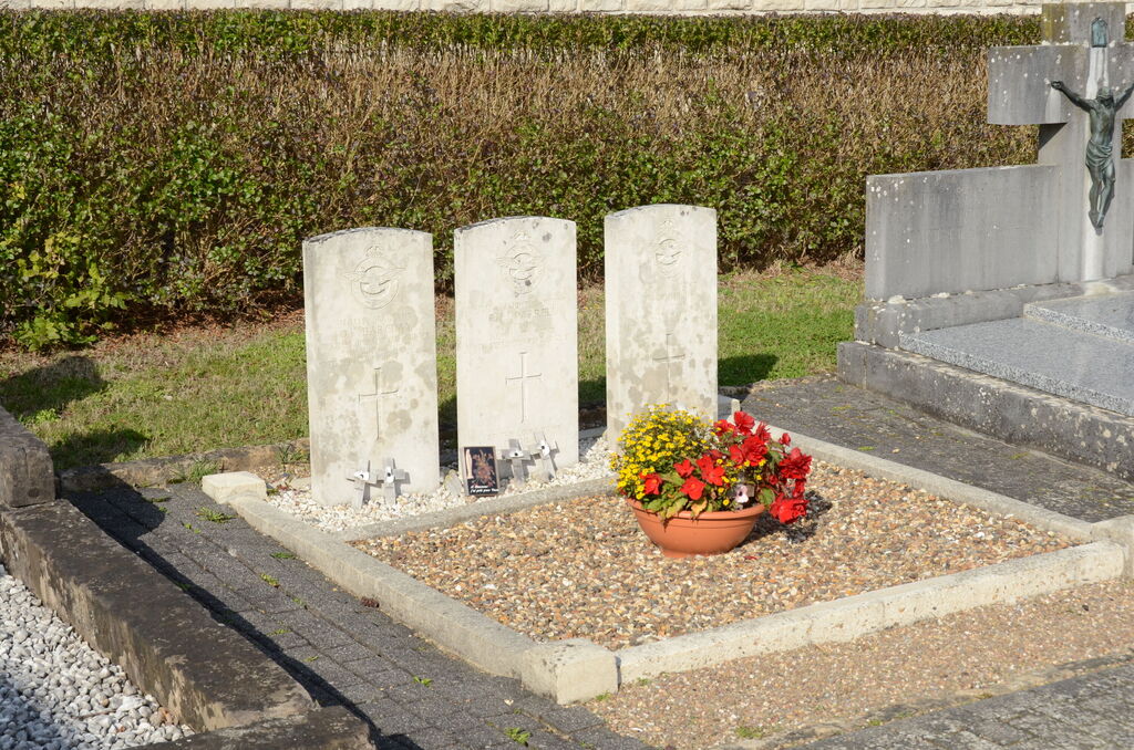
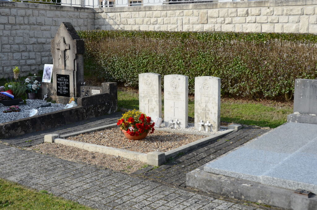
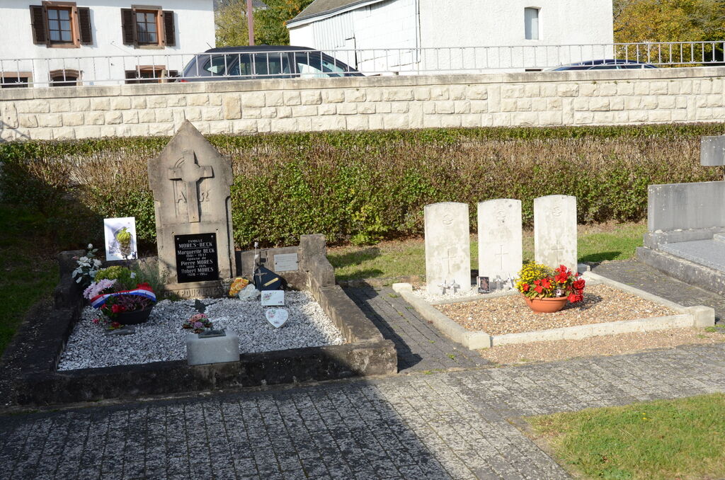
Folschette (Rambrouch) Churchyard
- Country Luxembourg
- Total identified casualties 3 Find these casualties
- Identified casualties from Second World War
- GPS Coordinates Latitude: 49.82998, Longitude: 5.84707
Location information
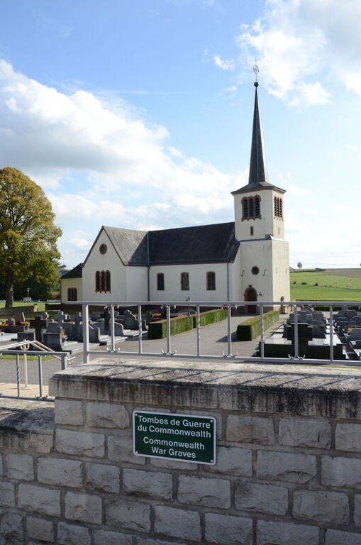
Rambrouch, a village administered by the commune of Folschette about 3 kilometres to the south-east, is situated 45 kilometres north-west of Luxembourg, the capital of the Grand Duchy of Luxembourg. It lies 10 kilometres east of the Belgian border and the main Bastogne-Arlon (Belgium) road. The church stands in Rue Principale, the main road through the village. The churchyard surrounds the church, which stands in the centre of the village. The Commonwealth graves are close to the north-west corner of the church. GPS Co-ordinates: Longitude 05°50'51", Latitude 49°49'48"
History information
Folschette Churchyard contains the graves of three airmen of the Second World War.