Petange (Lamadelaine) Communal Cemetery
- Country Luxembourg
- Total identified casualties 3 Find these casualties
- Identified casualties from Second World War
- GPS Coordinates Latitude: 49.54673, Longitude: 5.85451
Location information
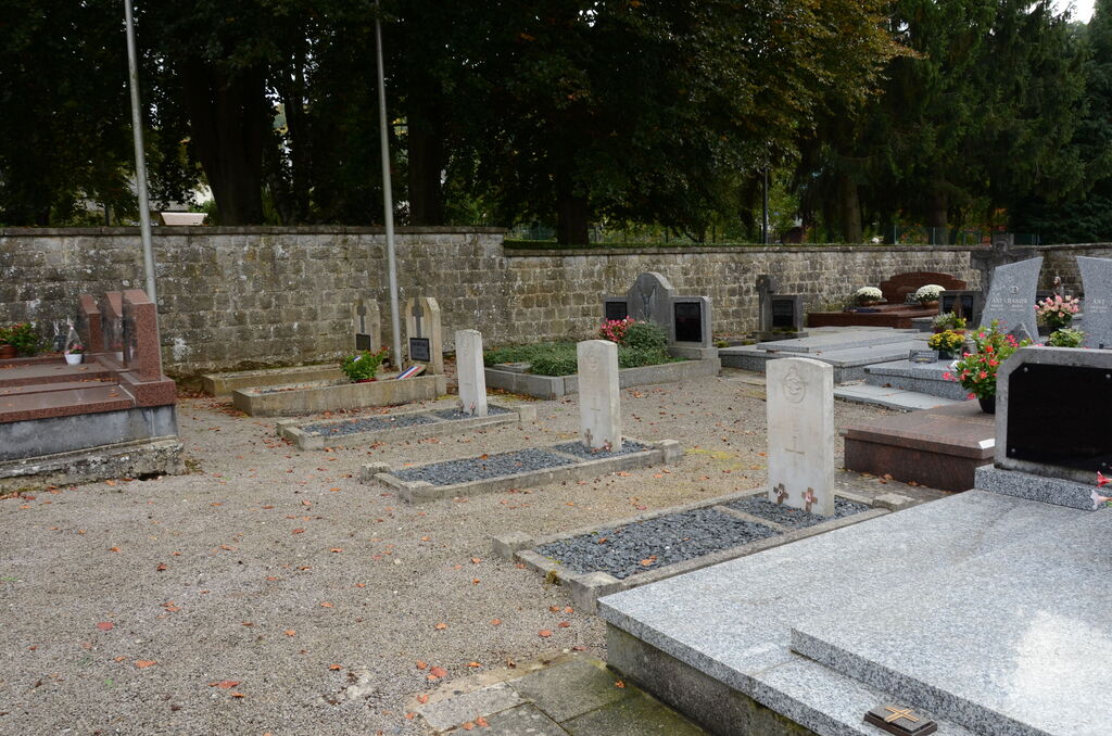
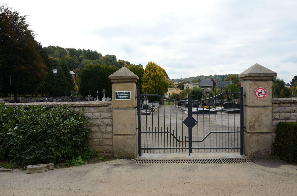
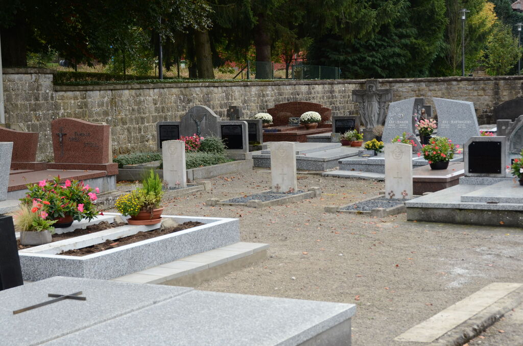
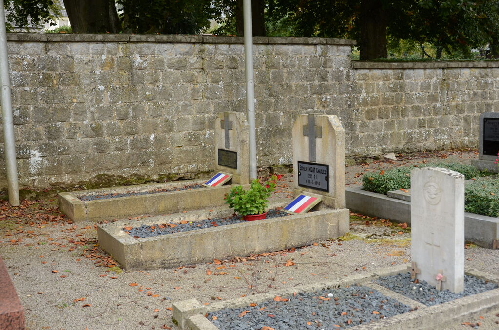
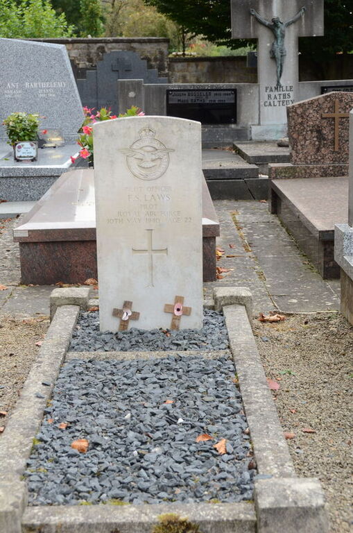
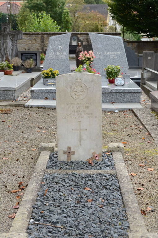
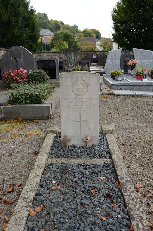
Lamadelaine is a village 2 kilometres south-west of Pétange, by which it is administered, and is 22 kilometres south-west of Luxembourg, the capital of the Grand Duchy. The cemetery is in Rue Providence, on the western outskirts of the village. The Commonwealth burials are near the southern boundary wall. GPS Co-ordinates: Longitude 05°51'15", Latitude 49°32'46"
History information
Petange (La Madelaine) Communal Cemetery contains the graves of three airmen of the Second World War.