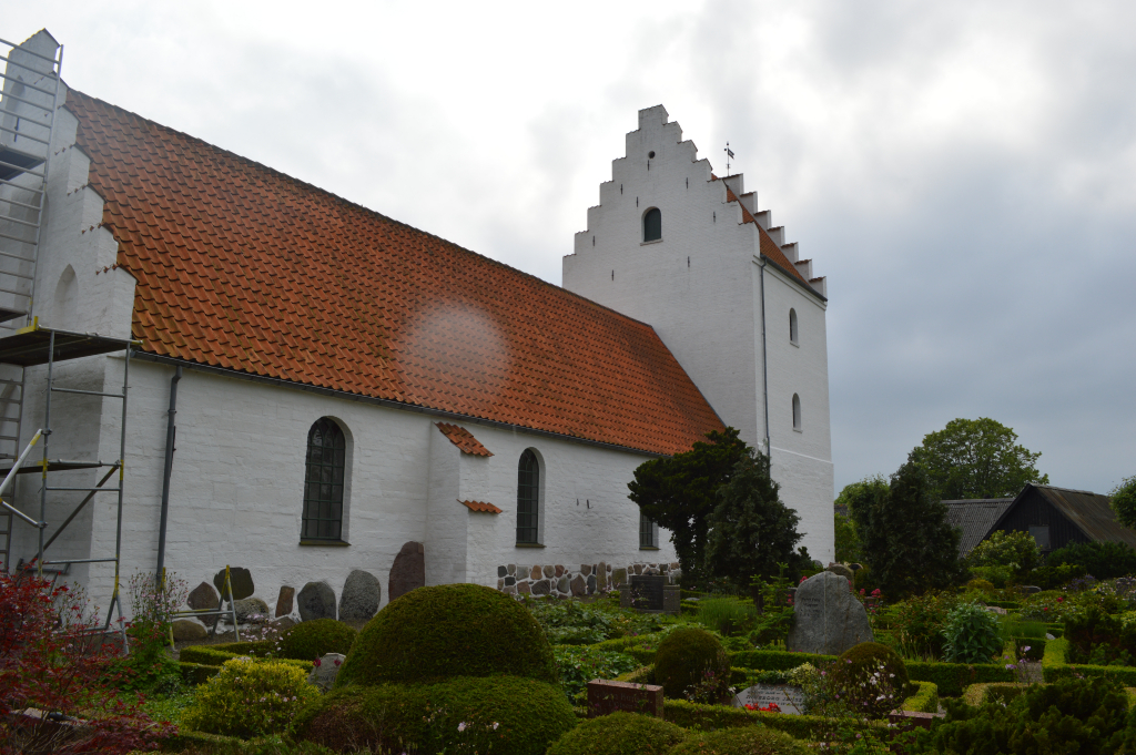
Bogo Churchyard
- Country Denmark
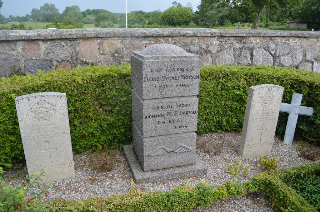
- Total identified casualties 2 Find these casualties
- Identified casualties from Second World War
- GPS Coordinates Latitude: 54.93176, Longitude: 12.0485
Location information
From the motorway E55 turn onto road 287 signposted towards Møn. Driving eastwards follow this road to the sign for Bogø. Turn left and follow the road through the village and the church is at the end of this road, where there is parking. Enter by the small gate on the right and the graves are to the left, by the churchyard wall
History information
Bogo Churchyard contains the graves of two Commonwealth airmen.