Cysoing Communal Cemetery
- Country France
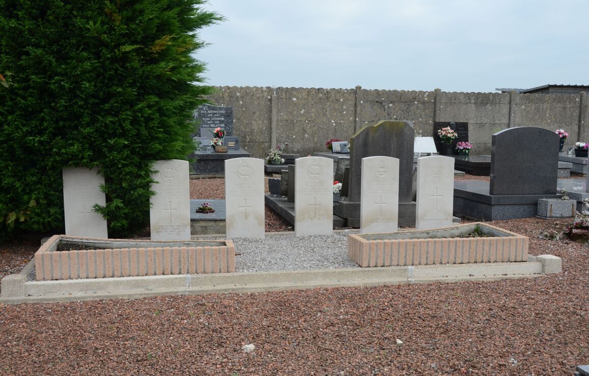
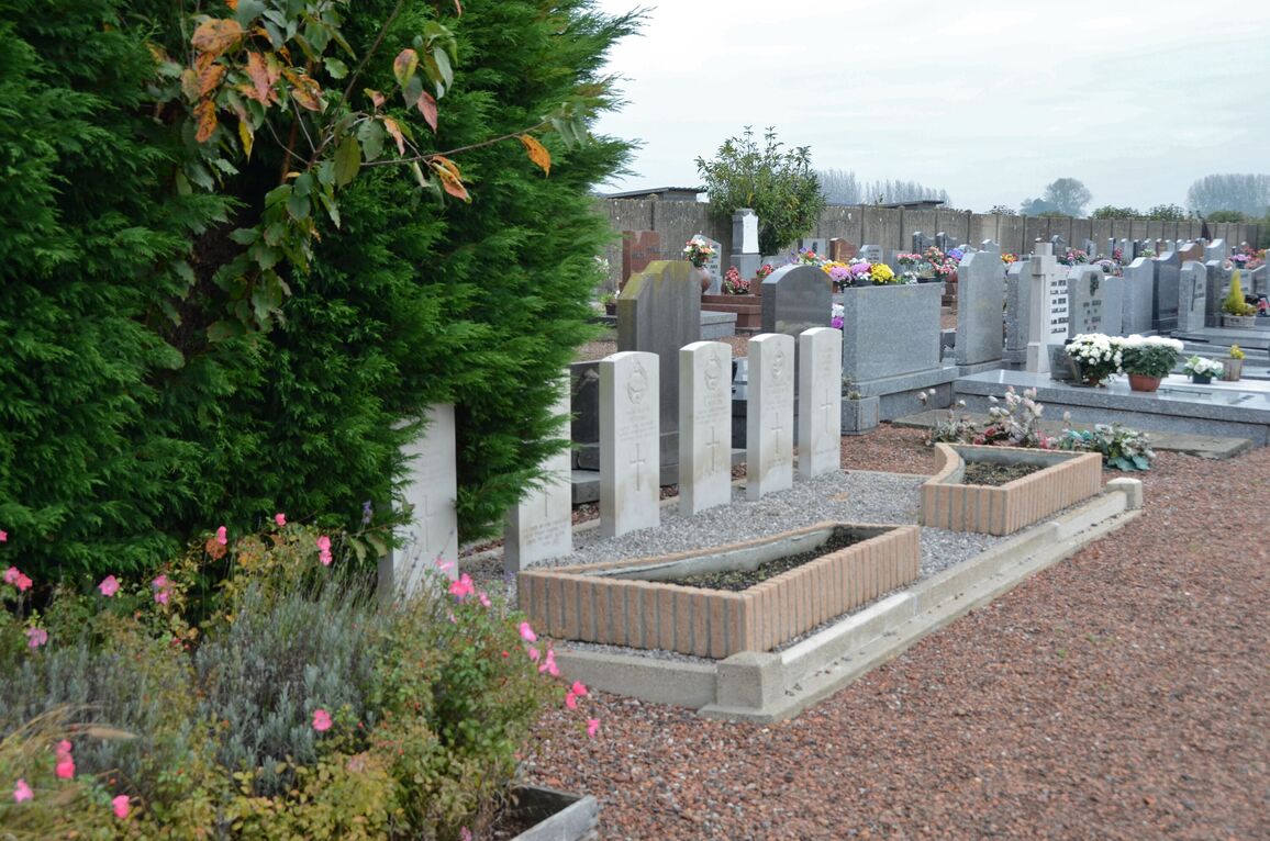
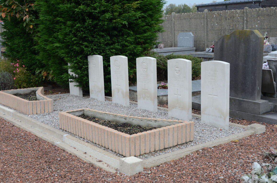
- Total identified casualties 5 Find these casualties
- Region Nord
- Identified casualties from Second World War
- GPS Coordinates Latitude: 50.57462, Longitude: 3.21744
Location information
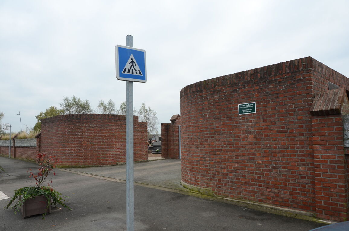
Cysoing is a small town on the main road N.355 from Lille to St. Amand. It is some 8 miles (13 kilometres) south-east of Lille and 12 miles (20 kilometres) north-west of St. Amand. The communal cemetery is at the north of Cysoing, on the D90. The 6 Commonwealth war graves are located a short distance from the central war memorial.