Agnez-Les-Duisans Communal Cemetery
- Country France
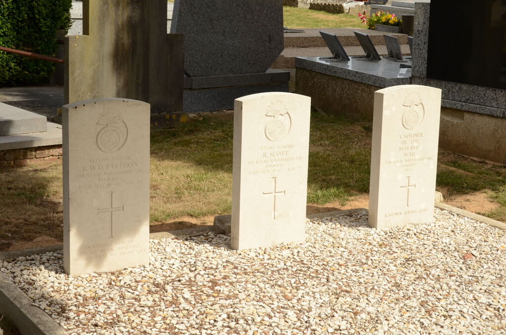
- Total identified casualties 2 Find these casualties
- Region Pas de Calais
- Identified casualties from Second World War
- GPS Coordinates Latitude: 50.30442, Longitude: 2.6601
Location information
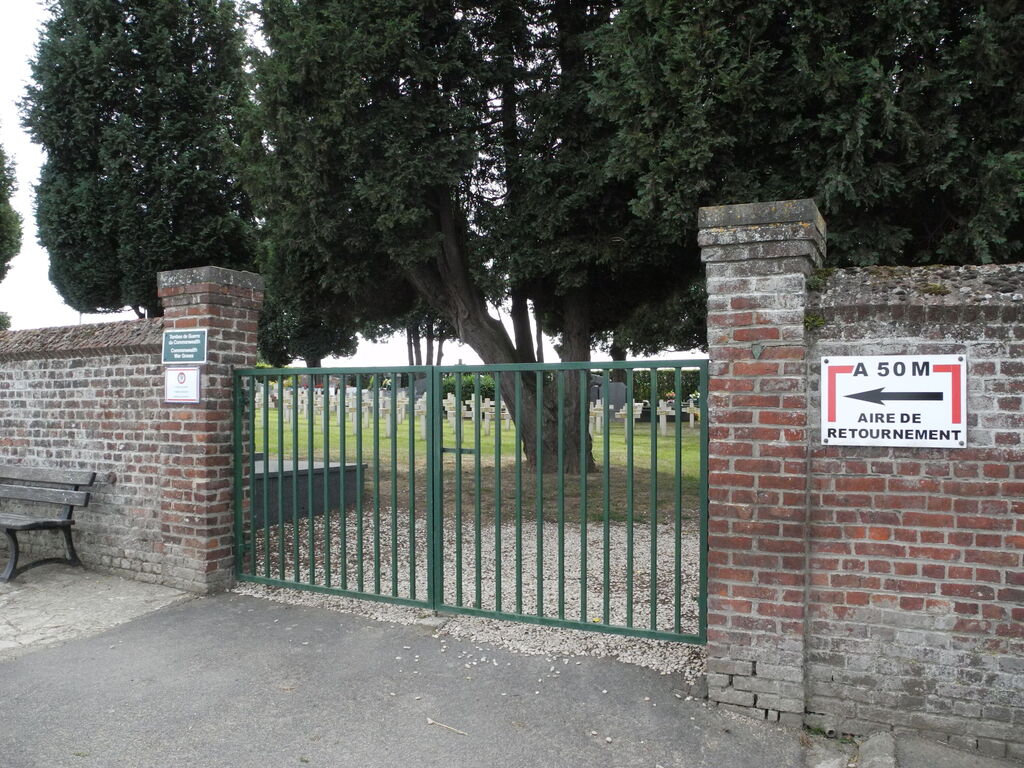
Agnez-les-Duisans is a village and commune about 5 miles (9 kilometres) west of Arras, and 1 mile (2 kilometres) south-west of the N39 road to St. Pol. The cemetery is about half a mile south of the church on the D62 road to the neighbouring village of Warlus.
History information
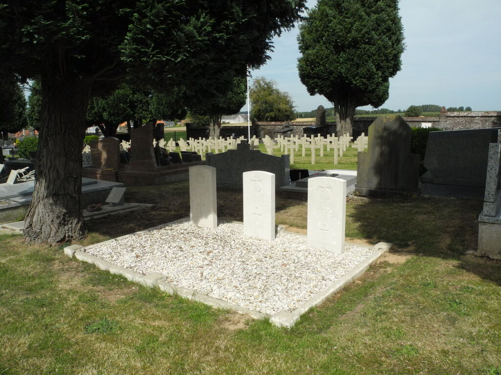
The graves of three soldiers from the United Kingdom, one of whom is not identified, are near the south-western corner of the cemetery.