Gavrelle Communal Cemetery
- Country France
- Total identified casualties 7 Find these casualties
- Region Pas de Calais
- Identified casualties from Second World War
- GPS Coordinates Latitude: 50.32808, Longitude: 2.88983
Location information
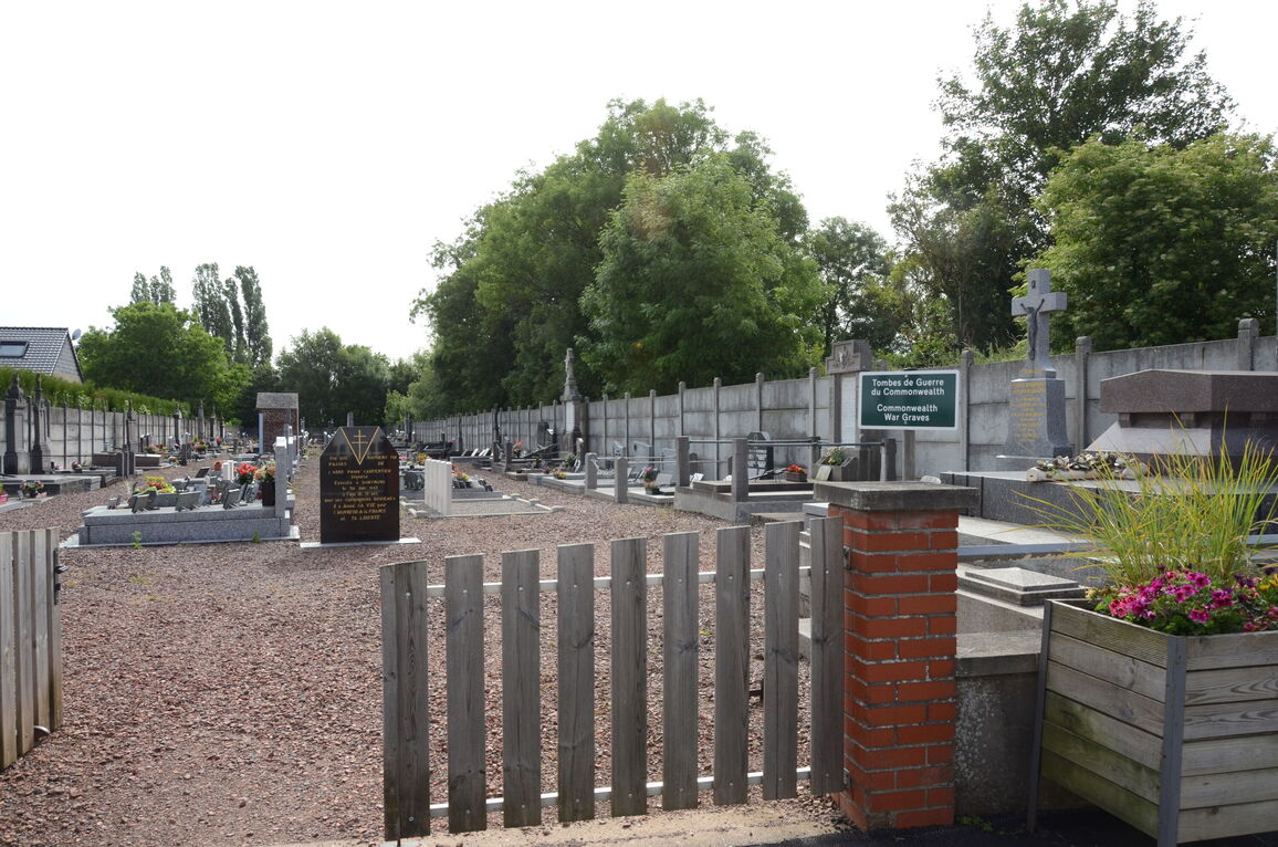
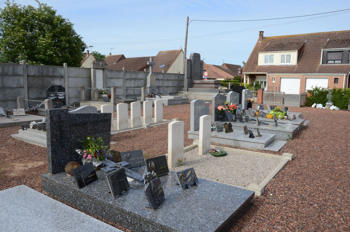
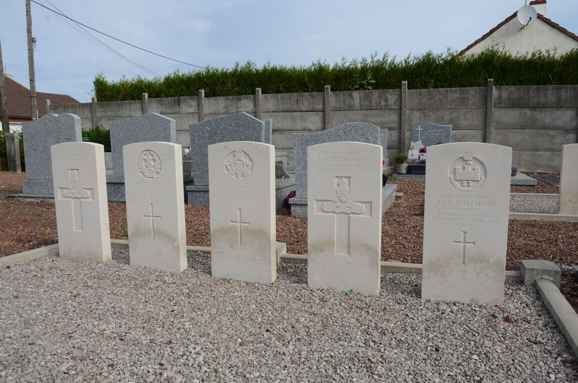
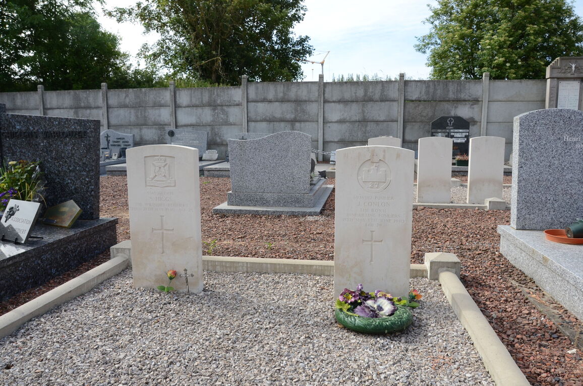
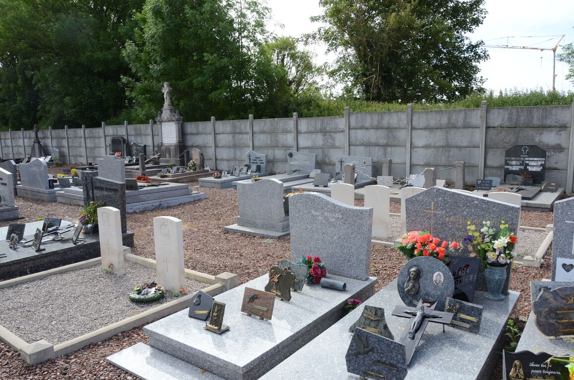
Gavrelle is a village and commune 11 kilometres north-east of Arras, on the N.50 road to Douai. The communal cemetery is south-east of the village on the road to Plouvain. There are seven British graves; they are in two plots which lie on each side of the main path from the entrance.