Pacy-Sur-Eure Communal Cemetery
- Country France
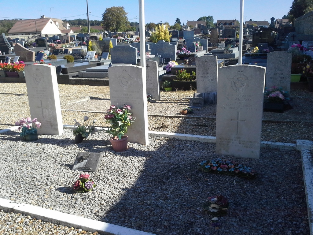
- Total identified casualties 3 Find these casualties
- Region Eure
- Identified casualties from Second World War
- GPS Coordinates Latitude: 49.01959, Longitude: 1.38088
Location information
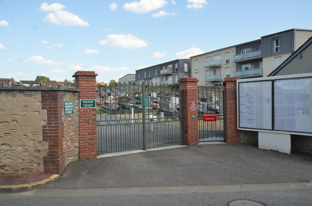
Pacy-sur-Eure is a small town and commune on the N.13 road to Nantes and Paris, about 19 kilometres east of Evreux. The cemetery is north of the town, 100 yards from the main road to Louviers (N.836). About 15 yards south-east of the entrance are the graves of three airmen of the Royal Air Force.